Browse / United Kingdom / Scotland / North Berwick
North Berwick
Scotlandtown

North Berwick
Total population
6,605
Demographic figures from UK Office for National Statistics. Overview below cites Wikipedia and may reference a different year.
City facts
Overview
North Berwick is a seaside town and former royal burgh in East Lothian, Scotland. It is situated on the south shore of the Firth of Forth, approximately 20 miles (32 km) east-northeast of Edinburgh. North Berwick became a fashionable holiday resort in the nineteenth century because of its two sandy bays, the East Bay and the West Bay, and continues to attract holidaymakers. Golf courses at the ends of each bay are open to visitors.
Read more on WikipediaHistory & geography
History
Excavations have shown that from as early as the eighth century, a ferry crossing to Earlsferry, near Elie in Fife was in existence, serving pilgrims on their way to the shrine of Saint Andrew. North Berwick Harbour was built in the twelfth century to meet the demands made of the existing ferry trade. This ferry was recently reinstated; during the summer, a boat travels between North Berwick and Anstruther in Fife, in homage to the original ferry. Around 1150, Duncan, Earl of Fife of the Clan MacDuff founded an influential Cistercian nunnery (whose power continued until the Scottish Reformation, and its dissolution in 1588). Duncan's family shortly afterwards, at the start of the thirteenth century built North Berwick Castle erecting a wooden motte and bailey on the site of what is now Castle Hill in the east end of the town, at the start of Tantallon Terrace. This castle was attacked and held by the Earl of Pembroke around 1306; the English abandoned it by 1314, during the aftermath of the Battle of Bannockburn. Late in the fourteenth century the Lauder family (owners of the Bass Rock castle) erected a stone tower with a barmkin on the site; however they had abandoned it by 1420 in favour of the Bass, possibly as a result of conflict with the owners of nearby Tantallon Castle. In the fourteenth century, the town became a baronial burgh under William Douglas, 1st Earl of Douglas, who then built nearby Tantallon Castle to consolidate his power. Later, during the fifteenth century, the town became a royal burgh in the reign of James I of Scotland. The "Auld Kirk Green" at the harbour was allegedly used for gatherings by the accused in the North Berwick Witch Trials (1590–92). Legend has it that Satan himself attended a ritual there in 1590. During the sixteenth…
Excerpted from the corresponding Wikipedia article (CC BY-SA).
Geography
Coordinates & boundaries from the US Census TIGER/Line shapefiles.
Climate
Air quality
Walkability
Amenities nearby
Wildlife & biodiversity
Most-observed species
- Herring GullLarus argentatus Pontoppidan, 1763 · Aves6,015
- Carrion CrowCorvus corone Linnaeus, 1758 · Aves5,819
- Eurasian OystercatcherHaematopus ostralegus Linnaeus, 1758 · Aves5,392
- Common Wood-PigeonColumba palumbus Linnaeus, 1758 · Aves5,011
- Black-headed GullChroicocephalus ridibundus (Linnaeus, 1766) · Aves4,218
- Common EiderSomateria mollissima (Linnaeus, 1758) · Aves4,111
- Eurasian MagpiePica pica (Linnaeus, 1758) · Aves4,006
- Eurasian CurlewNumenius arquata (Linnaeus, 1758) · Aves3,980
Citizen-science & research observations from the Global Biodiversity Information Facility (GBIF).
Earthquake history
Most recent
- M 2.5 — 2005-12-313 km WSW of Auchterarder, United Kingdom
Events from the USGS Earthquake Catalog (global) (FDSN Event Web Service).
Photos
Sights & places nearby
Notable people from here
Nearby places in Scotland
Geography & sun
Elevation, sunrise/sunset and daylight from Open-Meteo. Solar climatology from NASA POWER.
Nearby airports
Public attention
Pageview totals from the Wikimedia Pageviews API.
Books about North Berwick

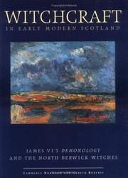


Search results from Open Library.
Recent natural events nearby
Ground air-quality sensors
Recently spotted species
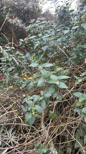
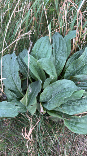
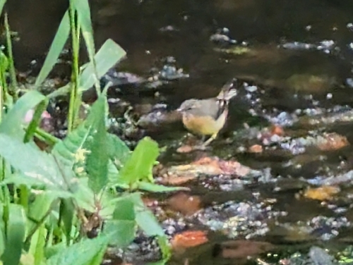
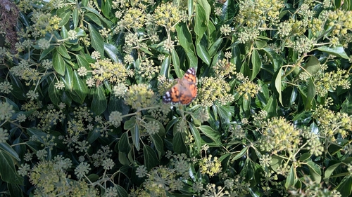
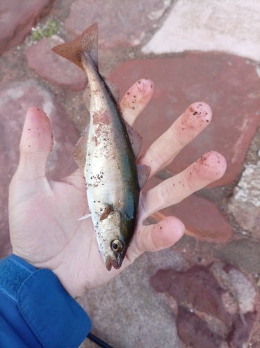
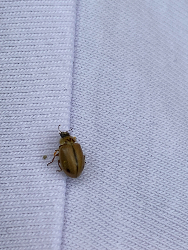
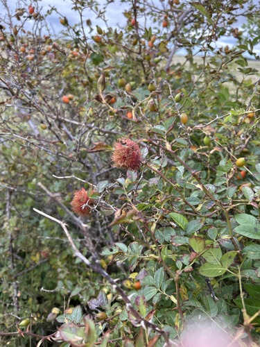
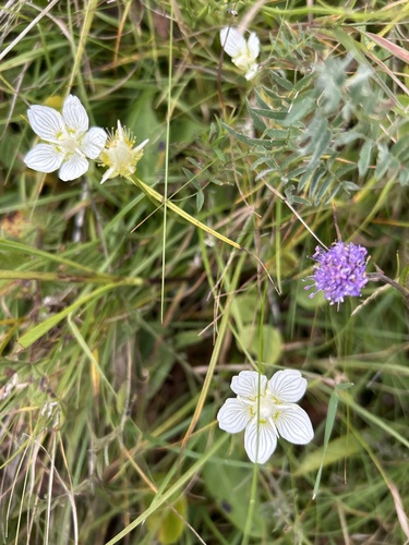
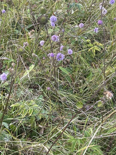
Research-grade observations from iNaturalist (within ~15 mi).
Events
Gallery
Official Identifiers
ONS — UK Office for National Statistics
- ONS code
- osgb4000000074556437
- Local type
- Town
- Region
- Scotland
api.postcodes.io / OS Open Names
Sources
- • Wikipedia
- • USGS Earthquake Catalog (global feed)
- • GBIF (Global Biodiversity Information Facility)
- • iNaturalist
- • Open-Meteo / sunrise-sunset.org
- • Wikipedia Pageviews API
- • Open Library
- • ONS / OS Open Names — UK official place gazetteer, via api.postcodes.io (OS code, local type, county/unitary, district/borough, region)
- • ONS — UK Office for National Statistics — api.postcodes.io / OS Open Names