Browse / United Kingdom / England / Penzance
Penzance
Englandtown

Penzance
Total population
21,200
Demographic figures from UK Office for National Statistics. Overview below cites Wikipedia and may reference a different year.
City facts
Sister cities
Facts from Wikidata (CC0).
Overview
Penzance is a town, civil parish and port in Cornwall, England. It lies 64 miles (103 km) west-southwest of Plymouth, 255 miles (410 km) west-southwest of London, and 9 miles (14 km) east of Land's End. Penzance railway station is the terminus of the Cornish Main Line and is both the southernmost and westernmost station in England. Situated in the shelter of Mount's Bay, the town faces south-east onto the English Channel. As well as Penzance itself, the parish also includes the fishing port of Newlyn and the villages of Mousehole, Paul, Gulval, and Heamoor. At the 2021 census the population of the parish was 20,734 and the population of the Penzance built-up area as defined by the Office for National Statistics was 14,960.
Read more on WikipediaHistory & geography
History
About 400 prehistoric stone axes, known as Group 1 axes and made from greenstone, have been found all over Britain, which from petrological analysis appear to come from west Cornwall. Although the quarry has not been identified, it has been suggested that the Gear, a rock now submerged half a mile from the shore at Penzance, may be the site. A significant amount of trade is indicated as many have been found elsewhere in Britain. The earliest evidence of settlement in Penzance is from the Bronze Age. A number of bronze implements such as a palstave, a spear-head, a knife, and pins, along with much pottery and large quantities of charcoal were discovered when building a new housing estate, at Tredarvah, to the west of Alverton. The defensive earthwork known as Lescudjack Castle is not excavated, but almost certainly belongs to the Iron Age. A single rampart encloses three acres of hilltop, and would have dominated the approach to the area from the east. There are no signs of the additional ramparts reported by William Hals in about 1730, There are traces of a rampart and ditch to the west of Penzance at Mount Misery, and an oval rampart and ditch at Lesingey above the St Just road, which together with Lescudjack, overlook the coast of Penzance and Newlyn. Until recently, there was little evidence for anything but an early and short Roman occupation of Cornwall, and there have so far been only three finds in Penzance. In August 1899 two coins of Vespasian (69–79 AD) were found in an ancient trench in Penzance Cemetery. The coins were eight feet below ground together with some cow bones, and are now in the Penlee House Museum. Another coin, found in 1934 in the Alverton area, depicts Sol, the Roman sun god. It is described as a ″coin of the reign of Constantine the…
Geography
Penlee Quarry which is within the boundaries of the Penzance parish is a geological SSSI.
Excerpted from the corresponding Wikipedia article (CC BY-SA).
Geography
Coordinates & boundaries from the US Census TIGER/Line shapefiles.
Climate
Air quality
Walkability
Amenities nearby
Wildlife & biodiversity
Most-observed species
- Herring GullLarus argentatus Pontoppidan, 1763 · Aves11,779
- Common Wood-PigeonColumba palumbus Linnaeus, 1758 · Aves8,208
- Carrion CrowCorvus corone Linnaeus, 1758 · Aves8,059
- Western JackdawColoeus monedula (Linnaeus, 1758) · Aves7,906
- European RobinErithacus rubecula (Linnaeus, 1758) · Aves7,383
- Eurasian WrenTroglodytes troglodytes (Linnaeus, 1758) · Aves7,086
- Eurasian BlackbirdTurdus merula Linnaeus, 1758 · Aves7,023
- Eurasian MagpiePica pica (Linnaeus, 1758) · Aves6,658
Citizen-science & research observations from the Global Biodiversity Information Facility (GBIF).
Earthquake history
Most recent
- M 2.8 — 2008-03-2338 km NW of St Just, United Kingdom
- M 2.6 — 2007-12-0246 km SSE of Mullion, United Kingdom
- M 2.8 — 2006-12-191 km NNE of Polperro, United Kingdom
- M 3.6 — 2005-08-2448 km SSW of Newton Ferrers, United Kingdom
Events from the USGS Earthquake Catalog (global) (FDSN Event Web Service).
Photos
Sights & places nearby
Notable people from here
Geography & sun
Elevation, sunrise/sunset and daylight from Open-Meteo. Solar climatology from NASA POWER.
Nearby airports
Public attention
Pageview totals from the Wikimedia Pageviews API.
Books about Penzance

![[Report 1958]](https://covers.openlibrary.org/b/id/11795587-M.jpg)
![[Report 1962-1964]](https://covers.openlibrary.org/b/id/13412324-M.jpg)
![[Report 1895]](https://covers.openlibrary.org/b/id/11792849-M.jpg)
![[Report 1963]](https://covers.openlibrary.org/b/id/11795747-M.jpg)
![[Report 1959]](https://covers.openlibrary.org/b/id/11795745-M.jpg)
![[Report 1925]](https://covers.openlibrary.org/b/id/13372274-M.jpg)
Search results from Open Library.
Recent natural events nearby
Ground air-quality sensors
Recently spotted species
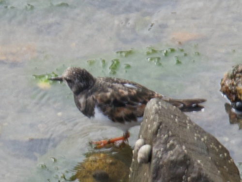
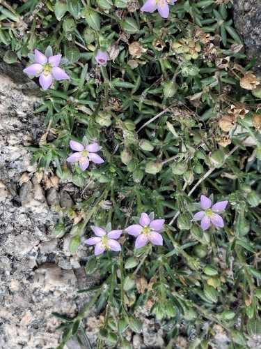
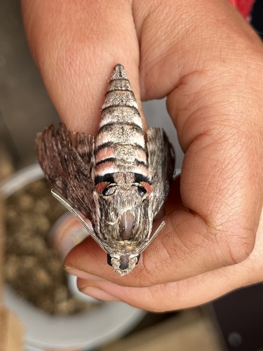
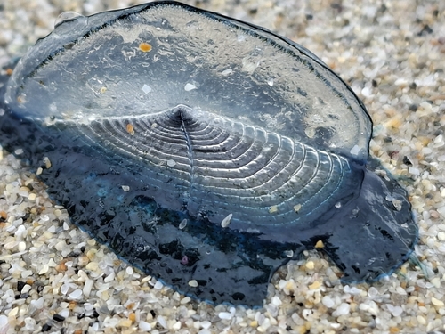
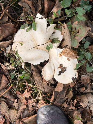
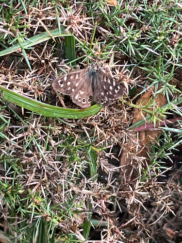
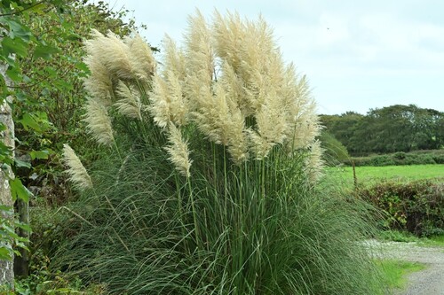
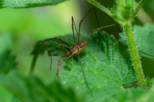
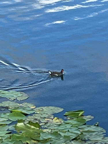
Research-grade observations from iNaturalist (within ~15 mi).
Events
Gallery
Official Identifiers
ONS — UK Office for National Statistics
- ONS code
- osgb4000000074577281
- Local type
- Town
- Region
- South West
api.postcodes.io / OS Open Names
Sources
- • Wikipedia
- • Wikidata
- • USGS Earthquake Catalog (global feed)
- • GBIF (Global Biodiversity Information Facility)
- • iNaturalist
- • Open-Meteo / sunrise-sunset.org
- • Wikipedia Pageviews API
- • Open Library
- • Wikidata SPARQL (CC0) — population, area, elevation, inception, head of government, Commons image
- • ONS / OS Open Names — UK official place gazetteer, via api.postcodes.io (OS code, local type, county/unitary, district/borough, region)
- • ONS — UK Office for National Statistics — api.postcodes.io / OS Open Names