Browse / United Kingdom / England / Peterborough
Peterborough
Englandcity

Peterborough
Total population
183,600
Air quality index
Demographic figures from UK Office for National Statistics. Overview below cites Wikipedia and may reference a different year.
City facts
Facts from Wikidata (CC0).
Overview
Peterborough is a cathedral city in the City of Peterborough district in the ceremonial county of Cambridgeshire, England. The city is 74 miles (119 km) north of London, on the River Nene. As of the 2021 census, the Peterborough urban area had a population of 192,178, In 2023, the Peterborough City Council estimated the population of the wider district to be 219,510.
Read more on WikipediaHistory & geography
History
The original name of the town was Medeshamstede. The town's name changed to Burgh from the late tenth century, possibly after Abbot Kenulf had built a defensive wall around the abbey, which was dedicated to Saint Peter; eventually this developed into the form Peterborough. In the 12th century the town was also known as Gildenburgh, which is found in the Peterborough version of the Anglo-Saxon Chronicle (see Peterborough Chronicle below) and a history of the abbey by the monk Hugh Candidus. The town does not appear to have been a borough until at least the 12th century. Peterborough and its surrounding areas have been inhabited for thousands of years because it is where permanently drained land in The Fens is created by the River Nene. Remains of Iron Age settlement and what is thought to be religious activity can be seen at the Flag Fen archaeological site to the east of the city centre. The Romans established a fortified garrison town at Durobrivae on Ermine Street, to the west in Water Newton, around the middle of the 1st century AD. Durobrivae's earliest appearance among surviving records is in the Antonine Itinerary of the late 2nd century. There was also a large 1st century Roman fort at Longthorpe, designed to house half a legion, or about 3,000 soldiers; it may have been established as early as around AD 44–48. Peterborough was an important area of ceramic production in the Roman period, providing Nene Valley Ware that was traded as far away as Cornwall and the Antonine Wall, Caledonia. Peterborough is shown by its original name Medeshamstede to have possibly been an Anglian settlement before AD 655, when Sexwulf founded a monastery on land granted to him for that purpose by Peada of Mercia, who converted to Christianity and was briefly ruler of the…
Geography
According to the Köppen classification the British Isles experience a maritime climate characterised by relatively cool summers and mild winters. Compared with other parts of the country, East Anglia is slightly warmer and sunnier in the summer and colder and frostier in the winter. Owing to its inland position, furthest from the landfall of most Atlantic depressions, Cambridgeshire is one of the driest counties in the UK, receiving, on average, around of rain per year. The Met Office weather station at Wittering, within the unitary authority of Peterborough, recorded a maximum temperature of on 19 July 2022. The lowest temperature in recent years was during February 2012. East Anglia is most notable for being almost flat (it is mainly on a floodplain). During the Ice Age much of the region was covered by ice sheets and this has influenced the topography and nature of the soils. Much of Cambridgeshire is low-lying, in some places below present-day mean sea level. The lowest point on land is supposedly just to the south of the city at Holme Fen, which is below sea level. The largest of the many settlements along the Fen edge, Peterborough has been called the Gateway to the Fens. Before they were drained the Fens were liable to periodic flooding so arable farming was limited to the higher areas of the Fen edge, with the rest of the Fenland dedicated to pastoral farming. In this way, the mediaeval and early modern Fens stood in contrast to the rest of southern England, which was primarily arable. Since the advent of modern drainage in the nineteenth and twentieth centuries the Fens have been radically transformed such that arable farming has almost entirely replaced pastoral. The unitary authority extends north west to the settlements of Wothorpe and Wittering and…
Excerpted from the corresponding Wikipedia article (CC BY-SA).
Geography
Coordinates & boundaries from the US Census TIGER/Line shapefiles.
Climate
Air quality
Current readings from Open-Meteo Air Quality API (Copernicus CAMS European reanalysis).
Walkability
Amenities nearby
Wildlife & biodiversity
Most-observed species
- Common Wood-PigeonColumba palumbus Linnaeus, 1758 · Aves9,145
- Black-headed GullChroicocephalus ridibundus (Linnaeus, 1766) · Aves6,697
- European StarlingSturnus vulgaris Linnaeus, 1758 · Aves6,329
- Carrion CrowCorvus corone Linnaeus, 1758 · Aves4,989
- Eurasian MagpiePica pica (Linnaeus, 1758) · Aves4,459
- Mute SwanCygnus olor (J.F.Gmelin, 1789) · Aves4,061
- MallardAnas platyrhynchos Linnaeus, 1758 · Aves4,048
- Eurasian BlackbirdTurdus merula Linnaeus, 1758 · Aves4,018
Citizen-science & research observations from the Global Biodiversity Information Facility (GBIF).
Earthquake history
Most recent
- M 3.1 — 2020-09-225 km N of Aylesbury, United Kingdom
- M 3.9 — 2020-09-082 km WSW of Pitstone, United Kingdom
- M 2.8 — 2015-09-222 km W of Cottesmore, United Kingdom
- M 3.8 — 2015-01-282 km WSW of Market Overton, United Kingdom
- M 2.6 — 2014-10-282 km NNE of Hucknall, United Kingdom
- M 3.5 — 2014-04-183 km WSW of Market Overton, United Kingdom
Events from the USGS Earthquake Catalog (global) (FDSN Event Web Service).
Photos
Sights & places nearby
Notable people from here


People born within ~10 km, from Wikidata (CC0). Click any name for their Wikipedia article.
Nearby places in England
Geography & sun
Elevation, sunrise/sunset and daylight from Open-Meteo. Solar climatology from NASA POWER.
Nearby airports
Public attention
Pageview totals from the Wikimedia Pageviews API.
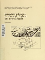
Books about Peterborough
![[Report 1949]](https://covers.openlibrary.org/b/id/11795762-M.jpg)
![[Report 1957]](https://covers.openlibrary.org/b/id/11795765-M.jpg)
![[Report 1960]](https://covers.openlibrary.org/b/id/13390944-M.jpg)
Search results from Open Library.
Recent natural events nearby
Ground air-quality sensors
Recently spotted species
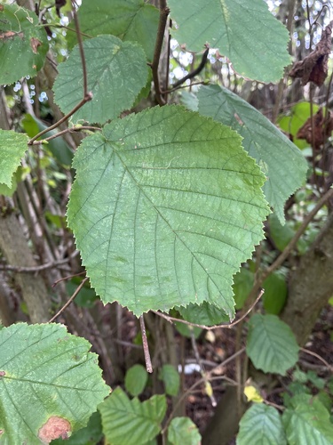
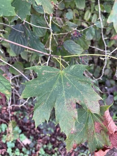
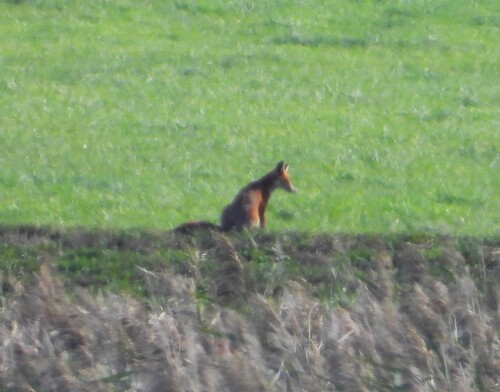
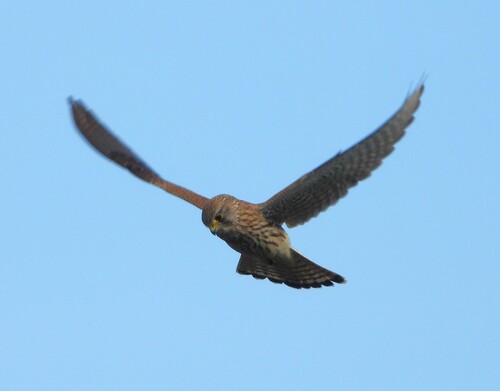
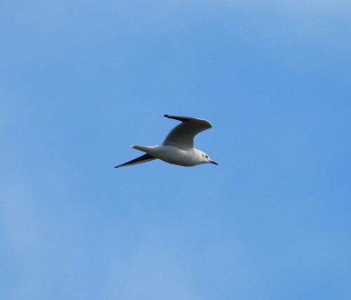
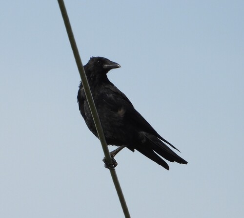
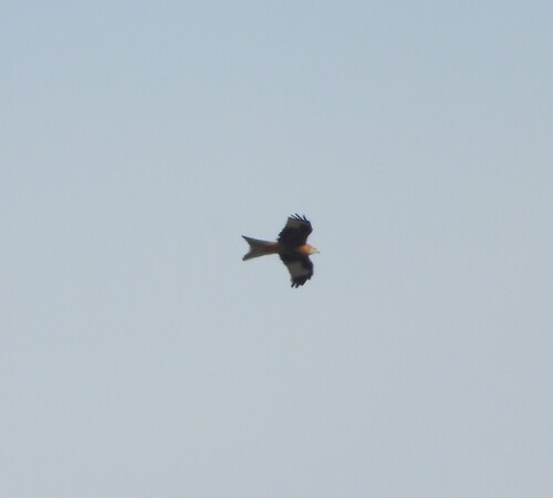
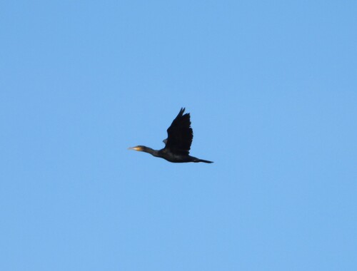
Research-grade observations from iNaturalist (within ~15 mi).
Events
Gallery
Geotagged photos within ~6 miles of Peterborough, from Wikimedia Commons contributors.


.jpg)


_-_geograph.org.uk_-_5027822.jpg)
Photos via Wikimedia Commons — see each image page for license & attribution.
Official Identifiers
ONS — UK Office for National Statistics
- ONS code
- osgb4000000074550599
- Local type
- City
- Region
- Eastern
api.postcodes.io / OS Open Names
Sources
- • Wikipedia
- • Wikimedia Commons
- • Wikidata
- • Open-Meteo Air Quality (CAMS)
- • USGS Earthquake Catalog (global feed)
- • GBIF (Global Biodiversity Information Facility)
- • iNaturalist
- • Open-Elevation
- • Open-Meteo / sunrise-sunset.org
- • Wikipedia Pageviews API
- • Open Library
- • Wikidata SPARQL (CC0) — population, area, elevation, inception, head of government, Commons image
- • ONS / OS Open Names — UK official place gazetteer, via api.postcodes.io (OS code, local type, county/unitary, district/borough, region)
- • ONS — UK Office for National Statistics — api.postcodes.io / OS Open Names