Browse / United Kingdom / Scotland / Peterhead
Peterhead
Scotlandtown

Peterhead
Total population
19,791
Demographic figures from UK Office for National Statistics. Overview below cites Wikipedia and may reference a different year.
City facts
Facts from Wikidata (CC0).
Overview
Peterhead is a town in Aberdeenshire, Scotland. It is the largest settlement in the council area, with a population of 19,791 at the 2022 Census. It is the busiest fishing port in the United Kingdom for total landings by UK vessels, according to a 2019 survey.
Read more on WikipediaHistory & geography
History
Prior to the Reformation, the land on which the town stands, together with a sizeable amount of adjoining country, belonged to Deer Abbey. In 1560, when it was known as Peterugie, or Inverugie of St Peter, it was granted by Mary, Queen of Scots, to Robert Keith, 1st Lord Altrie, a son of William Keith, 4th Earl Marischal. the 4th Earl's nephew and successor, was constructed along the Seagate shore by Henry Middleton, under the supervision of Keith. It was protected to the north by the Old Pier, which was probably erected before 1593. The estate of the Earl Marischal was forfeited in 1716, sold to York Buildings Company, Peterhead Harbour was proving so valuable that in 1738, the Leith shipmasters attested that "the harbour of Peterhead is in our opinion the best situate of any place in Scotland for all ships trading on the north seas". Meanwhile, the enclosed lands of South Bay were being developed into "the beautifully homogeneous district of elegant houses for the accommodation of strangers and sea captains, much of which still survives". Peterhead convict prison was opened in 1888, gaining a reputation as one of Scotland's toughest prisons. The same year, Peterhead was made a head port, its limits extending southward to the mouth of the River Ythan and westward to Powk Burn. is approximately long. The Second Edition Six-Inch Ordnance Survey Map of Peterhead was drawn up when the south breakwater was only partially completed. The extensive harbour works were located near this breakwater, next to the prison. The following statistics show how Peterhead was a thriving port before the First World War: Peterhead was a Jacobite-supporting town in the Jacobite risings of 1715 and 1745. In particular, it was one of the Episcopalian north-eastern ports where…
Excerpted from the corresponding Wikipedia article (CC BY-SA).
Geography
Coordinates & boundaries from the US Census TIGER/Line shapefiles.
Climate
Air quality
Walkability
Amenities nearby
Wildlife & biodiversity
Earthquake history
Photos
Sights & places nearby
Notable people from here
Nearby places in Scotland
Geography & sun
Elevation, sunrise/sunset and daylight from Open-Meteo. Solar climatology from NASA POWER.
Nearby airports
Public attention
Pageview totals from the Wikimedia Pageviews API.
Books about Peterhead
Search results from Open Library.
Recent natural events nearby
Ground air-quality sensors
Recently spotted species
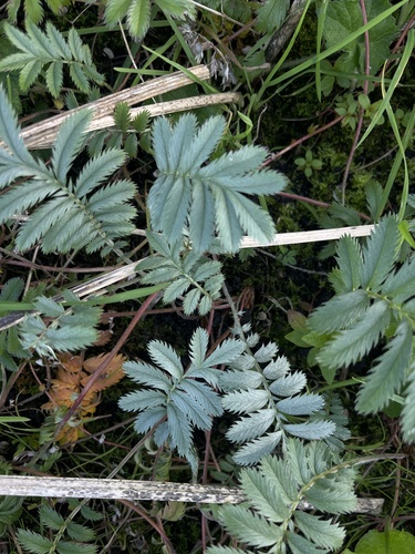

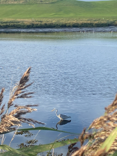

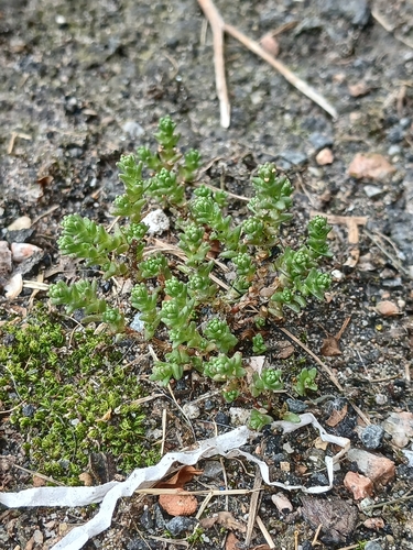
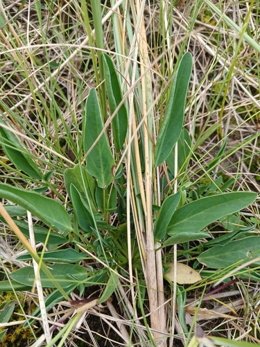
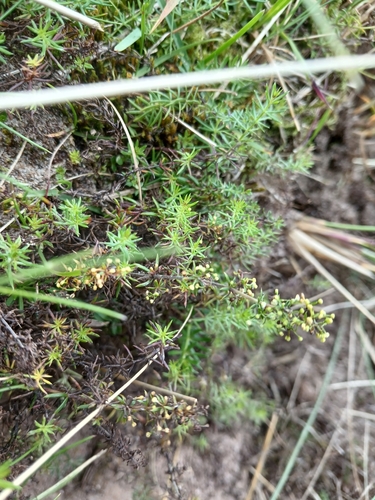


Research-grade observations from iNaturalist (within ~15 mi).
Events
Gallery
Official Identifiers
ONS — UK Office for National Statistics
- ONS code
- osgb4000000074544345
- Local type
- Town
- Region
- Scotland
api.postcodes.io / OS Open Names
Sources
- • Wikipedia
- • Wikidata
- • iNaturalist
- • Open-Meteo / sunrise-sunset.org
- • Wikipedia Pageviews API
- • Open Library
- • Wikidata SPARQL (CC0) — population, area, elevation, inception, head of government, Commons image
- • ONS / OS Open Names — UK official place gazetteer, via api.postcodes.io (OS code, local type, county/unitary, district/borough, region)
- • ONS — UK Office for National Statistics — api.postcodes.io / OS Open Names