Browse / United Kingdom / England / Petersfield
Petersfield
Englandtown

Petersfield
Demographic figures from UK Office for National Statistics. Overview below cites Wikipedia and may reference a different year.
City facts
Sister cities
Facts from Wikidata (CC0).
Overview
Petersfield is a market town and civil parish in the East Hampshire district of Hampshire, England. It is 15 miles (24 km) north of Portsmouth. The town has its own railway station on the Portsmouth Direct line, the mainline rail link connecting Portsmouth and London Waterloo. Situated below the northern slopes of the South Downs, Petersfield lies wholly within the South Downs National Park.
Read more on WikipediaHistory & geography
History
Petersfield Heath's burial mounds may be up to 4,000 years old; their distribution is mainly to the east and south east of the Heath. These are considered to be one of the more important lowland barrow groups in this country. The barrows indicate that the area of the Heath was occupied by people who may have come to regard this area as sacred to their religion. As yet no trace has been confirmed for the dwellings of these people as the structures would have been wooden but Petersfield Museum hosts a community project to throw more light on this period of history. The town was founded during the 12th century by William FitzRobert, 2nd Earl of Gloucester, later chartered by his widow, Hawise de Beaumont, and confirmed by charter in 1198 from "John, Count of Mortain" (later to be King John). In 1415 King Henry V granted the burgesses of Petersfield freedom from toll, stallage, picage, pannage, murage, and pontage throughout the realm of England. All charters are preserved in the archive files at Petersfield Town Council. The town grew in prosperity due to its position on frequently travelled routes, local sheep farming, and cottage industries including leather and cloth. There were weekly markets in the town square for sheep, horse and cattle trading, and two annual fairs, in June (on the feast of St Peter and St Paul) and November (on the feast of St Andrew). An autumn fair which began in the early 19th century was held in October on The Heath, called "The Taro Fair". The town's market square has an 18th-century equestrian statue of King William III by John Cheere. The king is mounted and the statue is on an engraved plinth. It is one of only five statues of William in the United Kingdom outside Northern Ireland (the others being in Glasgow, Brixham, Hull and Bristol)…
Geography
Petersfield is situated in the valley of the Western Rother, on the Lower Greensand at the northern edge of the South Downs. The town lies at the western end of the Greensand Ridge, a sandstone ridge running through Hampshire, Surrey and Kent. The town is surrounded on all sides by farmed countryside, with the South Downs south of the town, the Hampshire Downs to the west, and forested hills (Durford Wood) to the north east. The town is a centre for exploring the South Downs National Park. Close to the town and situated on the South Downs is Queen Elizabeth Country Park, which incorporates Butser Hill (270 metres), and has a variety of scenery including chalk hills, beech woodland and pine forest. The Hangers Way footpath starts from the country park, goes to Buriton, through Petersfield and in to Alton. On the south east side of the town is Petersfield Heath, of heathland including woodland, grassland, a fishing and boating lake, and a picnic and recreation area. Petersfield Heath is a Site of Nature Conservation Interest (SNCI). It also contains 21 Bronze Age barrows which have resulted in the site being given Scheduled Ancient Monument status. Heathland is very rare throughout Europe and Petersfield Heath is a typical heathland mosaic of micro habitats. Across the site are sandy heath and acid heath areas, grassland and scrub which gives the area diverse zones for insects, reptiles, birds and small mammals. Petersfield Heath is at one end of "The Serpent Trail", a walk through heath and downland of Hampshire and West Sussex to Haslemere. Petersfield Cemetery, situated in Ramshill, was opened in 1857.
Excerpted from the corresponding Wikipedia article (CC BY-SA).
Geography
Coordinates & boundaries from the US Census TIGER/Line shapefiles.
Climate
Air quality
Walkability
Amenities nearby
Wildlife & biodiversity
Most-observed species
- Meadow BrownManiola jurtina (Linnaeus, 1758) · Insecta7,887
- Common Wood-PigeonColumba palumbus Linnaeus, 1758 · Aves4,148
- Small WhitePieris rapae (Linnaeus, 1758) · Insecta3,799
- European RobinErithacus rubecula (Linnaeus, 1758) · Aves3,638
- GatekeeperPyronia tithonus (Linnaeus, 1771) · Insecta3,368
- BrimstoneGonepteryx rhamni (Linnaeus, 1758) · Insecta3,311
- Eurasian BlackbirdTurdus merula Linnaeus, 1758 · Aves3,114
- Speckled WoodPararge aegeria (Linnaeus, 1758) · Insecta3,098
Citizen-science & research observations from the Global Biodiversity Information Facility (GBIF).
Earthquake history
Most recent
- M 3.1 — 2020-09-225 km N of Aylesbury, United Kingdom
- M 3.9 — 2020-09-082 km WSW of Pitstone, United Kingdom
- M 3 — 2019-05-197 km ESE of Swanage, United Kingdom
- M 3.3 — 2019-02-273 km SE of Dorking, United Kingdom
- M 2.8 — 2018-07-051 km S of Ewhurst, United Kingdom
- M 2.6 — 2018-06-275 km W of Capel, United Kingdom
Events from the USGS Earthquake Catalog (global) (FDSN Event Web Service).
Photos
Sights & places nearby
Notable people from here


People born within ~10 km, from Wikidata (CC0). Click any name for their Wikipedia article.
Nearby places in England
Geography & sun
Elevation, sunrise/sunset and daylight from Open-Meteo. Solar climatology from NASA POWER.
Nearby airports
Public attention
Pageview totals from the Wikimedia Pageviews API.
Books about Petersfield
![[Report 1963]](https://covers.openlibrary.org/b/id/8134930-M.jpg)
![[Report 1954]](https://covers.openlibrary.org/b/id/8134310-M.jpg)

Search results from Open Library.
Recent natural events nearby
Ground air-quality sensors
Recently spotted species
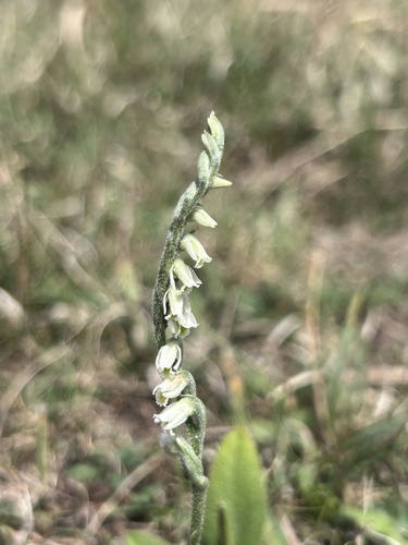
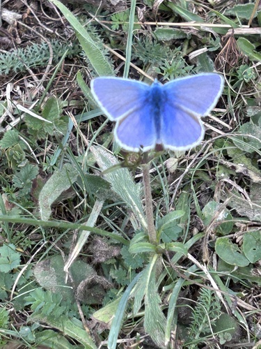
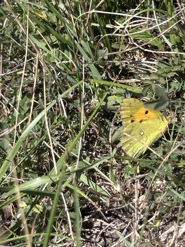
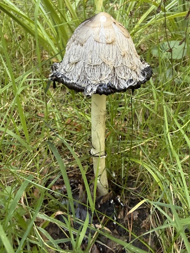
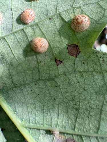
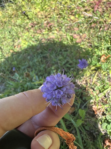
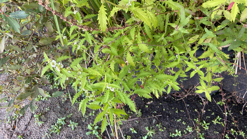
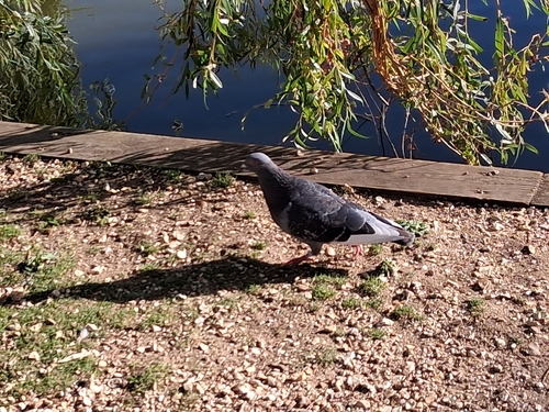
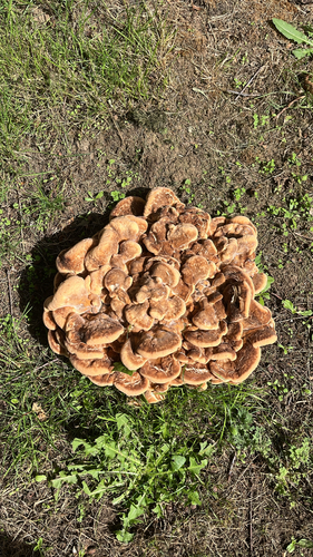
Research-grade observations from iNaturalist (within ~15 mi).
Events
Gallery
Official Identifiers
ONS — UK Office for National Statistics
- ONS code
- osgb4000000074561907
- Local type
- Town
- Region
- South East
api.postcodes.io / OS Open Names
Sources
- • Wikipedia
- • Wikidata
- • USGS Earthquake Catalog (global feed)
- • GBIF (Global Biodiversity Information Facility)
- • iNaturalist
- • Open-Meteo / sunrise-sunset.org
- • Wikipedia Pageviews API
- • Open Library
- • ONS / OS Open Names — UK official place gazetteer, via api.postcodes.io (OS code, local type, county/unitary, district/borough, region)
- • ONS — UK Office for National Statistics — api.postcodes.io / OS Open Names