Browse / United Kingdom / England / Rawmarsh
Rawmarsh
Englandtown

Rawmarsh
Air quality index
Demographic figures from UK Office for National Statistics. Overview below cites Wikipedia and may reference a different year.
City facts
Overview
Rawmarsh is a village in the Metropolitan Borough of Rotherham, in South Yorkshire, England. Historically within the West Riding of Yorkshire, it is 2 miles (3 km) north-northeast from Rotherham town centre and 3 miles (5 km) south-southwest of Swinton. The village also forms part of the Sheffield Urban Area. The Rawmarsh ward of Rotherham MBC had a population of 13,389 at the 2011 Census. Rawmarsh also contains other output areas from neighbouring wards giving it a population of 18,498 in 2011 and 18,535 in 2014.
Read more on WikipediaHistory & geography
History
The name has gone through many changes since being recorded as "Rodemesc" in the Domesday Book and "Raumersche" in 1355. The name is of dual origin, "Rode" is from the Old Norse for "red", while the second element is from Old English mersc "Marsh". This led to "Red Marsh", from its situation in the Permian System of red sandstones and marls which run through the area. Localised clays outcrop and the area was formerly known for its potteries. At the beginning of the 20th century Rawmarsh was described as "an increasing parish" and included the outlying hamlets of Parkgate, Stubbin and Upper Haugh. In 1851 the population was 2,533 but 50 years later this had increased to 14,587. In 1961, the population was 19,700 but, forty years later, at the 2001 census it had reduced to 17,443. Rawmarsh has laid claim to the title of being the largest village in England; however this claim is unsubstantiated and there are indeed many settlements that make this claim. Primarily a residential area, Rawmarsh is known for its church, Rawmarsh St Mary's Parish Church, which dominates the view at the top of Rawmarsh Hill. There has been a church in the town since Norman times (c.1127) but the earliest recorded rector was William de Sutton who was instituted on 6 June 1227. The current church was completed in 1838 when the tower was increased in height and the rest rebuilt, James Pigott Pritchett being the architect. In 1869, the tower began to collapse and was rebuilt incorporating features of the original Norman doorway. In 1894 the sanctuary was enlarged and the vestry, organ chamber and north porch were added. The present sanctuary was repaved in 1977 in memory of Canon Scovell, who is also remembered as a street name in the town; the font is Perpendicular in style and is from the…
Excerpted from the corresponding Wikipedia article (CC BY-SA).
Geography
Coordinates & boundaries from the US Census TIGER/Line shapefiles.
Climate
Air quality
Current readings from Open-Meteo Air Quality API (Copernicus CAMS European reanalysis).
Walkability
Amenities nearby
Wildlife & biodiversity
Most-observed species
- Common Wood-PigeonColumba palumbus Linnaeus, 1758 · Aves17,506
- European RobinErithacus rubecula (Linnaeus, 1758) · Aves15,661
- Eurasian BlackbirdTurdus merula Linnaeus, 1758 · Aves15,650
- Eurasian MagpiePica pica (Linnaeus, 1758) · Aves13,888
- Carrion CrowCorvus corone Linnaeus, 1758 · Aves13,733
- Eurasian Blue TitCyanistes caeruleus (Linnaeus, 1758) · Aves13,625
- MallardAnas platyrhynchos Linnaeus, 1758 · Aves11,578
- European GoldfinchCarduelis carduelis (Linnaeus, 1758) · Aves10,903
Citizen-science & research observations from the Global Biodiversity Information Facility (GBIF).
Earthquake history
Most recent
- M 2.7 — 2023-06-282 km SE of Cheadle, United Kingdom
- M 4.1 — 2018-06-097 km NNE of Withernsea, United Kingdom
- M 2.8 — 2015-09-222 km W of Cottesmore, United Kingdom
- M 3.8 — 2015-01-282 km WSW of Market Overton, United Kingdom
- M 2.6 — 2014-10-282 km NNE of Hucknall, United Kingdom
- M 3.5 — 2014-04-183 km WSW of Market Overton, United Kingdom
Events from the USGS Earthquake Catalog (global) (FDSN Event Web Service).
Photos
Sights & places nearby
Notable people from here
Geography & sun
Elevation, sunrise/sunset and daylight from Open-Meteo. Solar climatology from NASA POWER.
Nearby airports
Public attention
Pageview totals from the Wikimedia Pageviews API.
Books about this place
Recent natural events nearby
Ground air-quality sensors
Recently spotted species
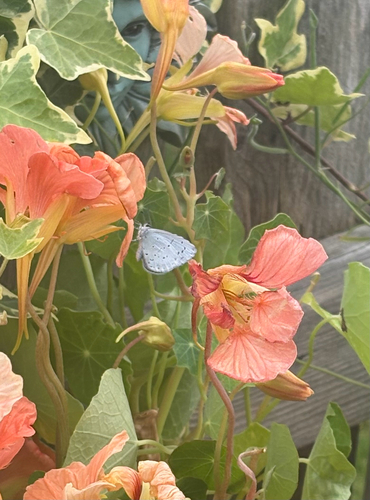
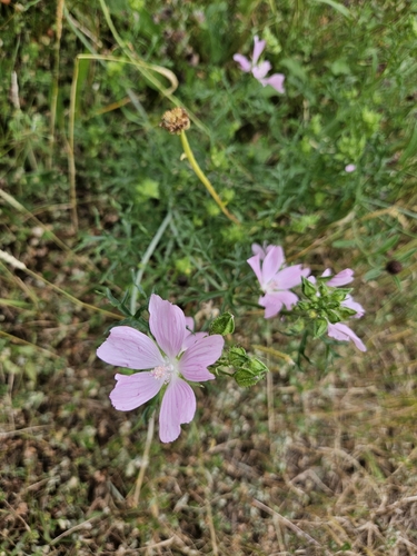
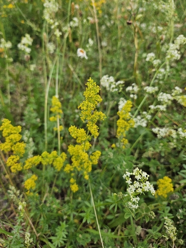
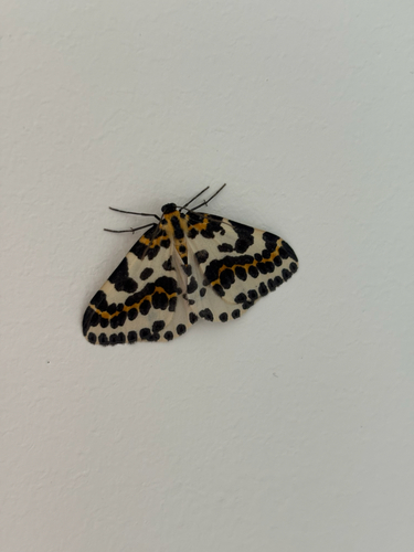

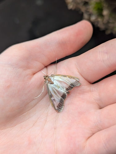
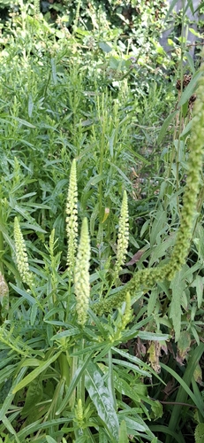
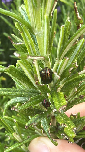
Research-grade observations from iNaturalist (within ~15 mi).
Events
Gallery
Geotagged photos within ~6 miles of Rawmarsh, from Wikimedia Commons contributors.
 0.1 mi
 0.1 mi
 0.1 mi
 0.1 mi
 0.1 mi
 0.1 mi
 0.1 mi
 0.2 mi
 0.2 mi
 0.2 mi
 0.2 mi
 0.2 mi
 0.2 mi
 0.3 mi
 0.3 mi
 0.3 mi
 0.3 mi
 0.3 mi
 0.3 mi
 0.3 mi
 0.3 mi
 0.3 mi
 0.3 mi
 0.3 mi
Photos via Wikimedia Commons — see each image page for license & attribution.
Official Identifiers
ONS — UK Office for National Statistics
- ONS code
- E05001027
- Wikidata
- Q56653564
api.postcodes.io / OS Open Names
Sources
- • Wikipedia
- • Wikimedia Commons
- • Open-Meteo Air Quality (CAMS)
- • USGS Earthquake Catalog (global feed)
- • GBIF (Global Biodiversity Information Facility)
- • iNaturalist
- • Open-Meteo / sunrise-sunset.org
- • Wikipedia Pageviews API
- • ONS / OS Open Names — UK official place gazetteer, via api.postcodes.io (OS code, local type, county/unitary, district/borough, region)
- • ONS — UK Office for National Statistics — api.postcodes.io / OS Open Names