Browse / United Kingdom / England / Royal Leamington Spa
Royal Leamington Spa
Englandtown

Royal Leamington Spa
Demographic figures from UK Office for National Statistics. Overview below cites Wikipedia and may reference a different year.
City facts
Facts from Wikidata (CC0).
Overview
Royal Leamington Spa, commonly known as Leamington Spa or simply Leamington, is a spa town and civil parish in the Warwick district, in Warwickshire, England. Originally a small village called Leamington Priors, it grew into a spa town in the 18th century following the popularisation of its water which was reputed to have medicinal qualities. In the 19th century, the town experienced one of the most rapid expansions in England. It is named after the River Leam, which flows through the town.
Read more on WikipediaHistory & geography
History
Leamington was originally a small village known as Leamington Priors. Its name came from Anglo-Saxon Leman-tūn or Lemen-tūn = "farm on the River Leam". It was first mentioned in the Domesday Book of 1086 as Lamintone. For 400 years, the settlement was under the control of Kenilworth Priory, from which the older suffix derived. Leamington began to develop as a town at the start of the 19th century, due to the rediscovery of spa waters, which had been known in Roman times, and their rediscovery in 1784 by William Abbotts and Benjamin Satchwell led to their commercialisation, with invalids beginning to resort here in 1786. Six of the seven wells were drilled for; only the original spring at the site of the Aylesford Well, adjacent to the Parish Church, occurred naturally. The old village of Leamington Priors was on the southern bank of the River Leam, and early development was based around this. During the early 19th century, developers began concentrating the town's expansion on the land north of the river. This resulted in the Georgian centre of New Town with the Leam flowing between the two. In 1814, the Royal Pump Rooms and Baths were opened on the site, designed by C.S. Smith, who also designed The Regent Hotel and the Upper Assembly Rooms in the town. Spa water can still be sampled outside the building. Leamington became a popular spa resort attracting the wealthy and famous, with numerous Georgian townhouses to accommodate visitors. Construction of what is now the Parade began in sections from 1808, the Regent Hotel in 1818, a town hall in 1830. and the Jephson Gardens in 1834. In 1838 Queen Victoria granted the town a 'Royal' prefix, and 'Leamington Priors' was renamed 'Royal Leamington Spa'. Queen Victoria had visited the town as a Princess in 1830 and as…
Geography
Leamington is divided by the River Leam running east to west, which is susceptible to flooding in extreme weather, with especially heavy floods in 1998 and 2007. The Leam is a tributary of the River Avon, which it joins just to the west of Leamington. The ancient town of Warwick lies adjoined directly to the west of Leamington, on the opposite bank of the Avon, with parts of Warwick (Myton and Heathcote) extending to the southwest and south of Leamington. Also contiguous with Leamington, directly to the south, with no natural border, is the smaller town of Whitnash. Whitnash and Warwick are themselves contiguous with new housing developments within the parish of Bishop's Tachbrook. The village of Cubbington is adjoined to the north-east. Just outside the town lie the villages of Old Milverton to the north and Radford Semele to the east. Leamington has several suburbs; the town has encompassed the former village of Lillington, directly to the north of the town centre. Other suburbs include Milverton to the northwest, Campion Hills to the east, and Sydenham the east. The rapidly expanding Heathcote (or "Warwick Gates") district to the southwest, though often referred to as part of Leamington, actually lies mainly within the boundaries of Warwick, with parts in Whitnash and the parish of Bishop's Tachbrook. The main road running through the town centre is the Parade (called Lillington Lane until 1860). This shopping street contains high street chains and The Royal Priors shopping mall.
Excerpted from the corresponding Wikipedia article (CC BY-SA).
Geography
Coordinates & boundaries from the US Census TIGER/Line shapefiles.
Climate
Air quality
Walkability
Amenities nearby
Wildlife & biodiversity
Earthquake history
Photos
Sights & places nearby
Notable people from here


People born within ~10 km, from Wikidata (CC0). Click any name for their Wikipedia article.
Nearby places in England
Geography & sun
Elevation, sunrise/sunset and daylight from Open-Meteo. Solar climatology from NASA POWER.
Nearby airports
Public attention
Pageview totals from the Wikimedia Pageviews API.
Books about Royal Leamington Spa
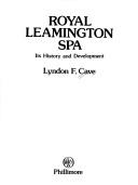


Search results from Open Library.
Recent natural events nearby
Ground air-quality sensors
Recently spotted species
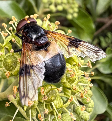
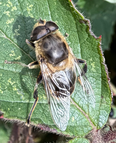
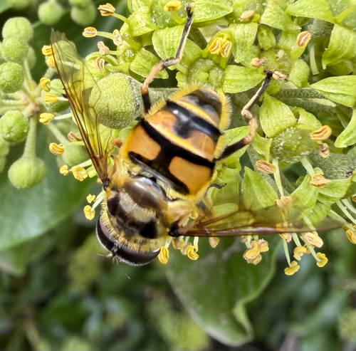
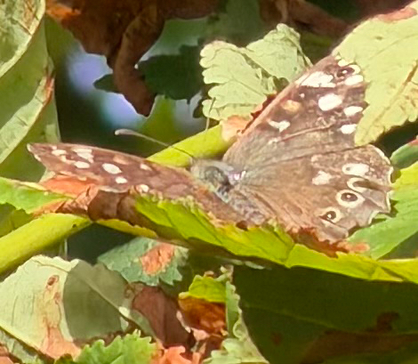
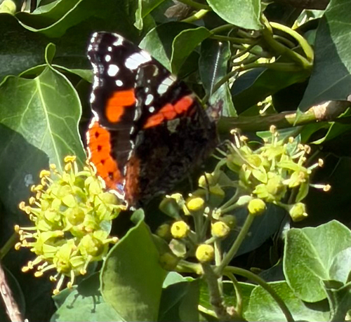
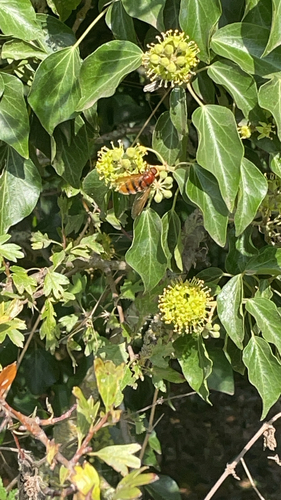
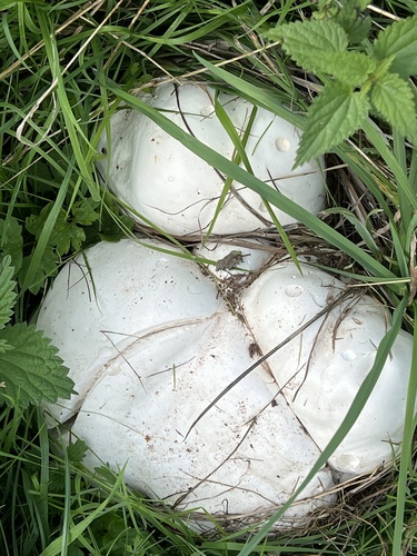
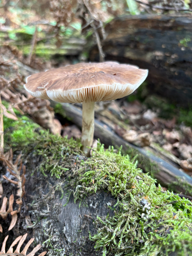
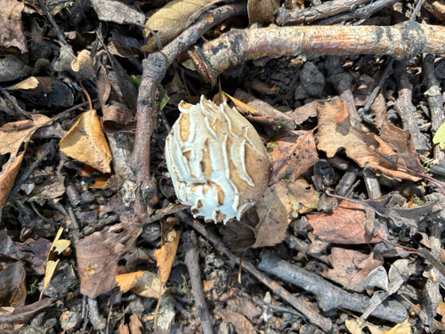
Research-grade observations from iNaturalist (within ~15 mi).
Events
Gallery
Official Identifiers
ONS — UK Office for National Statistics
- ONS code
- osgb4000000074554428
- Local type
- Town
- Region
- West Midlands
api.postcodes.io / OS Open Names
Sources
- • Wikipedia
- • Wikidata
- • iNaturalist
- • Open-Meteo / sunrise-sunset.org
- • Wikipedia Pageviews API
- • Open Library
- • ONS / OS Open Names — UK official place gazetteer, via api.postcodes.io (OS code, local type, county/unitary, district/borough, region)
- • ONS — UK Office for National Statistics — api.postcodes.io / OS Open Names