Browse / United Kingdom / England / Sandy
Sandy
Englandtown

Sandy
Total population
10,887
Demographic figures from UK Office for National Statistics. Overview below cites Wikipedia and may reference a different year.
City facts
Facts from Wikidata (CC0).
Overview
Sandy is a town and civil parish in Central Bedfordshire, England. It lies 8 miles (13 km) to the east of Bedford, 18 miles (29 km) to the south west of Cambridge and 43 miles (69 km) north of Central London. It had a population of 12,171 at the 2021 census.
Read more on WikipediaHistory & geography
History
The Sandy area has a long history of occupation, with evidence found for settlement prior to 250BC. Sandy was a Roman settlement, when it was probably an important trading centre and staging post. An ancient hill fort, now heavily wooded and traditionally known as Caesar's Camp, although more commonly called "the sand hills" or "the lookout", still overlooks the town. Sandy is referred to in the Domesday Book of 1086, as Sandeia, a derivation from the Old English Sandieg, meaning a sand-island. At that time it was part of the ancient hundred of Weneslawe and was held by Eudo Fitzhubert, who is likely to have been the tenant. He was probably also known as Eudo Dapifer, who was a high steward for William the Conqueror, and based in Colchester Castle. There were two mills listed in Sandy in the Domesday Book, which would have been water-powered. One of these mills is likely to have been at Sandy Mill on the River Ivel to the south-west of the town. This was at the end of Mill Lane, adjoining The Riddy, which is now a local nature reserve. There was a water mill on this site from at least the Norman era. The last mill on the site was built in 1857. Milling continued into the twentieth century, with the last mill buildings eventually being demolished in 1977 and replaced with housing. Further down the river from the mill it is believed there was a Danish camp which was built to protect the Danelaw in 886. before Kirby's Quest (1284–86) this half-hundred was merged into the Hundred of Biggleswade. In 1831 the old Weneslawe parishes were listed as Sandy, Sutton, Potton, Hatley, and additionally Everton. Sandy's parish church of St Swithun was largely rebuilt in 1860, but retaining some of the medieval building, including the tower. Sandy remained a village into the…
Geography
Sandy is north of Central London with the county town of Bedford to the west. St Neots, Cambridgeshire lies to the north with Biggleswade to the south. The River Ivel, a tributary of the River Great Ouse, runs through the town. Parts of the town and adjoining land are designated as a Flood Warning Area. The Greensand Ridge, an escarpment which runs through Buckinghamshire, Bedfordshire, and Cambridgeshire, runs to the south and east of the town. The Sandy Heath transmitting station, a television broadcast mast, is located to the east of the town. In addition to the town of Sandy (including Girtford), the parish includes the village of Beeston and the hamlets of Seddington and Stratford.
Excerpted from the corresponding Wikipedia article (CC BY-SA).
Geography
Coordinates & boundaries from the US Census TIGER/Line shapefiles.
Climate
Air quality
Walkability
Amenities nearby
Wildlife & biodiversity
Earthquake history
Photos
Sights & places nearby
Notable people from here


People born within ~10 km, from Wikidata (CC0). Click any name for their Wikipedia article.
Nearby places in England
Geography & sun
Nearby airports
Public attention
Books about this place
Recent natural events nearby
Ground air-quality sensors
Recently spotted species
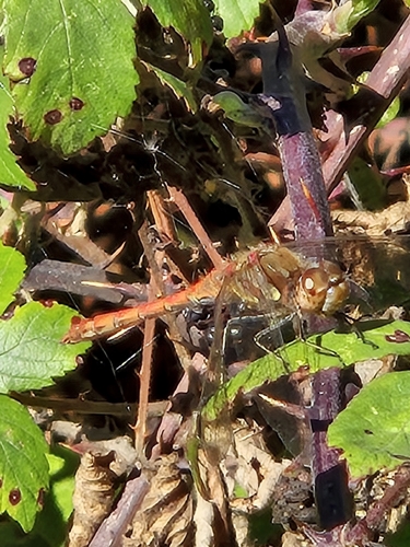
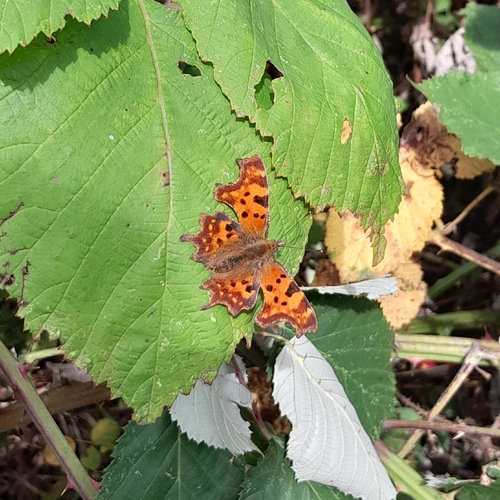


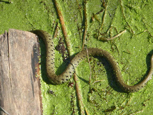

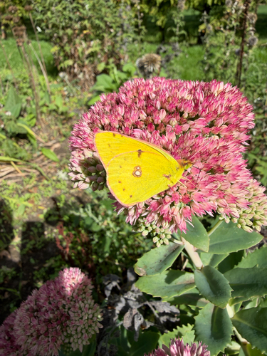

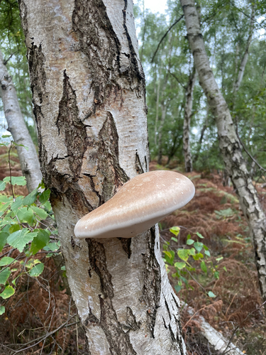
Research-grade observations from iNaturalist (within ~15 mi).
Events
Gallery
Official Identifiers
ONS — UK Office for National Statistics
- ONS code
- osgb4000000074570512
- Local type
- Town
- Region
- Eastern
api.postcodes.io / OS Open Names
Sources
- • Wikipedia
- • Wikidata
- • iNaturalist
- • Wikidata SPARQL (CC0) — population, area, elevation, inception, head of government, Commons image
- • ONS / OS Open Names — UK official place gazetteer, via api.postcodes.io (OS code, local type, county/unitary, district/borough, region)
- • ONS — UK Office for National Statistics — api.postcodes.io / OS Open Names