Browse / United Kingdom / England / Sheerness
Sheerness
Englandtown

Sheerness
Total population
11,654
Demographic figures from UK Office for National Statistics. Overview below cites Wikipedia and may reference a different year.
City facts
Overview
Sheerness is a port town and civil parish beside the mouth of the River Medway on the north-west corner of the Isle of Sheppey in north Kent, England. With a population of 13,249, it is the second largest town on the island after the nearby town of Minster which has a population of 16,738.
Read more on WikipediaHistory & geography
History
The first structure in what is now Sheerness was a fort built by order of Henry VIII to prevent enemy ships from entering the River Medway and attacking the naval dockyard at Chatham. In 1666 work began to replace it with a stronger fort. However, before its completion, this second fort was destroyed in 1667 by the Dutch Naval Fleet in their capture of the town, as part of what would be known as the raid on the Medway. The grey-blue naval paint they used on the exteriors led to their homes becoming known as the Blue Houses. This was eventually corrupted to Blue Town (which is now the name of the north-west area of Sheerness lying just beyond the current dockyard perimeter). The modern town of Sheerness has its origins in Mile Town, which was established later in the 18th century at a mile's distance from the dockyard (Blue Town having by then filled the space available). In 1797, discontented sailors in the Royal Navy mutinied just off the coast of Sheerness. By 1801 the population of the Minster-in-Sheppey parish, which included both Sheerness and the neighbouring town of Minster, reached 5,561. In 1816, one of the UK's first co-operative societies was started in Sheerness, chiefly to serve the dockyard workers and their families. The Sheerness Economical Society began as a co-operative bakery but expanded to produce and sell a range of goods. By the middle of the 20th century, the society had spread across the Isle of Sheppey and had been renamed the Sheerness and District Cooperative Society. The rebuilt Dockyard contained many groundbreaking new buildings and structures; for example, completed in 1860 and still standing today, the Sheerness Boat Store was the world's first multi-storey building with a rigid metal frame. In 1863, mains water was installed in the…
Geography
Sheerness is in the north-west corner of the Isle of Sheppey in North Kent. To the north, sandy beaches run along the coast of the Thames Estuary. To the west, the outlet of the River Medway flows into the Estuary. An area of wetlands known as The Lappel lies between the river and the south-western part of town. Marshland lies to the south and the east. The main rock type of the Isle of Sheppey is London Clay, which covers most of North Kent. Along with most of the Kent coast, the uninhabited coastal areas of the island have been designated Sites of Special Scientific Interest, due to their wildlife and geological features. The nearest towns to Sheerness are Minster, to the east, and Queenborough, two miles (3.2 km) to the south. The villages of Minster-on-Sea and Halfway Houses are to the south-east, and the village of Grain is to the west, across the River Medway. The main commercial and leisure areas of the town dominate the north coast, where there is easy access to the pleasure beach. The industrial areas are in the west, beside the wetlands and the River Medway. The Bluetown industrial area and the Port of Sheerness are in the north-western part of the town. The residential districts of Mile Town and Marine Town are in the central and the eastern areas respectively. The mean annual temperature in Sheerness is . The average annual maximum temperature is , and the average annual minimum temperature is . The warmest time of the year is July and August, when maximum temperatures average . The coolest time of the year is January and February, when minimum temperatures average . The average annual rainfall in Sheerness is . The average annual duration of sunshine is 1,700 hours; the months May to August have the most hours of sunshine. On average,…
Excerpted from the corresponding Wikipedia article (CC BY-SA).
Geography
Coordinates & boundaries from the US Census TIGER/Line shapefiles.
Climate
Air quality
Walkability
Amenities nearby
Wildlife & biodiversity
Earthquake history
Photos
Sights & places nearby
Notable people from here


People born within ~10 km, from Wikidata (CC0). Click any name for their Wikipedia article.
Nearby places in England
Geography & sun
Elevation, sunrise/sunset and daylight from Open-Meteo. Solar climatology from NASA POWER.
Nearby airports
Public attention
Pageview totals from the Wikimedia Pageviews API.
Books about Sheerness




![The history of England from the accession of James the Second [2/5]](https://covers.openlibrary.org/b/id/14851685-M.jpg)
Search results from Open Library.
Recent natural events nearby
Ground air-quality sensors
Recently spotted species
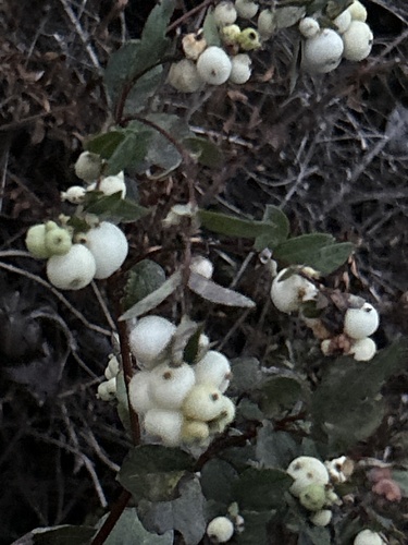
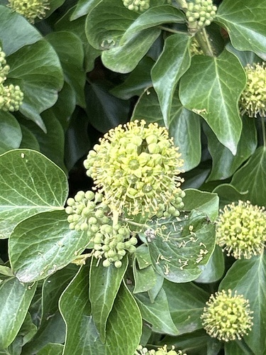
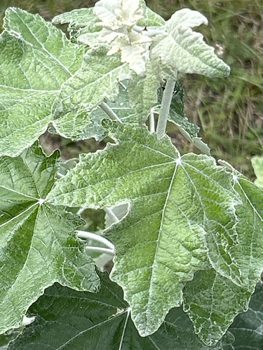

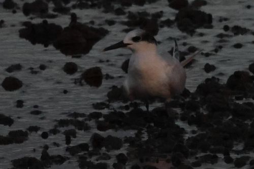
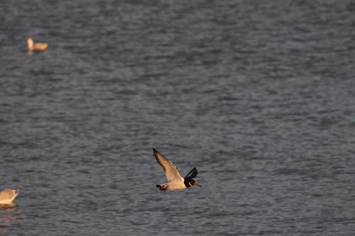
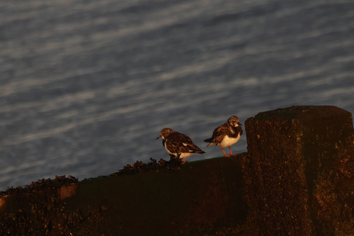
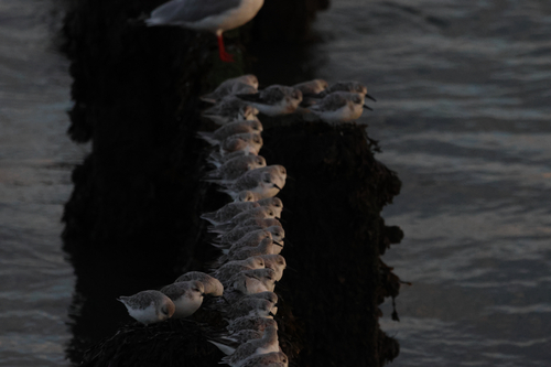
Research-grade observations from iNaturalist (within ~15 mi).
Events
Gallery
Official Identifiers
ONS — UK Office for National Statistics
- ONS code
- osgb4000000074546343
- Local type
- Town
- Region
- South East
api.postcodes.io / OS Open Names
Sources
- • Wikipedia
- • Wikidata
- • iNaturalist
- • Open-Meteo / sunrise-sunset.org
- • Wikipedia Pageviews API
- • Open Library
- • Wikidata SPARQL (CC0) — population, area, elevation, inception, head of government, Commons image
- • ONS / OS Open Names — UK official place gazetteer, via api.postcodes.io (OS code, local type, county/unitary, district/borough, region)
- • ONS — UK Office for National Statistics — api.postcodes.io / OS Open Names