Browse / United Kingdom / England / Sherburn in Elmet
Sherburn in Elmet
Englandtown

Sherburn in Elmet
Demographic figures from UK Office for National Statistics. Overview below cites Wikipedia and may reference a different year.
City facts
Facts from Wikidata (CC0).
Overview
Sherburn in Elmet is a town and civil parish in the district and county of North Yorkshire, England. It is to the west of Selby and south of Tadcaster.
Read more on WikipediaHistory & geography
History
The name derives from Old English "scir" (bright, pure) and "burn" (bourne, stream, spring). The earliest record of the name ('Scyreburnan') dates from 963. Elmet refers to a little-understood post-Roman, Brittonic (non-Anglo-Saxon) kingdom in the area around what is now the Leeds conurbation, the precise boundaries of which are not known, but are thought to have been located at bodies of water, such as the Ouse, Aire and Wharfe rivers. Sherburn is situated on a low hill of Permian limestone jutting out into the valley of the River Ouse, so the name may refer to the clarity of the water on the hill compared with the muddy streams on the alluvial plain below. This limestone ridge is still an important source of clear water, for example for the brewing industry at Tadcaster six miles to the north. The Roman road connecting Castleford with Tadcaster and York ran along this ridge, and the current Low Street/Finkle Hill north–south route through the town marks its line, but little evidence of Roman settlement has been found. An earthwork adjoining All Saints' Church is the site of Hall Garth, sometimes erroneously called 'Athelstan's Palace', a high-status dwelling given (along with the manor of Cawood) by King Athelstan to the Archbishops of York to mark his victory over the combined Scots/Norse forces at Brunanburh in 937. Hall Garth cannot be dated back with certainty to the Kingdom of Elmet prior to its absorption into the Anglo-Saxon kingdom of Northumbria in 616/7 (see Wikipedia entry for Elmet) and may have been an Anglo-Saxon rather than a Brittonic foundation. The existing church, a Grade I listed building, contains features dating from c.1120: "C12 nave and north aisle, C13 chancel with C14 south aisle and extension to north aisle, C15 south aisle chapel, and…
Excerpted from the corresponding Wikipedia article (CC BY-SA).
Geography
Coordinates & boundaries from the US Census TIGER/Line shapefiles.
Climate
Air quality
Walkability
Amenities nearby
Wildlife & biodiversity
Most-observed species
- Common Wood-PigeonColumba palumbus Linnaeus, 1758 · Aves13,609
- Carrion CrowCorvus corone Linnaeus, 1758 · Aves11,209
- Eurasian MagpiePica pica (Linnaeus, 1758) · Aves11,065
- Eurasian BlackbirdTurdus merula Linnaeus, 1758 · Aves10,356
- MallardAnas platyrhynchos Linnaeus, 1758 · Aves10,144
- Black-headed GullChroicocephalus ridibundus (Linnaeus, 1766) · Aves10,020
- European RobinErithacus rubecula (Linnaeus, 1758) · Aves9,419
- Mute SwanCygnus olor (J.F.Gmelin, 1789) · Aves9,075
Citizen-science & research observations from the Global Biodiversity Information Facility (GBIF).
Earthquake history
Most recent
- M 2.8 — 2020-01-231 km NW of Stockton-on-Tees, United Kingdom
- M 4.1 — 2018-06-097 km NNE of Withernsea, United Kingdom
- M 2.6 — 2014-10-282 km NNE of Hucknall, United Kingdom
- M 3.6 — 2011-01-035 km S of Masham, United Kingdom
- M 3 — 2009-04-115 km ENE of Goxhill, United Kingdom
- M 3.1 — 2008-04-053 km SSE of Middle Rasen, United Kingdom
Events from the USGS Earthquake Catalog (global) (FDSN Event Web Service).
Photos
Sights & places nearby
Notable people from here
Geography & sun
Elevation, sunrise/sunset and daylight from Open-Meteo. Solar climatology from NASA POWER.
Nearby airports
Public attention
Pageview totals from the Wikimedia Pageviews API.
Books about Sherburn in Elmet
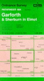
Search results from Open Library.
Recent natural events nearby
Ground air-quality sensors
Recently spotted species
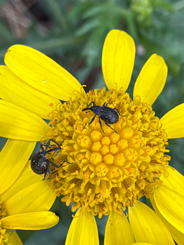
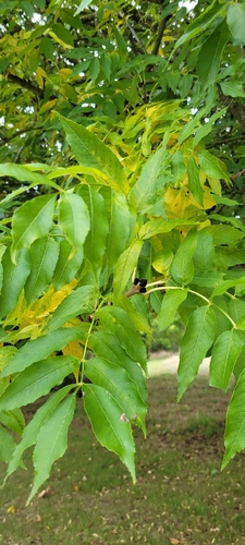
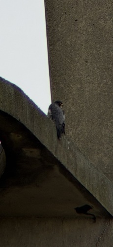
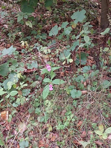
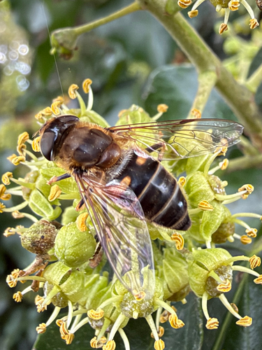
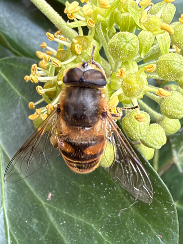
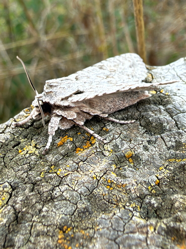
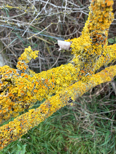
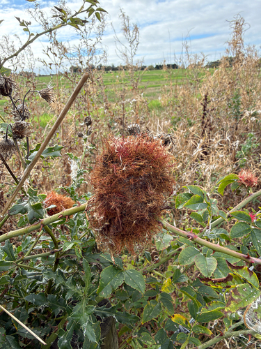
Research-grade observations from iNaturalist (within ~15 mi).
Events
Gallery
Official Identifiers
ONS — UK Office for National Statistics
- ONS code
- osgb4000000074543287
- Local type
- Village
- Region
- Yorkshire and the Humber
api.postcodes.io / OS Open Names
Sources
- • Wikipedia
- • Wikidata
- • USGS Earthquake Catalog (global feed)
- • GBIF (Global Biodiversity Information Facility)
- • iNaturalist
- • Open-Meteo / sunrise-sunset.org
- • Wikipedia Pageviews API
- • Open Library
- • ONS / OS Open Names — UK official place gazetteer, via api.postcodes.io (OS code, local type, county/unitary, district/borough, region)
- • ONS — UK Office for National Statistics — api.postcodes.io / OS Open Names