Browse / United Kingdom / England / Shifnal
Shifnal
Englandtown

Shifnal
Total population
7,009
Demographic figures from UK Office for National Statistics. Overview below cites Wikipedia and may reference a different year.
City facts
Facts from Wikidata (CC0).
Overview
Shifnal is a market town and civil parish in Shropshire, England, about 4 miles (6 km) east of Telford, 17 miles (27 km) east of Shrewsbury and 13 miles (20 km) west-northwest of Wolverhampton. It is near the M54 motorway and A5 road aka Watling Street. At the 2001 census, it had a population of 6,391, increasing to 6,776 at the 2011 census.
Read more on WikipediaHistory & geography
History
The town most probably began as an Anglian settlement, established by the end of the 7th century. The oldest part of the town is said to be the area around St Andrew's Church, Church Street and Innage Road where excavations have turned up evidence of ancient buildings. The village, as it would have been in 1086, is recorded in the Domesday Book within the hundred of Alnodestreu. The initial part of the entry states: Robert, son of Theobald, holds of Earl Roger Iteshale. Earl Morcar held it." This entry records that possession was lost by the Saxon Earl Morcar when he rebelled against the Norman conquerors. The church of St Andrew has a Norman chancel and was almost certainly built on the site of an earlier church. It was a collegiate church or minster with a chapter of priests ministering to the needs of congregations in outlying settlements. St Andrew's lost its collegiate status when it was given to Shrewsbury Abbey c. 1087. In 1245 Walter de Dunstanville, the Crusader and lord of the manor, applied to King Henry III for, and was granted, a market charter for the town. Walter then laid out a broad market street that is Broadway, Bradford Street, Market Place and Park Street for the markets. This area to the east of the stream was known as Shifnal and gradually this name superseded Idsall as the town's name. Just outside of Shifnal are the Caynton Caves, a system carved into the sandstone. Local legend has them made by followers of the Knights Templar 700 years ago, although Historic England – the government body responsible for historic monuments – believes the caves were probably excavated in the late 18th or early 19th Century. Shifnal had something of an early industrial revolution during the late 16th century with the construction of a charcoal fired blast…
Excerpted from the corresponding Wikipedia article (CC BY-SA).
Geography
Coordinates & boundaries from the US Census TIGER/Line shapefiles.
Climate
Air quality
Walkability
Amenities nearby
Wildlife & biodiversity
Earthquake history
Photos
Sights & places nearby
Notable people from here


People born within ~10 km, from Wikidata (CC0). Click any name for their Wikipedia article.
Geography & sun
Elevation, sunrise/sunset and daylight from Open-Meteo. Solar climatology from NASA POWER.
Nearby airports
Public attention
Pageview totals from the Wikimedia Pageviews API.
Books about Shifnal

![[Report 1925]](https://covers.openlibrary.org/b/id/13379810-M.jpg)
Search results from Open Library.
Recent natural events nearby
Ground air-quality sensors
Recently spotted species
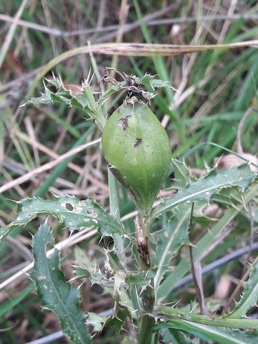
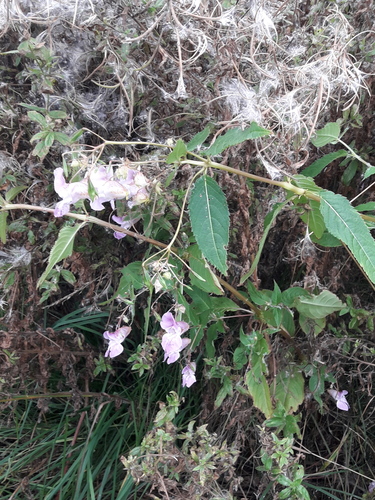
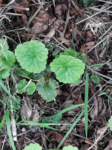
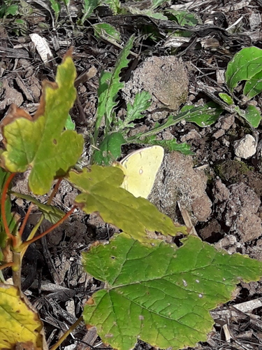
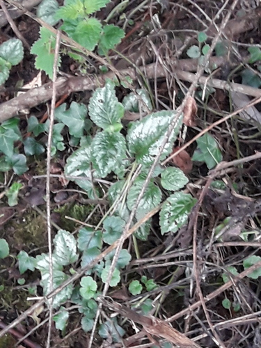
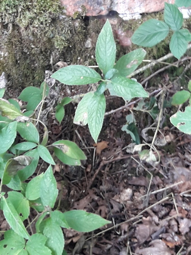
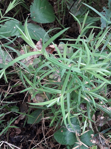

Research-grade observations from iNaturalist (within ~15 mi).
Events
Gallery
Official Identifiers
ONS — UK Office for National Statistics
- ONS code
- osgb4000000074560602
- Local type
- Village
- Region
- West Midlands
api.postcodes.io / OS Open Names
Sources
- • Wikipedia
- • Wikidata
- • iNaturalist
- • Open-Meteo / sunrise-sunset.org
- • Wikipedia Pageviews API
- • Open Library
- • ONS / OS Open Names — UK official place gazetteer, via api.postcodes.io (OS code, local type, county/unitary, district/borough, region)
- • ONS — UK Office for National Statistics — api.postcodes.io / OS Open Names