Browse / United Kingdom / England / Skipton
Skipton
Englandtown

Skipton
Demographic figures from UK Office for National Statistics. Overview below cites Wikipedia and may reference a different year.
City facts
Sister cities
Facts from Wikidata (CC0).
Overview
Skipton is a market town and civil parish in the modern ceremonial county of North Yorkshire, England. Historically located in the East Division of Staincliffe Wapentake of the West Riding of Yorkshire, Skipton lies generally south of the Yorkshire Dales and is situated on both the River Aire and the Leeds and Liverpool Canal. The town is located 27 miles (43 km) north-west of Leeds and 38 miles (61 km) west of York. In the 2021 Census, the population was recorded as being 15,042. The town has been listed as one of the best and happiest places to live in the UK.
Read more on WikipediaHistory & geography
History
Evidence for prehistoric habitation in the Skipton area includes an "important outlying group" of cup and ring marked rocks on Skipton Moor, to the south-east of the town, and in the same area there is an enclosed Iron Age hilltop settlement. Skipton is recorded in the Domesday Book of 1086. The town was important during the English Civil War, and was the site of prisoner-of-war camps during the First and Second World Wars. Skipton Castle was built in 1090 as a wooden motte-and-bailey by Robert de Romille, a Norman baron. In the 12th century William le Gros strengthened it with a stone keep to repel attacks from the Kingdom of Scotland to the north, the castle elevated Skipton from a poor dependent village to a burgh administered by a reeve. The protection offered by Skipton Castle during the Middle Ages encouraged the urbanisation of the surrounding area, and during times of war and disorder the town attracted an influx of families. It is now one of the most complete and best preserved medieval castles in England and is open to the public. One of the oldest mills in North Yorkshire, High Corn Mill, is powered by the waters of Eller Beck. The mill dates to 1310 when it was owned by Robert de Clifford, 1st Baron de Clifford; at that point it was transferred to the powerful Clifford family by the then King Edward II. Skipton became a prosperous market town, trading sheep and woollen goods. A market stemming from its formative years still survives. In the 19th century, Skipton emerged as a small mill town connected to the major cities by the Leeds and Liverpool Canal and its branch Thanet Canal, (known locally as 'Springs branch canal'). During the 20th century Skipton's economy shifted to tourism, aided by its historic architecture and proximity to the Yorkshire…
Excerpted from the corresponding Wikipedia article (CC BY-SA).
Geography
Coordinates & boundaries from the US Census TIGER/Line shapefiles.
Climate
Air quality
Walkability
Amenities nearby
Wildlife & biodiversity
Earthquake history
Photos
Sights & places nearby
Notable people from here


People born within ~10 km, from Wikidata (CC0). Click any name for their Wikipedia article.
Geography & sun
Elevation, sunrise/sunset and daylight from Open-Meteo. Solar climatology from NASA POWER.
Nearby airports
Public attention
Pageview totals from the Wikimedia Pageviews API.
Books about Skipton


Search results from Open Library.
Recent natural events nearby
Ground air-quality sensors
Recently spotted species
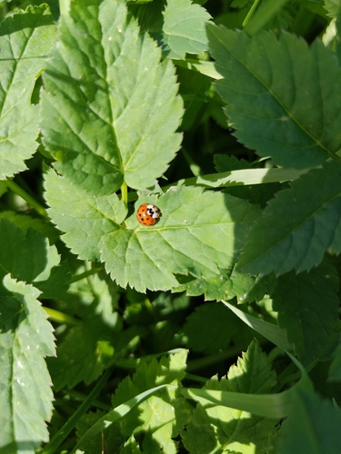
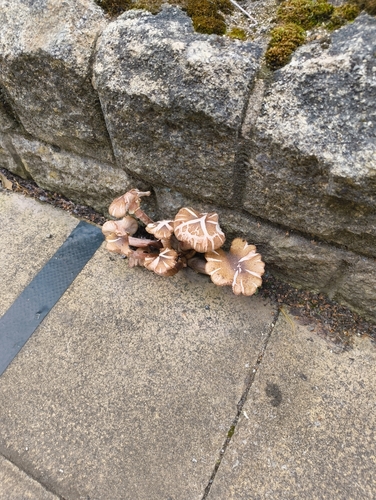
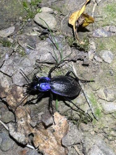
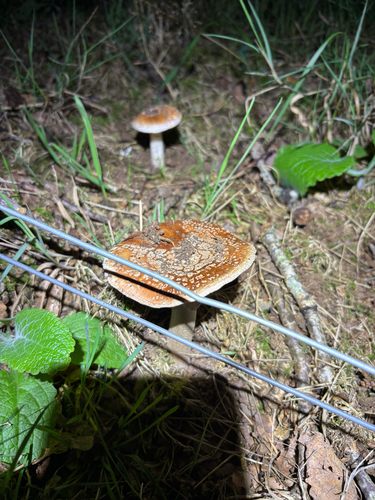
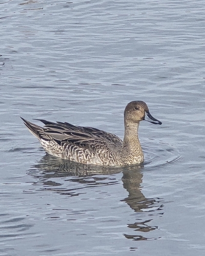
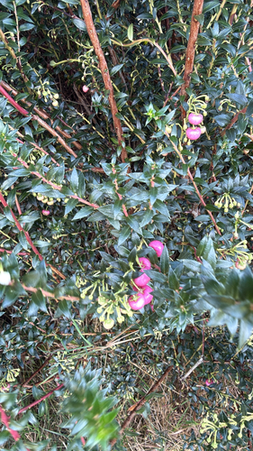
Research-grade observations from iNaturalist (within ~15 mi).
Events
Gallery
Official Identifiers
ONS — UK Office for National Statistics
- ONS code
- osgb4000000074567289
- Local type
- Town
- Region
- Yorkshire and the Humber
api.postcodes.io / OS Open Names
Sources
- • Wikipedia
- • Wikidata
- • iNaturalist
- • Open-Meteo / sunrise-sunset.org
- • Wikipedia Pageviews API
- • Open Library
- • ONS / OS Open Names — UK official place gazetteer, via api.postcodes.io (OS code, local type, county/unitary, district/borough, region)
- • ONS — UK Office for National Statistics — api.postcodes.io / OS Open Names