Browse / United Kingdom / England / Spilsby
Spilsby
Englandtown

Spilsby
Total population
3,677
Demographic figures from UK Office for National Statistics. Overview below cites Wikipedia and may reference a different year.
City facts
Sister cities
Facts from Wikidata (CC0).
Overview
Spilsby is a market town and civil parish in the East Lindsey district of Lincolnshire, England. The town is adjacent to the main A16, 33 miles (53 km) east of Lincoln, 17 miles (27 km) north-east of Boston and 13 miles (21 km) north-west of Skegness. It lies at the southern edge of the Lincolnshire Wolds and north of the Fenlands.
Read more on WikipediaHistory & geography
History
The area has been occupied by humans since prehistoric times. Evidence for this can be found at nearby West Keal, where an Iron Age hill fort and defensive terraced earthworks were built at the tip of the Wolds promontory, overlooking the present town. The Spilsby area was visited and occupied by the Romans during the 1st century and held by them until the 4th century AD. During the 1960s, an archaeological dig and field walk at nearby Keal Cotes, in a large field south of the village (where the A16 meets Hagnaby Lane), discovered tessellated mosaic floor tiles and roof tiles. These indicated that a substantial Roman villa or high-status Romano-British farmhouse once stood on the site. The recorded finds from the site are stored at the Museum of Lincolnshire Life in Lincoln, Lincolnshire. In 1849 six Roman funeral urns were dug up in nearby Fulletby. Spilsby was probably named before or no later than the 9th-century period of Danish rule, which had extended for centuries. It derives from the term Spila's-by, where by is old Old Norse for "place of dwelling". Hence, it meant "Spila's village", Spila (pronounced "Spiller") having been the local Viking warlord or chieftain, who acted as head of the immediate area. The town was recorded in the Domesday Book of 1086 as "Spilesbei". In 1082 it was not much more than a large farmstead and a few surrounding crofts under the squireship of the Bishop of Durham. In 1255 a charter was granted to a John de Beke (or John Beck) to hold a weekly market in Spilsby each Monday and a three-day annual fair in July. Four years later, in 1259, the same John de Beke was granted a further charter to hold a three-day Christmas fair from 5–8 December. The next recorded charter to hold a weekly Monday market in the town and an annual fair in…
Geography
The town is situated upon slightly elevated ground at the southwestern rim of the Lincolnshire Wolds. Spilsby has an extensive south-east view of a tract of marsh and fen land, bounded by Boston Deeps and the North Sea. It is within inland from Skegness. The Wolds comprise a series of low hills and steep valleys, underlain by calcareous chalk, green limestone and sandstone rock, laid down in the Cretaceous period under a shallow warm sea. The characteristic open valleys of the Wolds were created during the last ice age through the action of glaciation and meltwater. Geographically, the Lincolnshire Wolds are a continuation of the Yorkshire Wolds, which run up through the East Riding of Yorkshire. The Wolds as a whole were bisected by the erosion of the waters of the River Humber. The fenlands, which stretch down as far as Norfolk, are former wetlands, consisting both of peat bogs and tidal silt marshes. They were nearly all drained by the end of the 19th century, when Spilsby had its longest period of Victorian expansion. The drainage was organised into river drainage, the passing of upland water through the region, and internal drainage of the land between the rivers. The internal drainage was designed to be organised by levels or districts, each of which includes the fen parts of one or several parishes. Spilsby falls within the Witham Fourth District: East, West and Wildmore Fens; and the Townland, from Boston to Wainfleet.
Excerpted from the corresponding Wikipedia article (CC BY-SA).
Geography
Coordinates & boundaries from the US Census TIGER/Line shapefiles.
Climate
Air quality
Walkability
Amenities nearby
Wildlife & biodiversity
Earthquake history
Photos
Sights & places nearby
Notable people from here
Nearby places in England
Geography & sun
Elevation, sunrise/sunset and daylight from Open-Meteo. Solar climatology from NASA POWER.
Nearby airports
Public attention
Pageview totals from the Wikimedia Pageviews API.
Books about Spilsby
![[Report 1957]](https://covers.openlibrary.org/b/id/11796315-M.jpg)
Search results from Open Library.
Recent natural events nearby
Ground air-quality sensors
Recently spotted species
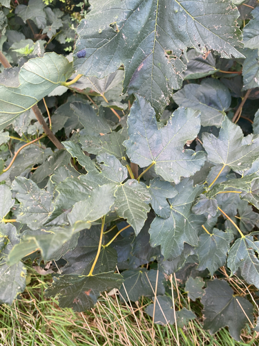
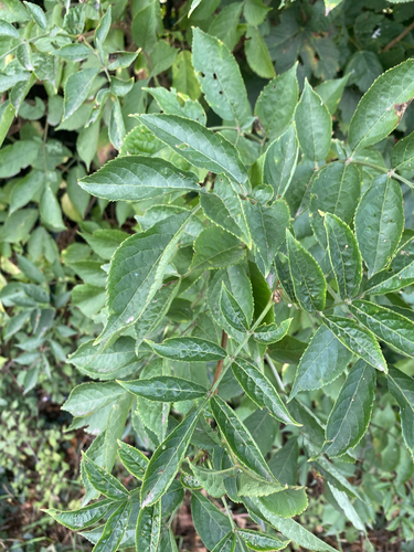
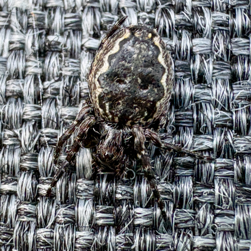
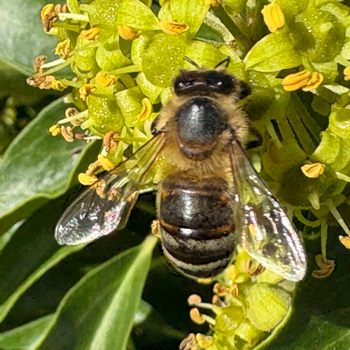
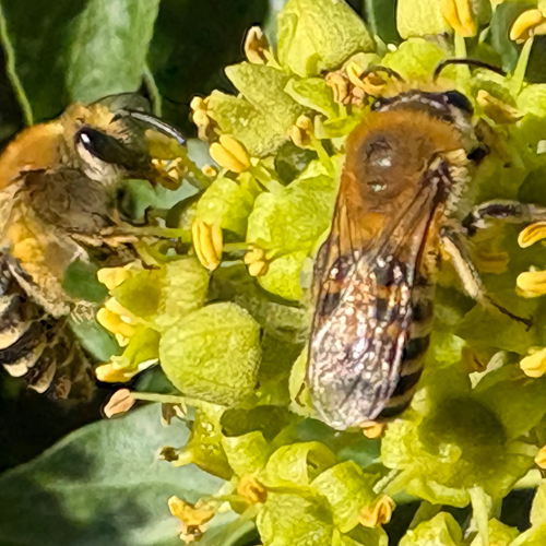
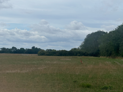
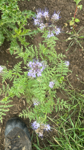
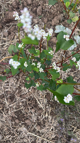
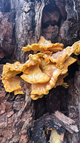
Research-grade observations from iNaturalist (within ~15 mi).
Events
Gallery
Official Identifiers
ONS — UK Office for National Statistics
- ONS code
- osgb4000000074553986
- Local type
- Town
- Region
- East Midlands
api.postcodes.io / OS Open Names
Sources
- • Wikipedia
- • Wikidata
- • iNaturalist
- • Open-Meteo / sunrise-sunset.org
- • Wikipedia Pageviews API
- • Open Library
- • ONS / OS Open Names — UK official place gazetteer, via api.postcodes.io (OS code, local type, county/unitary, district/borough, region)
- • ONS — UK Office for National Statistics — api.postcodes.io / OS Open Names