Browse / United Kingdom / Scotland / St Andrews
St Andrews
Scotlandtown

St Andrews
Total population
16,460
Demographic figures from UK Office for National Statistics. Overview below cites Wikipedia and may reference a different year.
City facts
Sister cities
Facts from Wikidata (CC0).
Overview
St Andrews is a coastal university town on the east coast of Fife in Scotland, 10 miles southeast of Dundee and 30 miles northeast of Edinburgh. St Andrews had a population of 16,460 in 2022, making it Fife's fourth-largest settlement and the 45th most populous settlement in Scotland.
Read more on WikipediaHistory & geography
History
The first inhabitants who settled on the estuary fringes of the rivers Tay and Eden during the Mesolithic (Middle Stone Age) came from the plains in Northern Europe between 10,000 and 5,000 BCE. This was followed by the nomadic people who settled around the modern town around 4,500 BCE as farmers clearing the area of woodland and building monuments. In AD 877, King Causantín mac Cináeda (Constantine I) built a new church for the Culdees at St Andrews. In AD 906, the town became the seat of the bishop of Alba, with the boundaries of the see being extended to include land between the River Forth and River Tweed. In 943 Constantine II abdicated and took the position of abbot of the monastery of St Andrews. Construction of the present town began around 1140 under Bishop Robert, on an L-shaped hill, possibly on the site of the ruined St Andrews Castle. According to a charter of 1170, the new burgh was built to the west of the cathedral precinct, along Castle Street and possibly as far as what is now known as North Street. The burgh of St Andrews was first represented at the great council at Scone Palace in 1357. Recognised as the ecclesiastical capital of Scotland, the town now had vast economic and political influence within Europe as a cosmopolitan town. The Scottish Parliament met in the town in 1304, when King Edward I, in his capacity as overlord of Scotland, came to be received by Bishop William de Lamberton. As many as 130 landowners turned up to witness the event ranging from Sir John of Cambo to Sir William Murray of Fort. In 1559, the town fell into decay after the violent Scottish Reformation and the Wars of the Three Kingdoms losing the status of ecclesiastical capital of Scotland. Even the University of St Andrews was considering relocating to Perth around…
Excerpted from the corresponding Wikipedia article (CC BY-SA).
Geography
Coordinates & boundaries from the US Census TIGER/Line shapefiles.
Climate
Air quality
Walkability
Amenities nearby
Wildlife & biodiversity
Earthquake history
Photos
Sights & places nearby
Notable people from here


People born within ~10 km, from Wikidata (CC0). Click any name for their Wikipedia article.
Nearby places in Scotland
Geography & sun
Elevation, sunrise/sunset and daylight from Open-Meteo. Solar climatology from NASA POWER.
Nearby airports
Public attention
Pageview totals from the Wikimedia Pageviews API.
Books about St Andrews

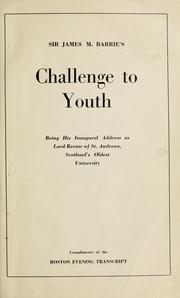

Search results from Open Library.
Recent natural events nearby
Ground air-quality sensors
Recently spotted species
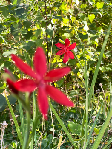
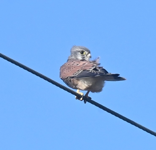
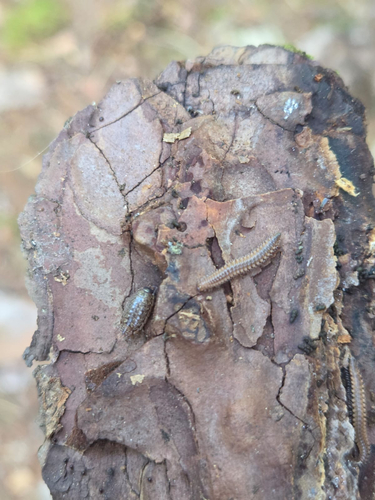
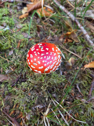
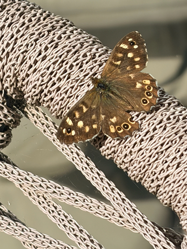
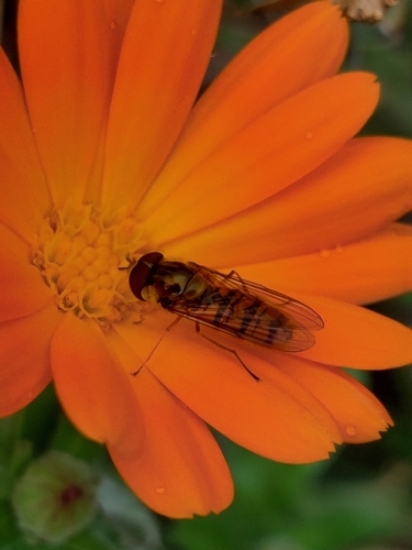
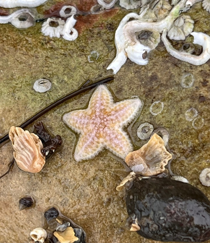
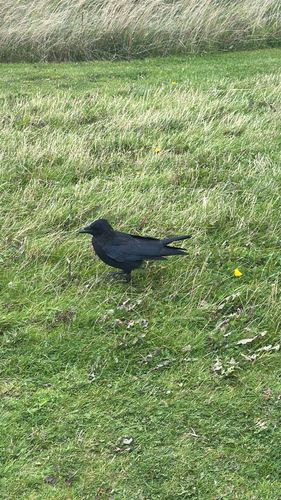
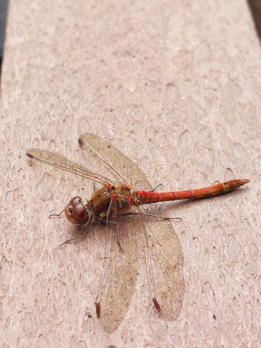
Research-grade observations from iNaturalist (within ~15 mi).
Events
Notable, recurring, and historical events associated with St Andrews, sourced from Wikidata.
- Fifth Congress of the International Association for Neo-Latin StudiesJan 1, 1982recurring event edition
Source: Wikidata (CC0).
Gallery
Official Identifiers
ONS — UK Office for National Statistics
- ONS code
- osgb4000000074556148
- Local type
- Town
- Region
- Scotland
api.postcodes.io / OS Open Names
Sources
- • Wikipedia
- • Wikidata
- • iNaturalist
- • Open-Meteo / sunrise-sunset.org
- • Wikipedia Pageviews API
- • Open Library
- • Wikidata SPARQL (CC0) — population, area, elevation, inception, head of government, Commons image
- • ONS / OS Open Names — UK official place gazetteer, via api.postcodes.io (OS code, local type, county/unitary, district/borough, region)
- • ONS — UK Office for National Statistics — api.postcodes.io / OS Open Names