Browse / United Kingdom / England / Stamford
Stamford
Englandtown

Stamford
Total population
19,701
Demographic figures from UK Office for National Statistics. Overview below cites Wikipedia and may reference a different year.
City facts
Sister cities
Facts from Wikidata (CC0).
Overview
Stamford is a market town and civil parish in the South Kesteven district of Lincolnshire, England. The population at the 2011 census was 19,701 and estimated at 20,645 in 2019. The town has 17th- and 18th-century stone buildings, older timber-framed buildings and five medieval parish churches.
Read more on WikipediaHistory & geography
History
The Romans built Ermine Street across what is now Burghley Park and forded the River Welland to the west of Stamford, eventually reaching Lincoln. They also built a town to the north at Great Casterton on the River Gwash. In 61 CE Boudica followed the Roman legion Legio IX Hispana across the river. The Anglo-Saxons later chose Stamford as the main town, being on a larger river than the Gwash. In 972 King Edgar made Stamford a borough. The Anglo-Saxons and Danes faced each other across the river. The town had grown as a Danish settlement at the lowest point that the Welland could be crossed by ford or bridge. Stamford was the only one of the Five Boroughs of the Danelaw not to become a county town. Initially a pottery centre making Stamford Ware, it had gained fame by the Middle Ages for its production of the woollen cloth known as Stamford cloth or haberget, which "In Henry III's reign... was well known in Venice." Stamford was a walled town, The site stood derelict until the late 20th century, when it was built over and now includes a bus station and a modern housing development. A small part of the curtain wall survives at the junction of Castle Dyke and Bath Row. In 1333, a group of students and tutors from the University of Oxford, including some from Merton College and Brasenose Hall, dissatisfied with conditions at the university, left Oxford to found a rival institution at Stamford. Oxford had seen violence between students and masters hailing from Northern and Southern England, and those who left for Stamford were Northerners. Oxford and Cambridge universities petitioned Edward III, and the King ordered the closure of the college and the return of the students to Oxford; this took several attempts, but seems to have finally been achieved in 1335. MA students…
Geography
Stamford, on the bank of the River Welland, forms a south-westerly protrusion of Lincolnshire between Rutland to the north and west, Peterborough to the south, and Northamptonshire to the south-west. There have been mistaken claims of a quadripoint where four ceremonial counties – Rutland, Lincolnshire, Cambridgeshire and Northamptonshire – would meet at a point but the location actually has two tripoints some apart. The River Welland forms the border between two historic counties: Lincolnshire to the north and Soke of Peterborough in Northamptonshire to the south. In 1991, the boundary between Lincolnshire and Rutland (then part of Leicestershire) in the Stamford area was redrawn. It now mostly follows the A1 to the railway line. The conjoined parish of Wothorpe is in the city of Peterborough. Barnack Road is the Lincolnshire/Peterborough boundary where it borders St Martin's Without. The river downstream of the town bridge and some of the meadows fall within the drainage area of the Welland and Deepings Internal Drainage Board. Much of Stamford is built on Middle Jurassic Lincolnshire limestone, with mudstones and sandstones. The area is known for limestone and slate quarries. Cream-coloured Collyweston stone slate is found on the roofs of many Stamford stone buildings. Stamford Stone in Barnack has quarries at Marholm and Holywell. Clipsham Stone has two quarries in Clipsham. In 1968, a specimen of the sauropod dinosaur Cetiosaurus oxoniensis was found in the Williamson Cliffe Quarry, close to Great Casterton in adjacent Rutland. Some long, it is about 170 million years old, from the Aalenian or Bajocian era of the Jurassic period. It is one of the most complete dinosaur skeletons found in the UK and was installed in 1975 in the Leicester Museum & Art…
Excerpted from the corresponding Wikipedia article (CC BY-SA).
Geography
Coordinates & boundaries from the US Census TIGER/Line shapefiles.
Climate
Air quality
Walkability
Amenities nearby
Wildlife & biodiversity
Most-observed species
- Common Wood-PigeonColumba palumbus Linnaeus, 1758 · Aves17,800
- Black-headed GullChroicocephalus ridibundus (Linnaeus, 1766) · Aves14,745
- Carrion CrowCorvus corone Linnaeus, 1758 · Aves12,927
- MallardAnas platyrhynchos Linnaeus, 1758 · Aves12,885
- Mute SwanCygnus olor (J.F.Gmelin, 1789) · Aves12,655
- Eurasian BlackbirdTurdus merula Linnaeus, 1758 · Aves11,480
- Red KiteMilvus milvus (Linnaeus, 1758) · Aves10,900
- European RobinErithacus rubecula (Linnaeus, 1758) · Aves10,838
Citizen-science & research observations from the Global Biodiversity Information Facility (GBIF).
Earthquake history
Most recent
- M 3.2 — 2022-02-215 km N of Hockley, United Kingdom
- M 3.1 — 2020-09-225 km N of Aylesbury, United Kingdom
- M 3.9 — 2020-09-082 km WSW of Pitstone, United Kingdom
- M 2.8 — 2015-09-222 km W of Cottesmore, United Kingdom
- M 3.8 — 2015-01-282 km WSW of Market Overton, United Kingdom
- M 2.6 — 2014-10-282 km NNE of Hucknall, United Kingdom
Events from the USGS Earthquake Catalog (global) (FDSN Event Web Service).
Photos
Sights & places nearby
Notable people from here


People born within ~10 km, from Wikidata (CC0). Click any name for their Wikipedia article.
Nearby places in England
Geography & sun
Elevation, sunrise/sunset and daylight from Open-Meteo. Solar climatology from NASA POWER.
Nearby airports
Public attention
Pageview totals from the Wikimedia Pageviews API.
Books about Stamford

![[Report 1938]](https://covers.openlibrary.org/b/id/11796455-M.jpg)
![[Report 1961]](https://covers.openlibrary.org/b/id/11796456-M.jpg)
![[Report 1969]](https://covers.openlibrary.org/b/id/11796457-M.jpg)


Search results from Open Library.
Recent natural events nearby
Ground air-quality sensors
Recently spotted species
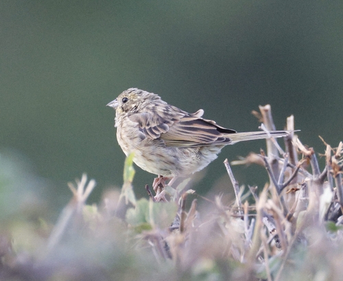
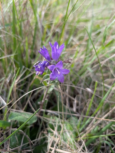
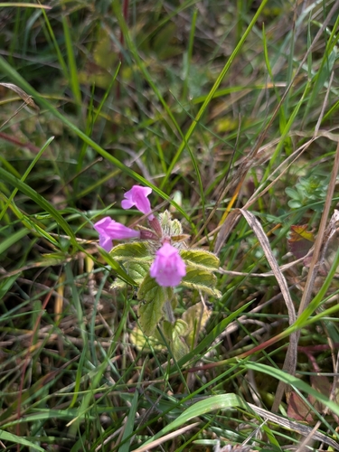
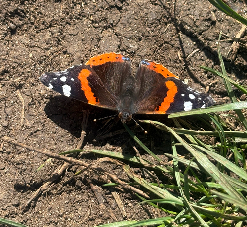
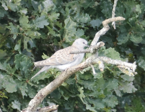
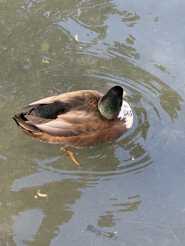
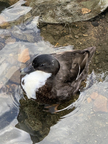
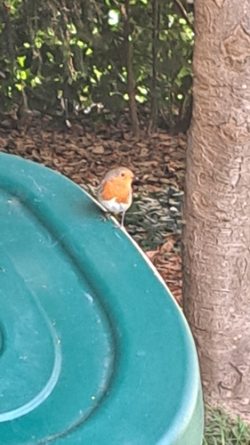
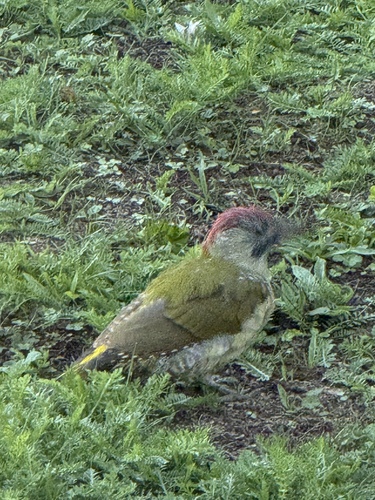
Research-grade observations from iNaturalist (within ~15 mi).
Events
Gallery
Official Identifiers
ONS — UK Office for National Statistics
- ONS code
- osgb4000000074548775
- Local type
- Town
- Region
- East Midlands
api.postcodes.io / OS Open Names
Sources
- • Wikipedia
- • Wikidata
- • USGS Earthquake Catalog (global feed)
- • GBIF (Global Biodiversity Information Facility)
- • iNaturalist
- • Open-Meteo / sunrise-sunset.org
- • Wikipedia Pageviews API
- • Open Library
- • Wikidata SPARQL (CC0) — population, area, elevation, inception, head of government, Commons image
- • ONS / OS Open Names — UK official place gazetteer, via api.postcodes.io (OS code, local type, county/unitary, district/borough, region)
- • ONS — UK Office for National Statistics — api.postcodes.io / OS Open Names