Browse / United Kingdom / England / Standish
Standish
Englandvillage

Standish
Total population
13,278
Air quality index
Demographic figures from UK Office for National Statistics. Overview below cites Wikipedia and may reference a different year.
City facts
Overview
Standish is a village in the Metropolitan Borough of Wigan, Greater Manchester, England. Within the boundaries of the historic county of Lancashire, it is on the A49 road between Chorley and Wigan, near Junction 27 of the M6 motorway. The population of the town was 13,278 in the 2011 census.
Read more on WikipediaHistory & geography
History
The name Standish is derived from the Old English stan, meaning stone, and edisc, a park or enclosure. It has been variously recorded as Stanedis in 1206, Stanediss in 1219, Standissh, Stanedich and Stanedissh in 1292 and Standisch in 1330. The adjoining village of Langtree was recorded as Langetre in 1206 and Longetre in 1330. Two Roman hoards have been found in Standish. A copper vessel containing 200 silver coins was found near the highway in about 1675, and the Boar's Head Hoard was found in the village in 1926, consisting of 137 denarii. A Roman road passed through the township. Standish and Langtree were part of the Penwortham barony in the 12th century, and between 1150 and 1164, Richard Bussel, Lord of Penwortham gave them to his brother-in-law Richard Spileman. In 1212, Thurstan Banastre held them, and later they were held by William de Ferrers, Earl of Derby, and then by 'the lords of Leylandshire'. The tenants adopted the local surnames, Standish and Langtree. Standish Hall, whose oldest part dated from 1574, was demolished in stages during the 20th century. However, several of its wood-panelled interiors survive, most of which were transported to the US. The Standish family were the main coal owners in the area, with their estate being mined since the 14th century. Coal mining in the area increased during the Industrial Revolution. During 1865–66, the Standish collieries were merged into the Wigan Coal and Iron Company. In 1900 the two 20 ft shafts of Wigan Coal's Victoria Colliery were sunk. This would continue to operate until its closure by the National Coal Board in 1958. It is now a housing estate, although its reclamation site is used as open space. Mining in the village reached its peak around 1914, with 11 active mines in Standish and…
Geography
Standish is north-by-northwest of Wigan, 19 miles north-west of Manchester, and 18 miles north-east of Liverpool. The A49 trunk road passes through the centre of the town, on its way from Wigan to Chorley. Standish is served by Junction 27 of the M6 motorway, which is to the west of the town. The West Coast Main Line is on the eastern side of the town, around a mile from the centre. The River Douglas and Bradley Brook form the boundary on the eastern side of Standish. Mill Brook, which flows into the Douglas, forms the western boundary. Standish is situated on a ridge of high land which rises to 370 feet and runs north to south across the township, near the river the land is between 120 and 160 feet.
Excerpted from the corresponding Wikipedia article (CC BY-SA).
Geography
Coordinates & boundaries from the US Census TIGER/Line shapefiles.
Climate
10-year averages from ERA5 reanalysis (Open-Meteo).
Air quality
Current readings from Open-Meteo Air Quality API (Copernicus CAMS European reanalysis).
Walkability
Amenities nearby
Wildlife & biodiversity
Most-observed species
- Common Wood-PigeonColumba palumbus Linnaeus, 1758 · Aves13,656
- Eurasian BlackbirdTurdus merula Linnaeus, 1758 · Aves11,185
- European RobinErithacus rubecula (Linnaeus, 1758) · Aves10,989
- Eurasian MagpiePica pica (Linnaeus, 1758) · Aves10,878
- Carrion CrowCorvus corone Linnaeus, 1758 · Aves9,587
- Eurasian Blue TitCyanistes caeruleus (Linnaeus, 1758) · Aves9,202
- MallardAnas platyrhynchos Linnaeus, 1758 · Aves8,627
- Great TitParus major Linnaeus, 1758 · Aves8,377
Citizen-science & research observations from the Global Biodiversity Information Facility (GBIF).
Earthquake history
Most recent
- M 3.4 — 2025-12-030 km ESE of Carnforth, United Kingdom
- M 2.7 — 2023-06-282 km SE of Cheadle, United Kingdom
- M 3.6 — 2022-05-302 km ESE of Prees, United Kingdom
- M 3.2 — 2013-08-2523 km W of Cleveleys, United Kingdom
- M 3.6 — 2011-01-035 km S of Masham, United Kingdom
- M 3.5 — 2010-12-2112 km WSW of Ambleside, United Kingdom
Events from the USGS Earthquake Catalog (global) (FDSN Event Web Service).
Photos
Sights & places nearby
Notable people from here


People born within ~10 km, from Wikidata (CC0). Click any name for their Wikipedia article.
Nearby places in England
Geography & sun
Elevation, sunrise/sunset and daylight from Open-Meteo. Solar climatology from NASA POWER.
Nearby airports
Public attention
Pageview totals from the Wikimedia Pageviews API.
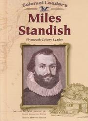
Books about Standish
![THE FAMILIES OF STANDISH OF STANDISH LANCASHIRE, ENGLAND ... [Standish of Standish Parish]](https://covers.openlibrary.org/b/id/14959079-M.jpg)



Search results from Open Library.
Recent natural events nearby
Ground air-quality sensors
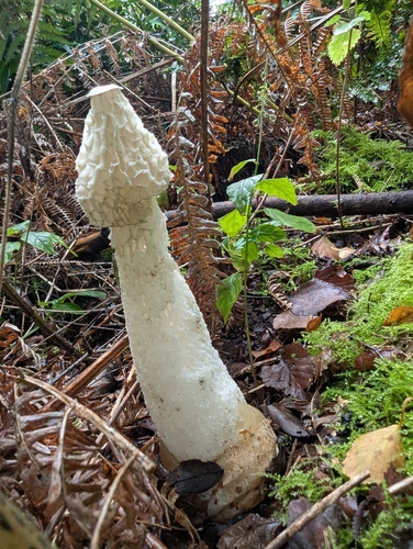
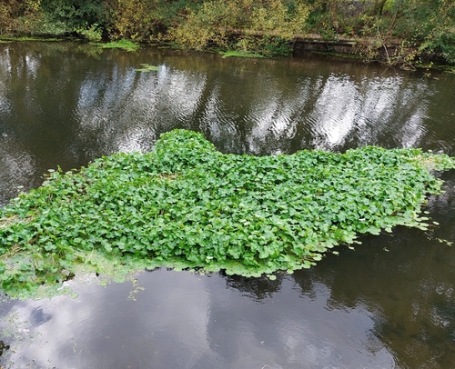
Recently spotted species
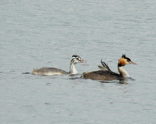
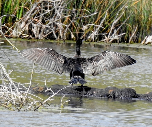
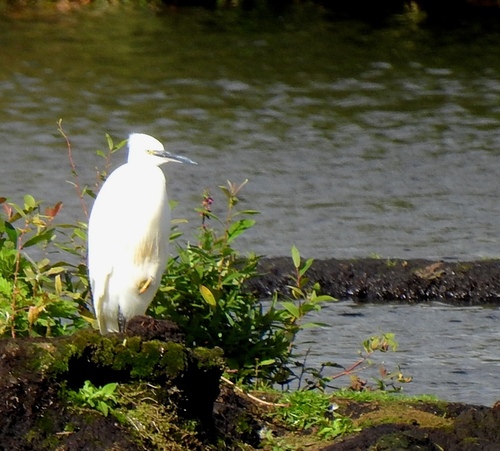
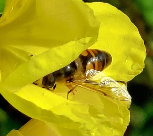
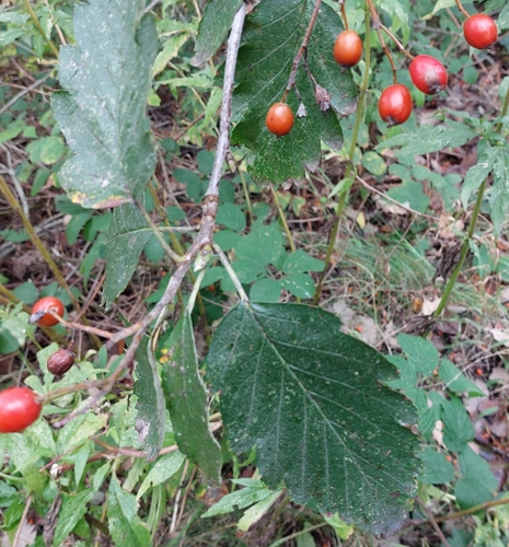
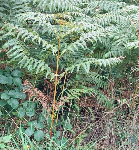
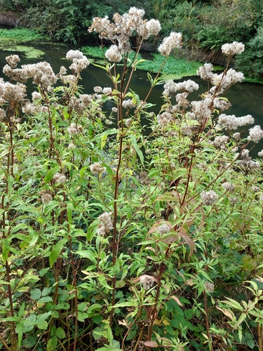
Research-grade observations from iNaturalist (within ~15 mi).
Events
Gallery
Official Identifiers
ONS — UK Office for National Statistics
- ONS code
- osgb4000000074551195
- Local type
- Town
- Region
- North West
api.postcodes.io / OS Open Names
Sources
- • Wikipedia
- • Open-Meteo (ERA5 reanalysis)
- • Wikidata
- • Open-Meteo Air Quality (CAMS)
- • USGS Earthquake Catalog (global feed)
- • GBIF (Global Biodiversity Information Facility)
- • iNaturalist
- • Open-Meteo / sunrise-sunset.org
- • Wikipedia Pageviews API
- • Open Library
- • Wikidata SPARQL (CC0) — population, area, elevation, inception, head of government, Commons image
- • ONS / OS Open Names — UK official place gazetteer, via api.postcodes.io (OS code, local type, county/unitary, district/borough, region)
- • ONS — UK Office for National Statistics — api.postcodes.io / OS Open Names