Browse / United Kingdom / England / Stoke-on-Trent
Stoke-on-Trent
Englandcity

Stoke-on-Trent
Total population
249,000
Founded
1925
Demographic figures from UK Office for National Statistics. Overview below cites Wikipedia and may reference a different year.
City facts
Sister cities
Facts from Wikidata (CC0).
Overview
Stoke-on-Trent, often known as Stoke, is a city and unitary authority area in Staffordshire, England. It had an estimated population of 259,965 in 2022, making it the largest settlement in Staffordshire and one of the largest cities of the Midlands. Stoke is surrounded by the towns of Alsager, Biddulph, Cheadle, Kidsgrove, Newcastle-under-Lyme and Stone, which form a conurbation around the city.
Read more on WikipediaHistory & geography
History
An early proposal for a federation took place in 1888 when an amendment was raised to the Local Government Bill which would have made the six towns into districts within a county of Staffordshire Potteries. On 1 April 1910 the "Six Towns" were brought together. The county borough of Hanley, the municipal boroughs of Burslem, Longton, and Stoke, together with the urban districts of Tunstall and Fenton now formed a single county borough of Stoke-on-Trent. In 1919, the borough proposed to expand further and annex the neighbouring borough of Newcastle-under-Lyme and the Wolstanton United Urban District, both to the west of Stoke. This never took place, due to strong objections from Newcastle Corporation. A further attempt was made in 1930, with the promotion of the Stoke-on-Trent Extension Bill. Ultimately, Wolstanton was instead added to Newcastle-under-Lyme in 1932. Although attempts to merge Newcastle, Wolstanton and Kidsgrove (north of Tunstall) were never successful, the borough expanded in 1922, taking in Smallthorne Urban District and parts of other parishes from Stoke upon Trent Rural District. The borough was granted city status in 1925, with a lord mayor from 1928. When the county borough of Stoke-on-Trent initially applied for city status in 1925, citing its importance as the centre of the pottery industry, it was refused by the Home Office as it had fewer than 300,000 inhabitants. The decision was overturned, when a direct approach was made to King George V, who agreed that the borough ought to be a city. The public announcement of the elevation to city status was made by the king during a visit to Stoke in June 1925. It is planned that charter trustees will be used to continue Stoke-on-Trent's city status, and mayoralty. Since the 17th century, the area has…
Geography
Stoke-on-Trent has an area of . It is located between Manchester, Wolverhampton and Birmingham on the M6 corridor in the West Midlands region. It lies on the upper valley of the River Trent at the south-west foothills of the Pennines, near the uplands of the Peak District to the north-east and the lowlands of the Midlands and Cheshire Plain to the south and west. The city ranges from 92 to 250 metres (301 to 820 ft) above sea level. As well as Newcastle-under-Lyme, which adjoins it to the west, other nearby towns include Crewe, Nantwich, Alsager, Congleton, Biddulph, Kidsgrove, Stafford, Uttoxeter, Eccleshall, Cheadle, Stone and Leek. Stoke-on-Trent is often known as "the city of five towns", the name given to it by local novelist Arnold Bennett, and is the only polycentric city in the UK. In his novels, Bennett used mostly recognisable aliases for five of the six towns, although he called Stoke "Knype". Bennett said that he believed "Five Towns" was more euphonious than "Six Towns", so he omitted Fenton, now sometimes referred to as "the forgotten town." As it is a city made up of multiple towns, the city forms a conurbation. In this case, the conurbation is bigger than Stoke itself, because the urban area of Stoke is contiguous with that of administratively separate Newcastle. The six towns run in a rough line from north to south along the A50 road – Tunstall, Burslem, Hanley, Stoke, Fenton and Longton. Although the city is named after the original town of Stoke, and the City Council offices are located there, the city centre is usually regarded as being in Hanley, which had earlier developed into a major commercial centre. For Eurostat purposes, it is a NUTS 3 region (code UKG23); it is also one of four counties or unitary districts that compose the…
Excerpted from the corresponding Wikipedia article (CC BY-SA).
Geography
Coordinates & boundaries from the US Census TIGER/Line shapefiles.
Climate
Air quality
Walkability
Amenities nearby
Wildlife & biodiversity
Most-observed species
- Common Wood-PigeonColumba palumbus Linnaeus, 1758 · Aves7,115
- European RobinErithacus rubecula (Linnaeus, 1758) · Aves6,117
- Eurasian BlackbirdTurdus merula Linnaeus, 1758 · Aves5,994
- Eurasian MagpiePica pica (Linnaeus, 1758) · Aves5,988
- Carrion CrowCorvus corone Linnaeus, 1758 · Aves5,864
- Eurasian Blue TitCyanistes caeruleus (Linnaeus, 1758) · Aves5,165
- Great TitParus major Linnaeus, 1758 · Aves4,610
- European GoldfinchCarduelis carduelis (Linnaeus, 1758) · Aves4,453
Citizen-science & research observations from the Global Biodiversity Information Facility (GBIF).
Earthquake history
Most recent
- M 2.7 — 2023-06-282 km SE of Cheadle, United Kingdom
- M 3.6 — 2022-05-302 km ESE of Prees, United Kingdom
- M 3.2 — 2022-02-215 km N of Hockley, United Kingdom
- M 2.6 — 2014-10-282 km NNE of Hucknall, United Kingdom
- M 2.9 — 2013-01-180 km NE of Hathern, United Kingdom
- M 3.9 — 2008-10-262 km N of Bromyard, United Kingdom
Events from the USGS Earthquake Catalog (global) (FDSN Event Web Service).
Photos
Sights & places nearby
Notable people from here


People born within ~10 km, from Wikidata (CC0). Click any name for their Wikipedia article.
Nearby places in England
Geography & sun
Elevation, sunrise/sunset and daylight from Open-Meteo. Solar climatology from NASA POWER.
Nearby airports
Public attention
Pageview totals from the Wikimedia Pageviews API.
Books about Stoke-on-Trent

![[Report 1933]](https://covers.openlibrary.org/b/id/8181953-M.jpg)
Search results from Open Library.
Recent natural events nearby
Ground air-quality sensors
Recently spotted species
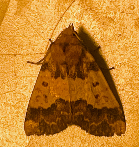

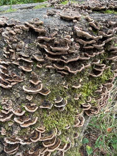
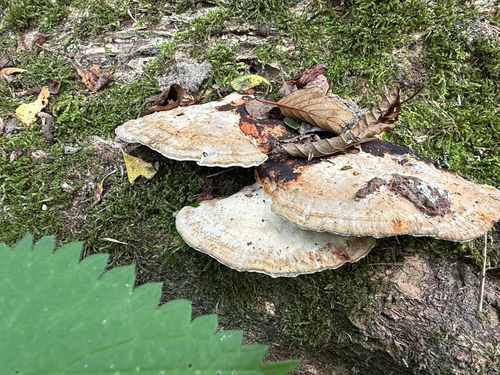
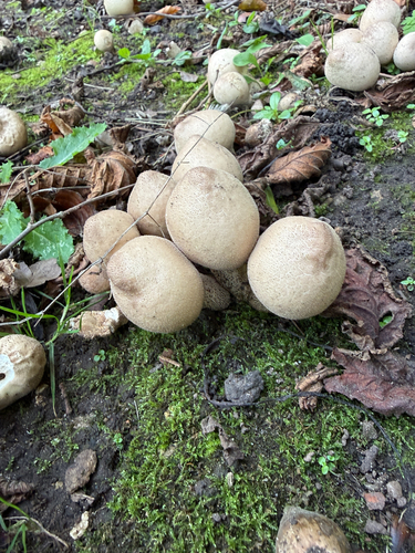
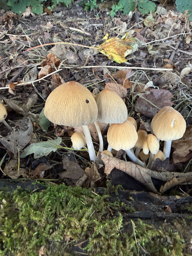
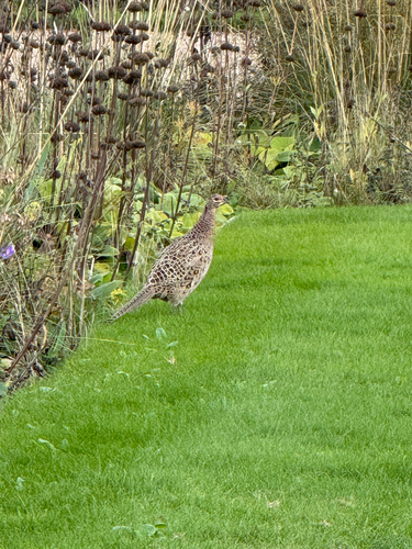
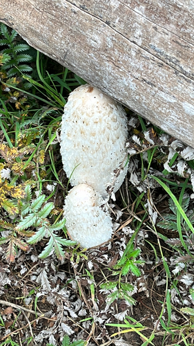
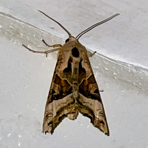
Research-grade observations from iNaturalist (within ~15 mi).
Events
Gallery
Official Identifiers
ONS — UK Office for National Statistics
- ONS code
- osgb4000000074575785
- Local type
- City
- Region
- West Midlands
api.postcodes.io / OS Open Names
Sources
- • Wikipedia
- • Wikidata
- • USGS Earthquake Catalog (global feed)
- • GBIF (Global Biodiversity Information Facility)
- • iNaturalist
- • Open-Meteo / sunrise-sunset.org
- • Wikipedia Pageviews API
- • Open Library
- • Wikidata SPARQL (CC0) — population, area, elevation, inception, head of government, Commons image
- • ONS / OS Open Names — UK official place gazetteer, via api.postcodes.io (OS code, local type, county/unitary, district/borough, region)
- • ONS — UK Office for National Statistics — api.postcodes.io / OS Open Names