Browse / United Kingdom / Scotland / Stonehouse
Stonehouse
Scotlandtown

Stonehouse
Total population
5,550
Demographic figures from UK Office for National Statistics. Overview below cites Wikipedia and may reference a different year.
City facts
Overview
Stonehouse is a rural village in South Lanarkshire, Scotland. It is on Avon Water in an area of natural beauty and historical interest, near to the Clyde Valley. It is on the A71 trunk road between Edinburgh and Kilmarnock, near the towns of Hamilton, Larkhall and Strathaven. The population of Stonehouse is around 5,500 as of 2020.
Read more on WikipediaHistory & geography
History
File:United.Presbyterian.Church.Stonehouse.jpg|United Presbyterian Church File:Scene.near.Glen-Avon.Stonehouse.jpg|Scene near Glen-Avon File:Montage.falls.fair.Glassford.bridge.Stonehouse.jpg|Montage of scenes: a falls, the fair at Auld Stonehouse, and Glassford Bridge File:Free.Church.Stonehouse.jpg|Free Church File:Cross.and.King.Street.Stonehouse.jpg|Cross and King Street File:Cross.and.Irongate.Stonehouse.jpg|Cross and Trongate File:Churchyard.River.Avon.Stonehouse.jpg|Churchyard and River Avon File:Cam'Nethan.House.Stonehouse.jpg|Cam'Nethan House (Residence of General Lockhart) File:Bridges.Stonehouse.jpg|Bridges File:Avon.Cander.junction.Stonehouse.jpg|Junction of the Avon and Cander The village's oldest structure are the ruins of St Ninian's Church, which date from the 17th century and stand in an ancient graveyard on the edge of the village. The old village centre has several rows of late 18th century and early 19th century weavers' cottages, some of which have double windows which were originally intended to maximize the amount of light coming in, for weavers working on their looms. In 1973, Stonehouse was designated to become an addition to Scotland's new towns with the purpose of strengthening the output of public sector housing available to rehouse Glasgow's people from its unfit tenements, a modern urban design to alleviate overcrowding in and around Glasgow and to generate industrial development, similar to the towns of East Kilbride, Cumbernauld and Livingston. Stonehouse was added to the responsibilities of the East Kilbride Development Corporation. Following the West Central Scotland Plan of 1974 and the inception of Strathclyde Regional Council in 1975, regional planning strategy was refocused upon regeneration within Glasgow leading to the…
Excerpted from the corresponding Wikipedia article (CC BY-SA).
Geography
Coordinates & boundaries from the US Census TIGER/Line shapefiles.
Climate
Air quality
Walkability
Amenities nearby
Wildlife & biodiversity
Earthquake history
Photos
Sights & places nearby
Notable people from here
Geography & sun
Elevation, sunrise/sunset and daylight from Open-Meteo. Solar climatology from NASA POWER.
Nearby airports
Public attention
Pageview totals from the Wikimedia Pageviews API.
Books about Stonehouse

Search results from Open Library.
Recent natural events nearby
Ground air-quality sensors
Recently spotted species
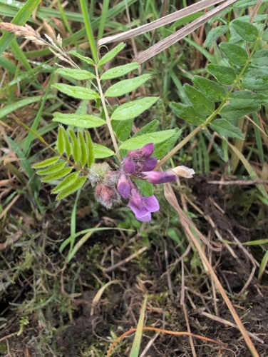
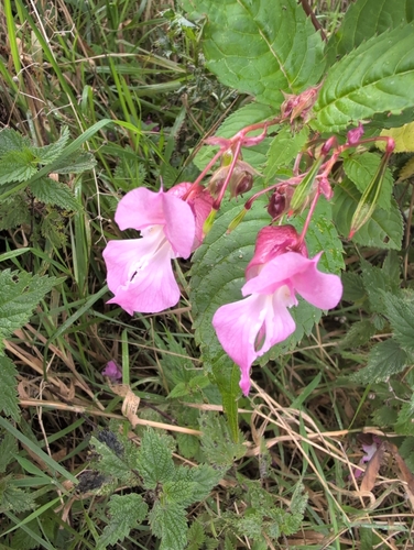
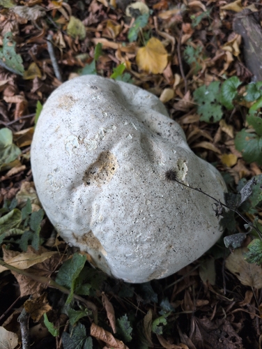
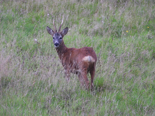
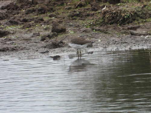

Research-grade observations from iNaturalist (within ~15 mi).
Events
Gallery
Official Identifiers
ONS — UK Office for National Statistics
- ONS code
- osgb4000000074546597
- Local type
- Village
- Region
- Scotland
api.postcodes.io / OS Open Names
Sources
- • Wikipedia
- • iNaturalist
- • Open-Meteo / sunrise-sunset.org
- • Wikipedia Pageviews API
- • Open Library
- • ONS / OS Open Names — UK official place gazetteer, via api.postcodes.io (OS code, local type, county/unitary, district/borough, region)
- • ONS — UK Office for National Statistics — api.postcodes.io / OS Open Names