Browse / United Kingdom / England / Sturminster Newton
Sturminster Newton
Englandtown

Sturminster Newton
Demographic figures from UK Office for National Statistics. Overview below cites Wikipedia and may reference a different year.
City facts
Facts from Wikidata (CC0).
Overview
Sturminster Newton is a town and civil parish situated on the River Stour in the north of Dorset, England. The town is at the centre of the Blackmore Vale, a large dairy agriculture region around which the town's economy is built, and is known as 'the heart of the Blackmore vale'.
Read more on WikipediaHistory & geography
History
Sturminster Newton was recorded in an Anglo-Saxon charter in 968 as Nywetone at Stoure, and in the Domesday Book of 1086 as Newentone. Newton refers to a new farm or estate, and Sturminster to a church (minster) on the Stour. Originally the two parts of the name referred to the settlements on the north and south of the river, but were combined to distinguish the town from Sturminster Marshall and other Newtons. The history of the town and surrounding area has been researched by the Sturminster Newton Heritage Trust, which runs the Sturminster Newton Museum in the Old Market Cross House in the centre of town. The Museum is open to visitors on some days every week. Hidden on the hill above the bridge over the river are the ruins of Sturminster Newton Castle, a manor house rather than a defensive building. The 14th-century building stands on a crescent shaped mound which could be the site of an Iron Age hillfort. The town and castle were part of Sturminster Newton hundred. Sturminster Newton is situated at a historic fording point on the River Stour. The ford was replaced in the 16th century with a six-arch stone bridge, and a quarter-kilometre embankment crossing the flood plain. The bridge was widened from in 1820. A 19th-century plaque affixed to the bridge states that anyone damaging the bridge would be transported to Australia as a felon. The Sturminster Newton Heritage Trust runs the Sturminster Newton Mill on the south bank of the river and which has existed since at least 1016. The mill was restored in 1980 and is now a working museum watermill which is open to visitors on some days every week between the end of March and the end of September. The mill resumed commercial production of flour in 2020. The town centre is built in a mixture of styles, including…
Geography
Sturminster Newton civil parish covers about at an elevation of , with the highest ground being in the southeast. The parish includes the small settlements of Bagber, Broad Oak and Puxey. The town is situated on a meander of the River Stour. The larger part of the town (Sturminster) lies on a low limestone ridge to the north side of the river, and includes most shops and services, whilst to the south is the smaller Newton, separated by a wide flood plain. The geology of the parish comprises Oxford clay in the northwest, Corallian limestone and sands in the northeast, centre and southwest, and Kimmeridge clay in the southeast. To the southeast of the town are Girdlers Coppice and Piddles Wood, areas of mature woodland that are designated as sites of special scientific interest.
Excerpted from the corresponding Wikipedia article (CC BY-SA).
Geography
Coordinates & boundaries from the US Census TIGER/Line shapefiles.
Climate
Air quality
Walkability
Amenities nearby
Wildlife & biodiversity
Earthquake history
Photos
Sights & places nearby
Notable people from here
Geography & sun
Elevation, sunrise/sunset and daylight from Open-Meteo. Solar climatology from NASA POWER.
Nearby airports
Public attention
Pageview totals from the Wikimedia Pageviews API.
Books about Sturminster Newton
Search results from Open Library.
Recent natural events nearby
Ground air-quality sensors
Recently spotted species
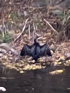

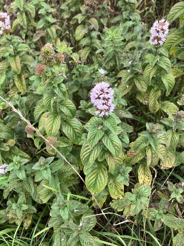


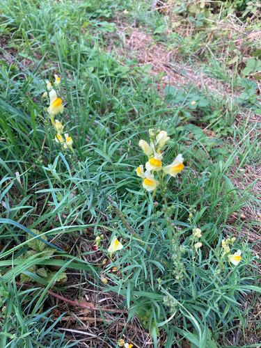


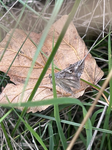
Research-grade observations from iNaturalist (within ~15 mi).
Events
Gallery
Sources
- • Wikipedia
- • Wikidata
- • iNaturalist
- • Open-Meteo / sunrise-sunset.org
- • Wikipedia Pageviews API
- • Open Library