Browse / United Kingdom / England / Sutton-in-Ashfield
Sutton-in-Ashfield
Englandtown

Sutton-in-Ashfield
Demographic figures from UK Office for National Statistics. Overview below cites Wikipedia and may reference a different year.
City facts
Overview
Sutton-in-Ashfield is a market town in Nottinghamshire, England, with a population of 36,404 in 2021. It is the largest town in the district of Ashfield, 4 miles (6 km) west of Mansfield, 2 miles (3 km) from the Derbyshire boundary and 12 miles (19 km) north of Nottingham.
Read more on WikipediaHistory & geography
History
The area was first settled in the Saxon times and the Saxon suffix "ton" means "an enclosure or fenced in clearing". The town appears in the Domesday Book in 1086 as "Sutone". Sutton-in-Ashfield, like Mansfield, was part the land of Edward the Confessor and later the land of William the Conqueror upon the Norman Conquest in 1066. Both towns are situated close to the ancient Sherwood Forest. There are also documents from 1189 showing that Gerard, son of Walter de Sutton, gave two bovates of land and the church at Sutton to Thurgarton Priory. Edward the Confessor and William the Conqueror were also the lord of the manor house of Sutton in Ashfield. In the 16th century the former manor house was passed unto James Hardwick, the brother of Countess of Shrewsbury Bess of Hardwick. On the death of her brother Bess passed the manor house unto her daughter Mary Talbot. The sick and disgraced (about the annulment of Henry VIII and Catherine of Aragon) Cardinal Wolsey travelled through Sutton in Ashfield in 1530 via "Carr Sike Lane" which is now known as Carsic. He stayed at Kirkby Hardwick which belonged to the George Talbot, 6th Earl of Shrewsbury. Sutton Lawn, was the home of Sutton Hall, the former home of Samuel Unwin who moved to the town from London in the eighteenth century and became a textile merchant.
Geography
For demographic purposes Sutton-in-Ashfield is included in the Mansfield Urban Area, although it administratively forms part of the separate council district of Ashfield, which is based in Kirkby-in-Ashfield. To the north is Teversal, Skegby and Stanton Hill.
Excerpted from the corresponding Wikipedia article (CC BY-SA).
Geography
Coordinates & boundaries from the US Census TIGER/Line shapefiles.
Climate
Air quality
Walkability
Amenities nearby
Wildlife & biodiversity
Earthquake history
Photos
Sights & places nearby
Notable people from here


People born within ~10 km, from Wikidata (CC0). Click any name for their Wikipedia article.
Nearby places in England
Geography & sun
Elevation, sunrise/sunset and daylight from Open-Meteo. Solar climatology from NASA POWER.
Nearby airports
Public attention
Pageview totals from the Wikimedia Pageviews API.
Books about Sutton-in-Ashfield
![[Report 1955]](https://covers.openlibrary.org/b/id/11797046-M.jpg)
![[Report 1964]](https://covers.openlibrary.org/b/id/11006730-M.jpg)
![[Report 1969]](https://covers.openlibrary.org/b/id/11009450-M.jpg)
Search results from Open Library.
Recent natural events nearby
Ground air-quality sensors
Recently spotted species
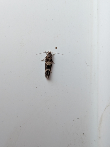
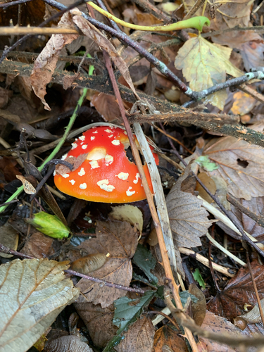
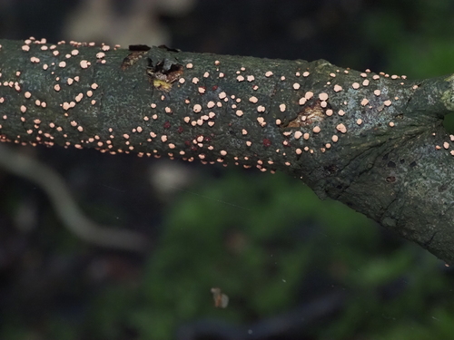
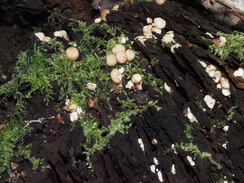
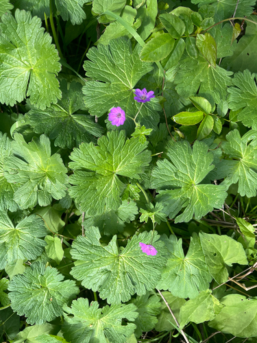
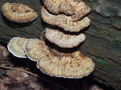
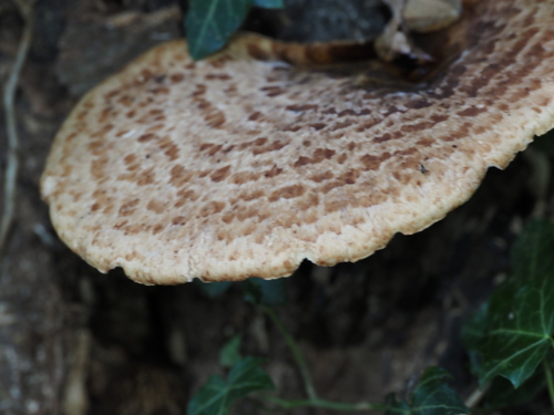
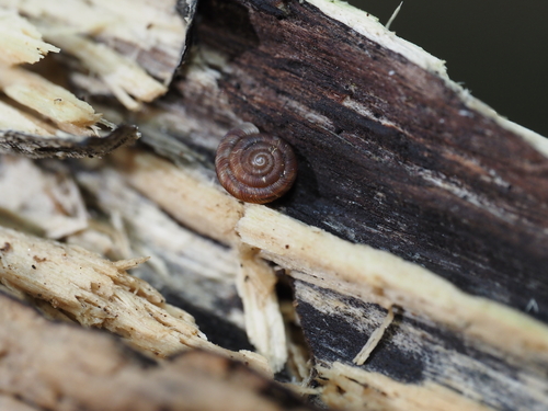
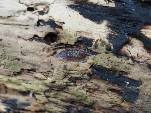
Research-grade observations from iNaturalist (within ~15 mi).
Events
Gallery
Sources
- • Wikipedia
- • Wikidata
- • iNaturalist
- • Open-Meteo / sunrise-sunset.org
- • Wikipedia Pageviews API
- • Open Library