Browse / United Kingdom / Scotland / Tayport
Tayport
Scotlandtown

Tayport
Total population
7,922
Demographic figures from UK Office for National Statistics. Overview below cites Wikipedia and may reference a different year.
City facts
Facts from Wikidata (CC0).
Overview
Tayport, also known as Ferry-Port-on-Craig, is a town in Fife, Scotland. It lies on the Firth of Tay opposite Broughty Ferry, a suburb of Dundee. The two were linked by a ferry service until 1939. To the east of Tayport is the vast Tentsmuir Nature Reserve, an area of forested dunes edged by wide sands that continue all the way round to the mouth of the River Eden.
Read more on WikipediaHistory & geography
History
A ferry service across the Tay was already well established when these lands were granted to the newly formed Arbroath Abbey about 1180. The abbey constructed shelter and lodgings for pilgrims making the trip between St Andrews and Arbroath via the ferry and this formed the core of a settlement that steadily grew over the centuries. A chapel was built in the early 13th century, possibly more of an abbey than chapel. The site was excavated in the 1930s or earlier. The harbour at Tayport was distinguished by Tayport castle, which was built around 1450, but later demolished. Ferry-Port-on-Craig saw a dramatic increase in population at the end of the 18th century when tenants displaced by agricultural improvement and clearances, came to take advantage of jobs in the town's textile and shipbuilding industries. Leisure opportunities also increased. Golf came early to Ferry-Port-on-Craig, with a course laid out in 1817, despite the efforts of a local farmer, who twice ploughed up the course. A road to Newport-on-Tay, three miles to the west, with its less weather-prone and better used ferry service to Dundee meant that Ferry-Port-on-Craig was intermittently without a ferry during the first half of the 19th century. By the 1840s a steam ferry service had resumed between the community and Broughty Ferry. This was acquired, in 1851, by the Edinburgh, Perth and Dundee Railway which used the route for a railway ferry service from Edinburgh to Aberdeen. The rail ferry ceased operation in 1878 with the opening of the Tay Rail Bridge, only to resume operations the following year when the bridge collapsed. With the opening of the replacement bridge in 1887 Tayport returned to a passenger-only ferry, which continued to run from the town to Broughty Ferry until 1939. The opening of…
Excerpted from the corresponding Wikipedia article (CC BY-SA).
Geography
Coordinates & boundaries from the US Census TIGER/Line shapefiles.
Climate
Air quality
Walkability
Amenities nearby
Wildlife & biodiversity
Earthquake history
Photos
Sights & places nearby
Notable people from here

People born within ~10 km, from Wikidata (CC0). Click any name for their Wikipedia article.
Nearby places in Scotland
Geography & sun
Nearby airports
Public attention
Books about this place
Recent natural events nearby
Ground air-quality sensors
Recently spotted species
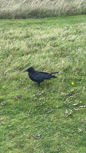


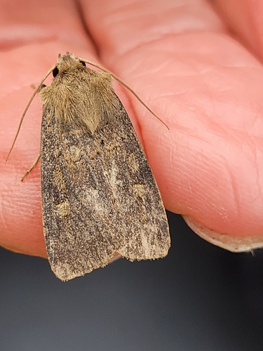

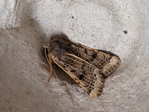
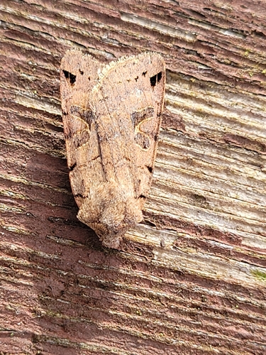
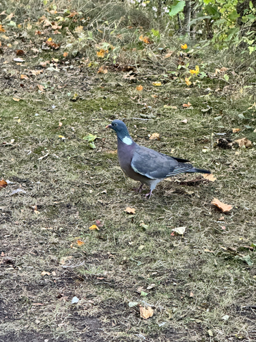
Research-grade observations from iNaturalist (within ~15 mi).
Events
Gallery
Official Identifiers
ONS — UK Office for National Statistics
- ONS code
- osgb4000000074555785
- Local type
- Town
- Region
- Scotland
api.postcodes.io / OS Open Names
Sources
- • Wikipedia
- • Wikidata
- • iNaturalist
- • ONS / OS Open Names — UK official place gazetteer, via api.postcodes.io (OS code, local type, county/unitary, district/borough, region)
- • ONS — UK Office for National Statistics — api.postcodes.io / OS Open Names