Browse / United Kingdom / England / Thatcham
Thatcham
Englandtown

Thatcham
Total population
25,496
Demographic figures from UK Office for National Statistics. Overview below cites Wikipedia and may reference a different year.
City facts
Facts from Wikidata (CC0).
Overview
Thatcham is a market town and civil parish in West Berkshire, England. It is situated in the valley of the River Kennet 3 miles (4.8 km) east of Newbury, 14 miles (23 km) west of Reading and 54 miles (87 km) west of London. The town has a long history dating back to prehistoric times, a claimant to the title of oldest continuously inhabited place in Great Britain. As of 2021, it had a population of 25,464, though it is part of a built-up area comprising itself and neighbouring Newbury of over 70,000 residents. It is on the route of the A4 Bath Road, the historic main road between London and Bristol.
Read more on WikipediaHistory & geography
History
The area has evidence of occupation dating from prehistoric times and was listed in the Guinness Book of Records as the strongest claimant to being the oldest continuously inhabited place in Britain. The well-preserved remains of a Mesolithic settlement, dating from 8400 to 7700 BCE, when the Chapel of St. Thomas the Martyr on the A4, now called the Old Bluecoat School, was granted permission to hold services. At that time the population was larger than that of Newbury. There is a Norman parish church of St. Mary, which was largely reconstructed in 1857. This is believed to be built on the same site as an earlier Anglo-Saxon church. It was previously known as St. Luke's. The church is a Grade II* listed building. In 1121, Henry I founded Reading Abbey and endowed it with many gifts of land, including the Manor of Thatcham. At the same time Thatcham Hundred ceased to exist: the western part was transferred to Faircross Hundred, and the remainder to the Hundred of Reading. In 1141 Thatcham church, previously the property of the Diocese of Salisbury, was granted to Reading Abbey by the Empress Matilda, who at the same time confirmed her father's gift of the manor to the abbey. During World War II, Thatcham housed one of the biggest Prisoner of War camps in the South, known as camp 1001. Thatcham's population grew rapidly in the second half of the 20th century: from 5,000 in 1951 and 7,500 in 1961 to 22,824 in 2001. On 20 July 2007, parts of Thatcham were flooded during a period of sustained heavy rain, during which three times the average July monthly rainfall hit the town in just 24 hours. While the rivers did not flood, the quantity of water flowing down the hills from Cold Ash and Bucklebury made many roads impassable and stranded hundreds of pupils at Kennet…
Geography
Thatcham straddles the River Kennet, the Kennet and Avon Canal and the A4. The parish currently covers the town of Thatcham, with its suburb of Dunstan Park and the villages of Crookham, Henwick and Colthrop including Crookham Common and the eastern ranges of the old RAF Greenham Common airfield. The historic parish once also covered Midgham, Cold Ash, Ashmore Green and Greenham. Thatcham Reed Beds, just to the south of the town, is a site of Special Scientific Interest (SSSI).
Excerpted from the corresponding Wikipedia article (CC BY-SA).
Geography
Coordinates & boundaries from the US Census TIGER/Line shapefiles.
Climate
Air quality
Walkability
Amenities nearby
Wildlife & biodiversity
Earthquake history
Photos
Sights & places nearby
Notable people from here


People born within ~10 km, from Wikidata (CC0). Click any name for their Wikipedia article.
Nearby places in England
Geography & sun
Elevation, sunrise/sunset and daylight from Open-Meteo. Solar climatology from NASA POWER.
Nearby airports
Public attention
Pageview totals from the Wikimedia Pageviews API.
Books about Thatcham
Search results from Open Library.
Recent natural events nearby
Ground air-quality sensors
Recently spotted species
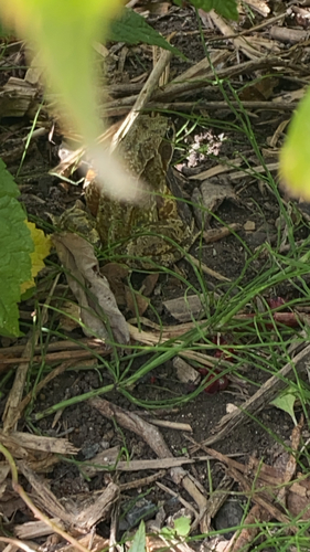
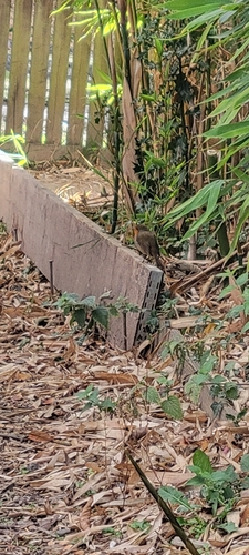
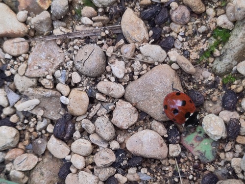
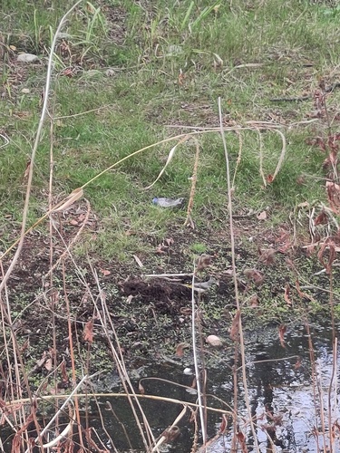
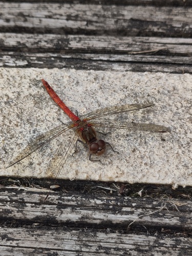
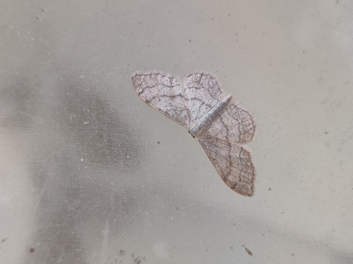
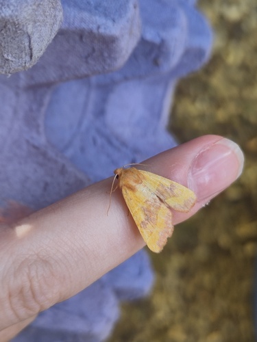
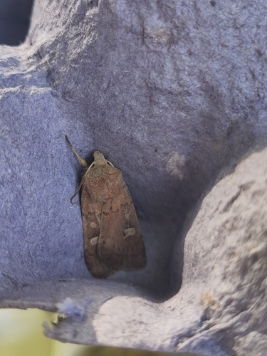
Research-grade observations from iNaturalist (within ~15 mi).
Events
Gallery
Official Identifiers
ONS — UK Office for National Statistics
- ONS code
- osgb4000000074542181
- Local type
- Town
- Region
- South East
api.postcodes.io / OS Open Names
Sources
- • Wikipedia
- • Wikidata
- • iNaturalist
- • Open-Meteo / sunrise-sunset.org
- • Wikipedia Pageviews API
- • Open Library
- • Wikidata SPARQL (CC0) — population, area, elevation, inception, head of government, Commons image
- • ONS / OS Open Names — UK official place gazetteer, via api.postcodes.io (OS code, local type, county/unitary, district/borough, region)
- • ONS — UK Office for National Statistics — api.postcodes.io / OS Open Names