Browse / United Kingdom / Scotland / Tranent
Tranent
Scotlandtown

Tranent
Total population
11,642
Demographic figures from UK Office for National Statistics. Overview below cites Wikipedia and may reference a different year.
City facts
Overview
Tranent is a town in East Lothian, in the south-east of Scotland. Tranent lies 6 mi (9.7 km) from the boundary of Edinburgh, and 9.1 mi (14.6 km) from the city centre. It lies south of the A1 road that runs through the parish splitting it from its associated villages and hamlets Meadowmill and the ports of Cockenzie and Port Seton. The original main post road ran straight through the town until the new A1 was built. Built on a gentle slope, about 90 metres (300 ft) above sea level it is one of the oldest towns in East Lothian. The population of the town is approximately 12,140, an increase of over 4,000 since 2001. Tranent was formerly a major mining town, but now serves as a commuter town for Edinburgh.
Read more on WikipediaHistory & geography
History
The name is thought to be of Brythonic origin, possibly containing the elements Tre and Nant, meaning town over the stream Travernant. Tranent was once an important mining town, and coal was first worked there in the thirteenth century by the monks of Newbattle Abbey who mined a nearby 2.5m / 7 ft thick coal deposit called the "Great Seam". The town possesses the oldest coal-mining charter (1202–1218) in Great Britain, and the history of coal mining in Scotland is mirrored in the history of the coal heughs, mines and pits of Tranent. Tranent is now a commuter town supporting the south-east of Scotland and, more specifically, Edinburgh. The Massacre of Tranent took place in 1797, when local people were killed by soldiers after a protest against conscription into the county militia under the Militia Act 1797. One of the 12 victims, Jackie Crookston, is depicted on the memorial that commemorates the dead in Tranent's Civic Square. In connection with the annual commemoration of the Battle of Prestonpans (originally called the Battle of Gladsmuir, and then renamed the Battle of Tranent, before many decades later being renamed the Battle of Prestonpans) there are plans to recreate a small portion of the Tranent to Cockenzie Waggonway which dates back to 1722. There is a long history of settlement in Tranent, perhaps dating back to prehistory. There are several historic buildings in and around the town, including the ruins of the old parish church, parts of which date from the 11th century and which was demolished in 1797, while a few miles south-west of the town stands Fa'side Castle, sometimes known as Falside or Fawside, a fourteenth-century L-shaped tower house. Isabella Begg née Burns, the youngest sister of Robert Burns, moved to Tranent from Ormiston with…
Excerpted from the corresponding Wikipedia article (CC BY-SA).
Geography
Coordinates & boundaries from the US Census TIGER/Line shapefiles.
Climate
Air quality
Walkability
Amenities nearby
Wildlife & biodiversity
Earthquake history
Photos
Sights & places nearby
Notable people from here
Nearby places in Scotland
Geography & sun
Elevation, sunrise/sunset and daylight from Open-Meteo. Solar climatology from NASA POWER.
Nearby airports
Public attention
Pageview totals from the Wikimedia Pageviews API.
Books about Tranent



Search results from Open Library.
Recent natural events nearby
Ground air-quality sensors
Recently spotted species

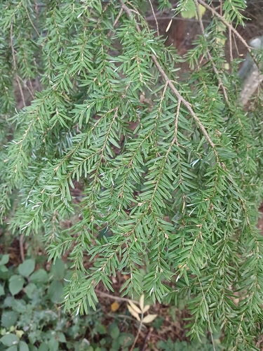
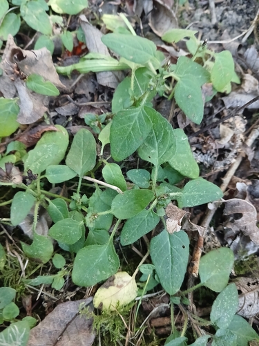
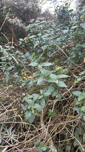
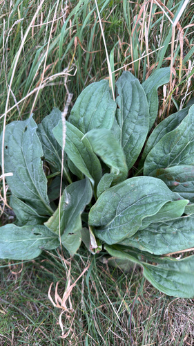

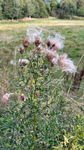
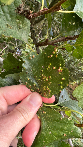
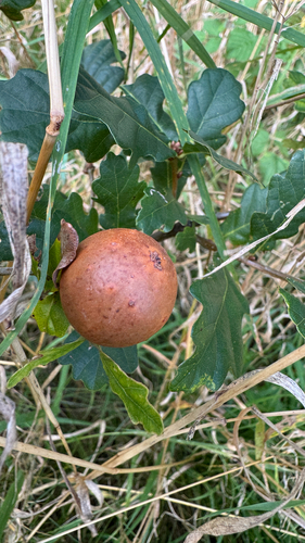
Research-grade observations from iNaturalist (within ~15 mi).
Events
Gallery
Official Identifiers
ONS — UK Office for National Statistics
- ONS code
- osgb4000000074558308
- Local type
- Town
- Region
- Scotland
api.postcodes.io / OS Open Names
Sources
- • Wikipedia
- • iNaturalist
- • Open-Meteo / sunrise-sunset.org
- • Wikipedia Pageviews API
- • Open Library
- • Wikidata SPARQL (CC0) — population, area, elevation, inception, head of government, Commons image
- • ONS / OS Open Names — UK official place gazetteer, via api.postcodes.io (OS code, local type, county/unitary, district/borough, region)
- • ONS — UK Office for National Statistics — api.postcodes.io / OS Open Names