Browse / United Kingdom / England / Verwood
Verwood
Englandtown

Verwood
Total population
15
Demographic figures from UK Office for National Statistics. Overview below cites Wikipedia and may reference a different year.
City facts
Sister cities
Facts from Wikidata (CC0).
Overview
Verwood is a town and civil parish in eastern Dorset, England. The town lies 10 miles (16 km) north of Bournemouth and 13 miles (21 km) north east of Poole as the crow flies. The civil parish comprises the town of Verwood together with the extended village of Three Legged Cross, and in 2014 had a population of 15,170. Verwood is the largest town in Dorset without an upper school. It sits on the River Crane which later becomes Moors River.
Read more on WikipediaHistory & geography
History
Verwood was originally recorded as Beau Bois (Norman French: "beautiful wood") in 1288, and it was not until 1329 that it got the name Verwood, which developed from Fairwood or The Fayrewood. Verwood is recorded as "Fairwod" (1329) and as "Fayrwod" (1436); this name has the meaning "fair wood" and the modern form shows the change of initial "f" to "v" characteristic of many Southwestern English dialects. The East Dorset pottery industry, known collectively as Verwood Pottery, thrived from early times on the clay soils of the neighbourhood which had ample firing material close at hand. The major production was of domestic earthenware although finer and more unusual pieces have been found from earlier times. In the latter days ornamental and novelty items were produced. Until the end of their useful life, the methods of production had not varied from Roman times, all the processes being carried out with no mechanisation or electrification. For example, the clay was always trodden by foot and not mixed in a pug mill. The wheel was turned by an assistant with a pole or handle, and the kilns were wood-fired. For these reasons the Crossroads Pottery, then the last remaining in the area, attracted national and local newspaper attention in the early to mid-20th century. The industry was not confined to a local sales base. Hawkers, or "higglers", took the wares for sale over a wide area of southern England. They were also exported abroad, especially to Newfoundland which had a thriving trade with the nearby port of Poole. Examples of Verwood pots can be seen at the Verwood Heathland Heritage Centre. The Verwood Memorial Recreation Ground is dedicated to those who fell in the World War I, and is owned by the Verwood Memorial Recreation Ground Trust. Members of the Verwood…
Excerpted from the corresponding Wikipedia article (CC BY-SA).
Geography
Coordinates & boundaries from the US Census TIGER/Line shapefiles.
Climate
Air quality
Walkability
Amenities nearby
Wildlife & biodiversity
Earthquake history
Photos
Sights & places nearby
Notable people from here


People born within ~10 km, from Wikidata (CC0). Click any name for their Wikipedia article.
Geography & sun
Elevation, sunrise/sunset and daylight from Open-Meteo. Solar climatology from NASA POWER.
Nearby airports
Public attention
Pageview totals from the Wikimedia Pageviews API.
Books about Verwood


Search results from Open Library.
Recent natural events nearby
Ground air-quality sensors
Recently spotted species
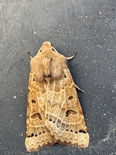
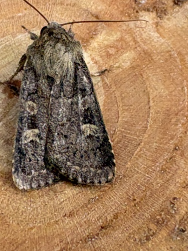
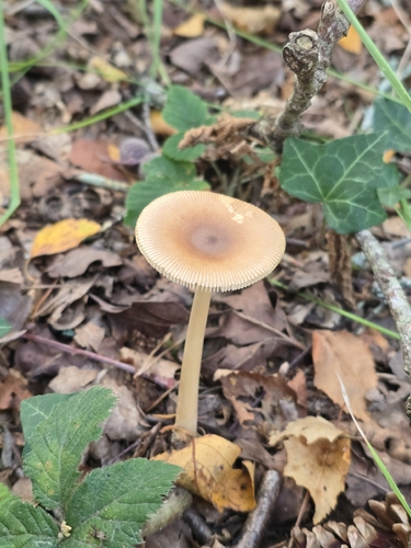
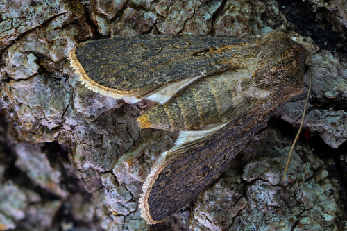
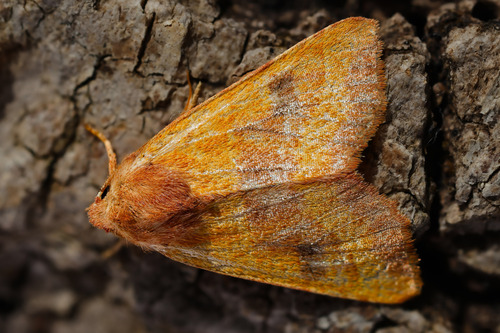
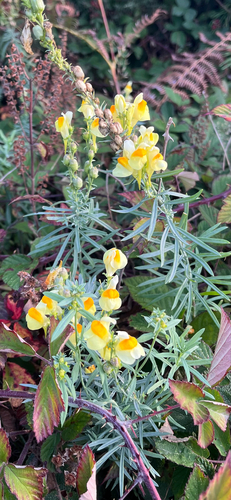
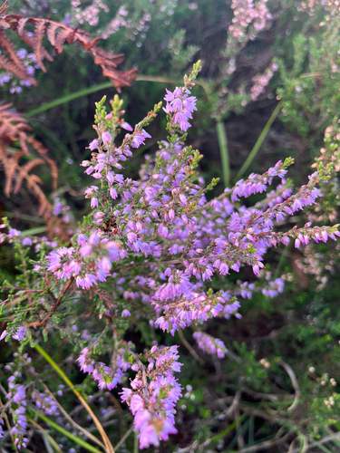
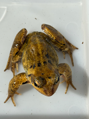
Research-grade observations from iNaturalist (within ~15 mi).
Events
Gallery
Official Identifiers
ONS — UK Office for National Statistics
- ONS code
- osgb4000000074565339
- Local type
- Town
- Region
- South West
api.postcodes.io / OS Open Names
Sources
- • Wikipedia
- • Wikidata
- • iNaturalist
- • Open-Meteo / sunrise-sunset.org
- • Wikipedia Pageviews API
- • Open Library
- • ONS / OS Open Names — UK official place gazetteer, via api.postcodes.io (OS code, local type, county/unitary, district/borough, region)
- • ONS — UK Office for National Statistics — api.postcodes.io / OS Open Names