Browse / United Kingdom / England / Warrington
Warrington
Englandtown

Warrington
Total population
202,200
Demographic figures from UK Office for National Statistics. Overview below cites Wikipedia and may reference a different year.
City facts
Sister cities
Facts from Wikidata (CC0).
Overview
Warrington is an industrial town in Cheshire, England. The town is the main settlement of the Borough of Warrington and sits on the banks of the River Mersey, with the town centre and its suburbs north of that river historically having been part of Lancashire. It is 16 miles (26 km) east of Liverpool and the same distance west of Manchester.
Read more on WikipediaHistory & geography
History
Warrington has been a major crossing point on the River Mersey since ancient times and there was a Roman settlement at Wilderspool. Local archaeological evidence indicates that there were also Bronze Age settlements. In medieval times Warrington's importance was as a market town and bridging point of the River Mersey. The first reference to a bridge at Warrington is found in 1285. The origin of the modern town was located in the area around St Elphin's Church, now included in the Church Street Conservation Area, established whilst the main river crossing was via a ford approximately 1 km upriver of Warrington Bridge. Warrington was the first paved town in Lancashire, which took place in 1321. Warrington was a fulcrum in the English Civil War. The armies of Oliver Cromwell and the Earl of Derby both stayed near the old town centre (the parish church area). Popular legend has it that Cromwell lodged near the building which survives on Church Street as the Cottage Restaurant. The Marquis of Granby public house bears a plaque stating that the Earl of Derby 'had his quarters near this site'. Dents in the walls of the parish church are rumoured to have been caused by the cannons from the time of the civil war. On 13 August 1651 Warrington was the scene of the last Royalist victory of the civil war when Scots troops under Charles II and David Leslie, Lord Newark, fought Parliamentarians under John Lambert at the Battle of Warrington Bridge. The expansion and urbanisation of Warrington largely coincided with the Industrial Revolution, particularly after the Mersey was made navigable in the 18th century. As Britain became industrialised, Warrington embraced the Industrial Revolution, becoming a manufacturing town and a centre of steel (particularly wire), textiles,…
Geography
Warrington has a temperate maritime climate with warm summers and cool winters. Rain is spread across the year, with thunderstorms only usually occurring in the summer months. Summer heat waves are rare but can cause temperatures to exceed 30 °C. Summers are usually snow free and rarely experience high winds. Winters are generally cold, with most days around 0 °C . Moreover, during occasional lengthy cold snaps, night-time temperatures have been known to fall to −12 °C with lying snow lasting for weeks. Ground frost regularly occurs from late October until late March. High winds are common in winter, although rarely above gale force 7. Warrington is within a green belt region that extends into the wider surrounding counties, and is in place to reduce urban sprawl, prevent the towns in the nearby Manchester and Merseyside conurbations from further convergence, protect the identity of outlying communities, encourage brownfield reuse, and preserve nearby countryside. This is achieved by restricting inappropriate development within the designated areas, and imposing stricter conditions on permitted building. The main urban area and larger villages of the borough are exempt from the green belt area, but surrounding smaller villages, hamlets and rural areas such as Rixton, Glazebrook, Higher Walton, Kenyon, Stretton, Hatton, Broomedge are 'washed over' with the designation. The green belt was first drawn up in 1977 under Cheshire County Council, A subsidiary aim of the green belt is to encourage recreation and leisure interests, with rural landscape features and facilities including Walton Hall gardens with zoo and bicycle museum, St Oswald's Church and well, the River Mersey with valley and trail, River Bollin, Manchester Ship Canal, Bridgewater Canal,…
Excerpted from the corresponding Wikipedia article (CC BY-SA).
Geography
Coordinates & boundaries from the US Census TIGER/Line shapefiles.
Climate
10-year averages from ERA5 reanalysis (Open-Meteo).
Air quality
Walkability
Amenities nearby
Wildlife & biodiversity
Most-observed species
- Common Wood-PigeonColumba palumbus Linnaeus, 1758 · Aves23,221
- Eurasian MagpiePica pica (Linnaeus, 1758) · Aves20,520
- Eurasian BlackbirdTurdus merula Linnaeus, 1758 · Aves20,107
- European RobinErithacus rubecula (Linnaeus, 1758) · Aves19,395
- Carrion CrowCorvus corone Linnaeus, 1758 · Aves17,880
- Eurasian Blue TitCyanistes caeruleus (Linnaeus, 1758) · Aves16,864
- Great TitParus major Linnaeus, 1758 · Aves15,255
- European GoldfinchCarduelis carduelis (Linnaeus, 1758) · Aves15,097
Citizen-science & research observations from the Global Biodiversity Information Facility (GBIF).
Earthquake history
Most recent
- M 3.4 — 2025-12-030 km ESE of Carnforth, United Kingdom
- M 2.7 — 2023-06-282 km SE of Cheadle, United Kingdom
- M 3.6 — 2022-05-302 km ESE of Prees, United Kingdom
- M 3.2 — 2013-08-2523 km W of Cleveleys, United Kingdom
- M 3.7 — 2009-04-283 km WSW of Flookburgh, United Kingdom
- M 3.3 — 2007-11-304 km NNE of Llanrhaeadr-ym-Mochnant, United Kingdom
Events from the USGS Earthquake Catalog (global) (FDSN Event Web Service).
Photos
Sights & places nearby
Notable people from here


People born within ~10 km, from Wikidata (CC0). Click any name for their Wikipedia article.
Nearby places in England
Geography & sun
Elevation, sunrise/sunset and daylight from Open-Meteo. Solar climatology from NASA POWER.
Nearby airports
Public attention
Pageview totals from the Wikimedia Pageviews API.
Books about Warrington

Search results from Open Library.
Recent natural events nearby
Ground air-quality sensors
Recently spotted species
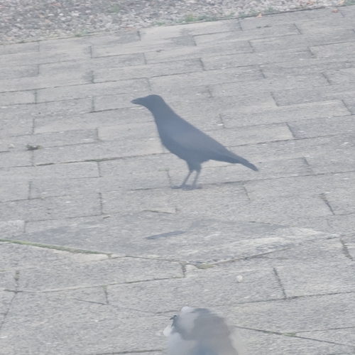
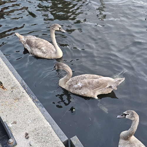
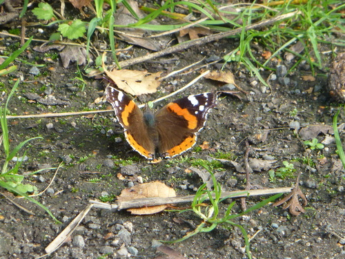
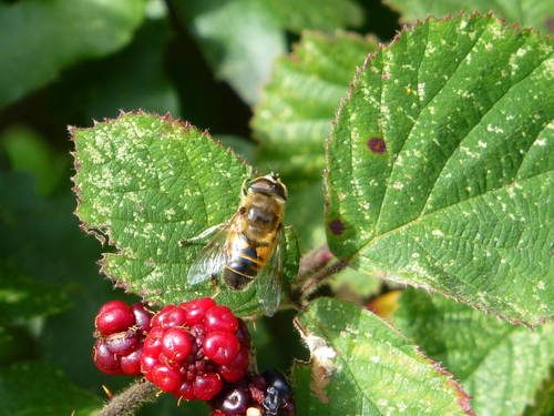
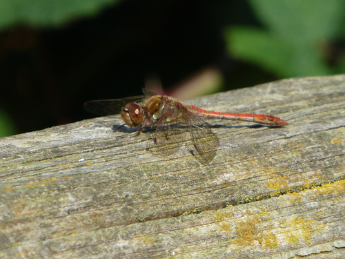
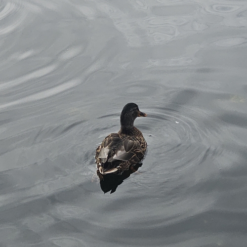
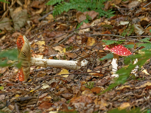
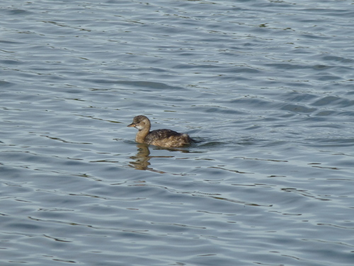
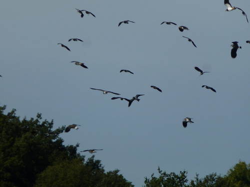
Research-grade observations from iNaturalist (within ~15 mi).
Events
Gallery
Official Identifiers
ONS — UK Office for National Statistics
- ONS code
- osgb4000000074558874
- Local type
- Town
- Region
- North West
api.postcodes.io / OS Open Names
Sources
- • Wikipedia
- • Open-Meteo (ERA5 reanalysis)
- • Wikidata
- • USGS Earthquake Catalog (global feed)
- • GBIF (Global Biodiversity Information Facility)
- • iNaturalist
- • Open-Meteo / sunrise-sunset.org
- • Wikipedia Pageviews API
- • Open Library
- • Wikidata SPARQL (CC0) — population, area, elevation, inception, head of government, Commons image
- • ONS / OS Open Names — UK official place gazetteer, via api.postcodes.io (OS code, local type, county/unitary, district/borough, region)
- • ONS — UK Office for National Statistics — api.postcodes.io / OS Open Names