Browse / United Kingdom / England / Wednesfield
Wednesfield
Englandtown

Wednesfield
Demographic figures from UK Office for National Statistics. Overview below cites Wikipedia and may reference a different year.
City facts
Overview
Wednesfield is a town and historic village in the City of Wolverhampton, in the county of the West Midlands, England; it was historically within the county of Staffordshire. It is 2 miles (3.2 km) east-north-east of Wolverhampton city centre and about 10 miles (16 km) from Birmingham. Local areas include Ashmore Park and Wood End. There is a formal garden at Wednesfield Park.
Read more on WikipediaHistory & geography
History
On 5 August 910, the allied forces of Mercia and Wessex defeated an army of Northumbrian Vikings in the Battle of Tettenhall (sometimes called the Battle of Wednesfield or Wōdnesfeld). Wednesfield was formerly known for making all kinds of traps, from mousetraps to mantraps and locks. Many of the factories that dominated the area have been cleared to make way for houses and other buildings. {| class="wikitable" style="font-size:85%;width:90%;border:0px;text-align:center;line-height:120%;margin:1em auto;" | colspan="19" style="text-align:center;"|Historical population of Wednesfield |- ! style="background: #99CCCC; color: #000080" height="17" | Year ! style="background: #FFFFFF; color:#000080;" | 1801 ! style="background: #FFFFFF; color:#000080;" | 1811 ! style="background: #FFFFFF; color:#000080;" | 1821 ! style="background: #FFFFFF; color:#000080;" | 1831 ! style="background: #FFFFFF; color:#000080;" | 1841 ! style="background: #FFFFFF; color:#000080;" | 1851 ! style="background: #FFFFFF; color:#000080;" | 1861 ! style="background: #FFFFFF; color:#000080;" | 1871 ! style="background: #FFFFFF; color:#000080;" | 1881 ! style="background: #FFFFFF; color:#000080;" | 1891 ! style="background: #FFFFFF; color:#000080;" | 1901 ! style="background: #FFFFFF; color:#000080;" | 1911 ! style="background: #FFFFFF; color:#000080;" | 1921 ! style="background: #FFFFFF; color:#000080;" | 1931 ! style="background: #FFFFFF; color:#000080;" | 1939 ! style="background: #FFFFFF; color:#000080;" | 1951 ! style="background: #FFFFFF; color:#000080;" | 1961 ! style="background: #FFFFFF; color:#000080;" | 2001 |- Align="center" ! style="background: #99CCCC; color: #000080" height="17" | Population | style="background: #FFFFFF; color: black;" | 1,088 | style="background: #FFFFFF; color: black;"…
Geography
Wednesfield lies at (52.5998°, −2.0827°) and is located to the north-east of Wolverhampton city centre on the northern fringe of the West Midlands conurbation. It was historically part of the county of Staffordshire and, since 1974, has been part of the West Midlands metropolitan county. The south of the town lies over coal measures whilst the town centre has dolerite deposits; the area to the north lies over mudstone and sandstone. The town lies on generally flat land between 130m and 140m above sea level, rising to around 170m in the north. There are no navigable rivers within the town, although the original course of the River Tame crossed the south-east of the town.
Excerpted from the corresponding Wikipedia article (CC BY-SA).
Geography
Coordinates & boundaries from the US Census TIGER/Line shapefiles.
Climate
Air quality
Walkability
Amenities nearby
Wildlife & biodiversity
Earthquake history
Photos
Sights & places nearby
Notable people from here


People born within ~10 km, from Wikidata (CC0). Click any name for their Wikipedia article.
Geography & sun
Elevation, sunrise/sunset and daylight from Open-Meteo. Solar climatology from NASA POWER.
Nearby airports
Public attention
Pageview totals from the Wikimedia Pageviews API.
Books about Wednesfield
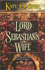
Search results from Open Library.
Recent natural events nearby
Ground air-quality sensors
Recently spotted species
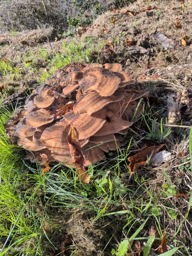
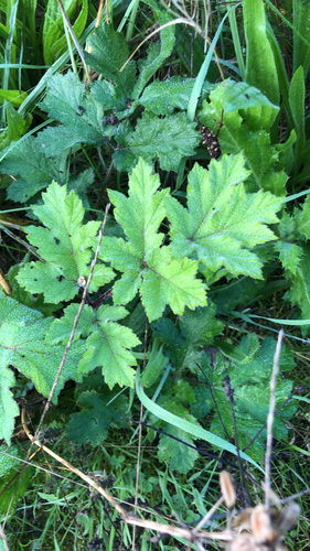
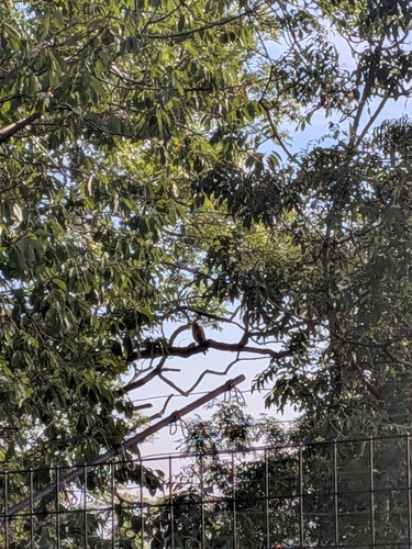
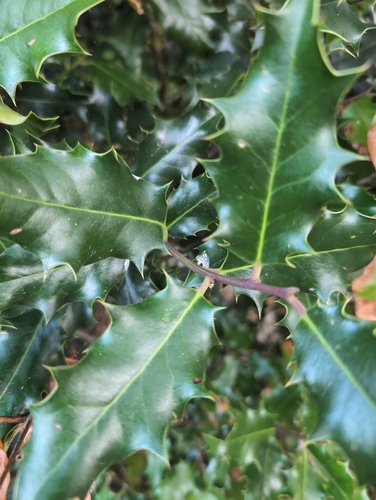
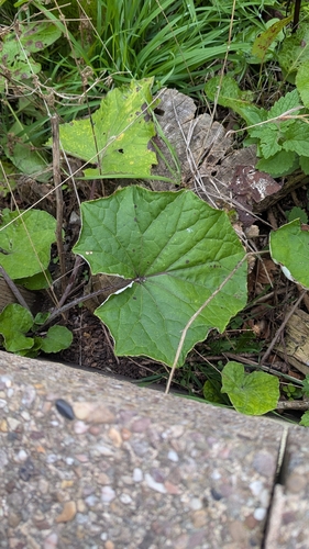
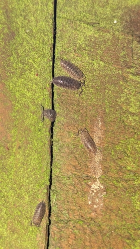
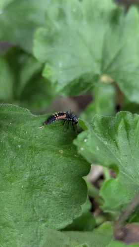
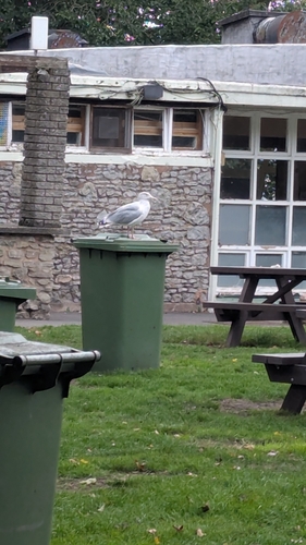
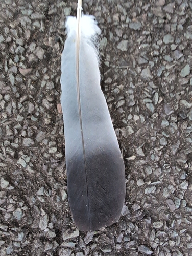
Research-grade observations from iNaturalist (within ~15 mi).
Events
Gallery
Sources
- • Wikipedia
- • Wikidata
- • iNaturalist
- • Open-Meteo / sunrise-sunset.org
- • Wikipedia Pageviews API
- • Open Library