Browse / United Kingdom / England / Wigan
Wigan
Englandtown

Wigan
Total population
81,203
Demographic figures from UK Office for National Statistics. Overview below cites Wikipedia and may reference a different year.
City facts
Sister cities
Facts from Wikidata (CC0).
Overview
Wigan is a town in Greater Manchester, England. The town lies midway between the cities of Manchester, 16 miles (25.7 km) to the south-east, and Liverpool, 17 miles (27 km) to the south-west. It is the largest settlement in the Metropolitan Borough of Wigan and is its administrative centre. The town has a population of 107,732 and the wider borough of 330,714. Wigan was part of the historic county of Lancashire.
Read more on WikipediaHistory & geography
History
The name of the town has been recorded variously as in 1199, in 1240 and Wygan in numerous historical documents. The name Wigan is probably a Celtic place-name; it might be a diminutive form of Brittonic 'homestead, settlement" (later Welsh ), plus the nominal suffix -an (compare with numerous places in France named Le Vigan); the place name may refer to a Latin . It has also been suggested directly a Celtic personal name Wigan, a name corresponding to Gaulish , Old Welsh or Old Breton . Similar place-names to the English Wigan exist in France, such as Le Vigan, Gard (, Roman inscription; 1050) of unknown origin and Le Vigan, Lot, from Latin , derived form of 'town' + suffix , and the hamlets in Normandy such as (Le) Vigan (L'Oudon, Calvados) and Manoir du Vigan that derive from a Celtic given-name *Wigan, found as in the 12th century or at Thaon (Calvados) and survives in the Norman surname Vigan (still in use in Calvados). There is very little evidence of prehistoric activity in the area, especially pre-Iron Age. In the 1st century, the area was conquered by the Romans during which time, it was in the territory of a Celtic people known as the Brigantes. Possible derivations of Coccium include from the Latin coccum, meaning "scarlet in colour, scarlet cloth", or from cocus, meaning "cook". Over the years chance finds (coins and pottery) provided clear indications that a Roman settlement existed at Wigan, although its size and status remained unknown. In 2005, investigations ahead of the Grand Arcade development, and at the Joint Service Centre development in 2008, have proven that Wigan was a significant Roman site in the late first and second centuries AD. The excavated remains of ditches at Ship Yard off Millgate were consistent with use by the Roman…
Geography
Wigan lies to the west and north of Hindley and Ashton-in-Makerfield, and is about north-west of Manchester city centre, west of Bolton and north of Warrington. The historic town of Wigan forms a tightly integrated conurbation along with the Metropolitan Borough of Wigan districts of Orrell and Ince-in-Makerfield; this is connected by ribbon development to Standish and Abram. These areas, together with the West Lancashire town of Skelmersdale, are defined by the Office for National Statistics as the Wigan Urban Area, with a total population of 166,840. The town is part of the Manchester Larger Urban Zone.
Excerpted from the corresponding Wikipedia article (CC BY-SA).
Geography
Coordinates & boundaries from the US Census TIGER/Line shapefiles.
Climate
Air quality
Walkability
Amenities nearby
Wildlife & biodiversity
Earthquake history
Photos
Sights & places nearby
Notable people from here
Nearby places in England
Geography & sun
Nearby airports
Public attention
Books about this place
Recent natural events nearby
Ground air-quality sensors
Recently spotted species
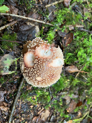
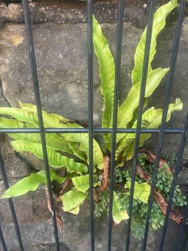
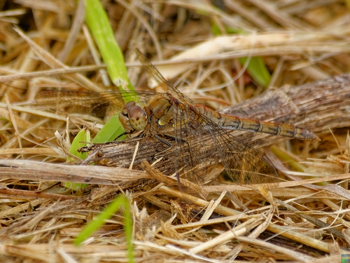

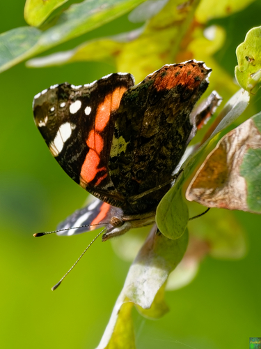
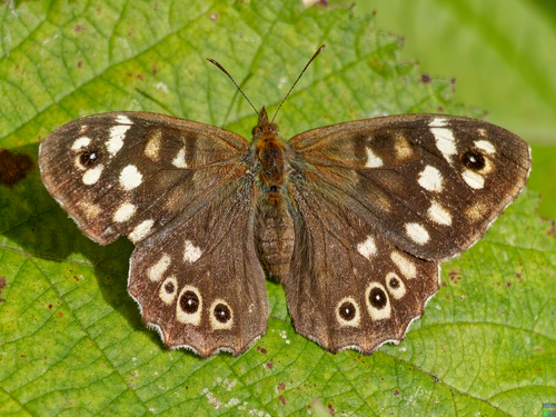
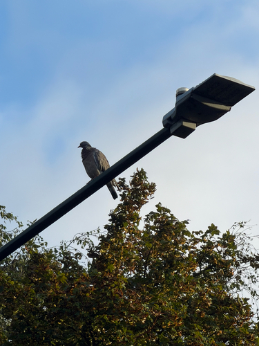
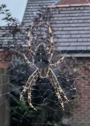
Research-grade observations from iNaturalist (within ~15 mi).
Events
Gallery
Official Identifiers
ONS — UK Office for National Statistics
- ONS code
- osgb4000000074548561
- Local type
- Town
- Region
- North West
api.postcodes.io / OS Open Names
Sources
- • Wikipedia
- • Wikidata
- • iNaturalist
- • Wikidata SPARQL (CC0) — population, area, elevation, inception, head of government, Commons image
- • ONS / OS Open Names — UK official place gazetteer, via api.postcodes.io (OS code, local type, county/unitary, district/borough, region)
- • ONS — UK Office for National Statistics — api.postcodes.io / OS Open Names