Browse / United Kingdom / Scotland / Winchburgh
Winchburgh
Scotlandtown

Winchburgh
Total population
4,283
Demographic figures from UK Office for National Statistics. Overview below cites Wikipedia and may reference a different year.
City facts
Overview
Winchburgh is a town in Scotland. It is located approximately ten miles west of the city centre of Edinburgh, six miles east of Linlithgow and three miles northeast of Broxburn.
Read more on WikipediaHistory & geography
History
Archaeological excavations in 2013 in advance of the construction of a housing development by CFA Archaeology found the remains of a sub-circular double-ditched enclosure. Not many artefacts were found and radiocarbon dates from waterlogged wood and animal bone were between 1600–200 BC, indicating the people had been living or working in Winchburgh at least a thousand years before the earliest records of the town. There has been a settlement in Winchburgh for over one thousand years. Early spellings include Wincelburgh (1189); Wynchburghe (1377); from 'wincel' and 'burh' meaning 'Town in the nook or angle'. It is possible that it was named after the bend in the Niddry Burn that runs through the town. The early settlement was probably near to Niddry Castle. After the Battle of Bannockburn in 1314, Sir James Douglas followed King Edward II and the remnants of his army to Winchburgh. Both sides rested at Winchburgh before riding on to Dunbar, where King Edward took ship for England. Auldcathie is an historic parish and ruined pre-reformation church that lies on the western edge of Winchburgh. In 1568, Mary, Queen of Scots, escaped from Loch Leven Castle, and was met by Lord Seton, before crossing the Firth of Forth from South Queensferry. Mary stayed at Niddry Castle, Seton's property in Winchburgh, on 2 May 1568. From the 1600s to the 1860s, Winchburgh was a small hamlet, which other than a few houses contained an inn and staging post. In the 19th century, Winchburgh had a thriving oil shale mining industry, the remnants of which are the distinctive red "shale bings", large hill forms, created by the deposition composed of used shale. The late 19th century saw the development of several dozen miners' rows, built in redstone and on an interlocking L-plan to the…
Excerpted from the corresponding Wikipedia article (CC BY-SA).
Geography
Coordinates & boundaries from the US Census TIGER/Line shapefiles.
Climate
Air quality
Walkability
Amenities nearby
Wildlife & biodiversity
Earthquake history
Photos
Sights & places nearby
Notable people from here


People born within ~10 km, from Wikidata (CC0). Click any name for their Wikipedia article.
Nearby places in Scotland
Geography & sun
Elevation, sunrise/sunset and daylight from Open-Meteo. Solar climatology from NASA POWER.
Nearby airports
Public attention
Pageview totals from the Wikimedia Pageviews API.
Books about Winchburgh
Search results from Open Library.
Recent natural events nearby
Ground air-quality sensors
Recently spotted species
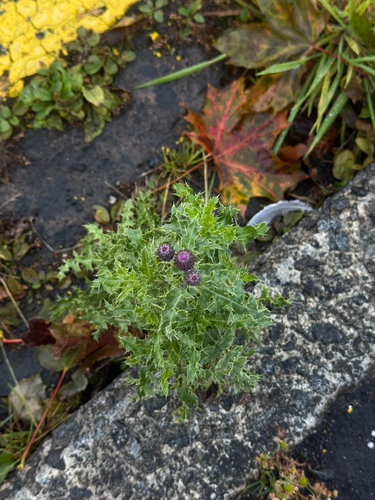
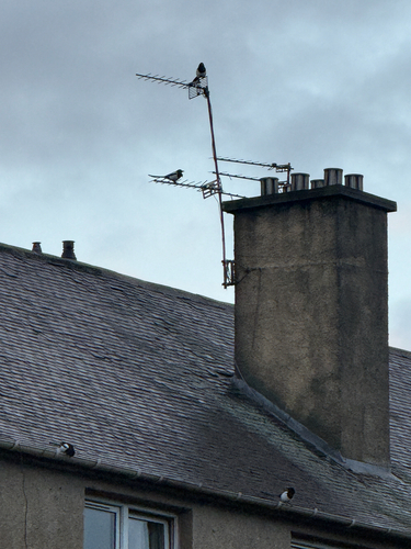
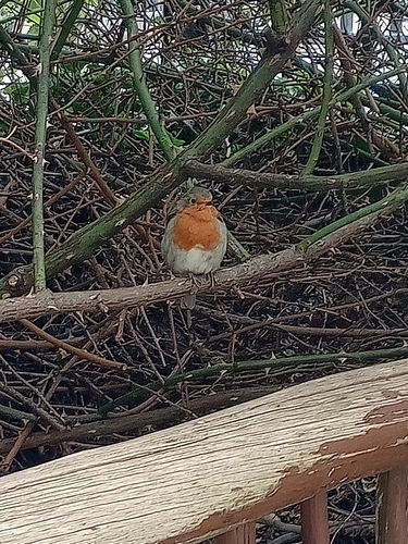
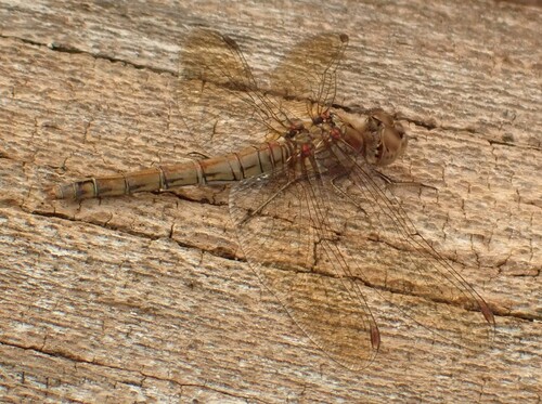
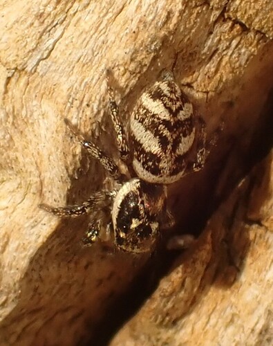
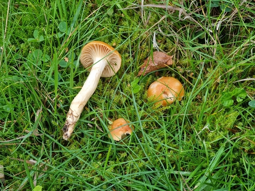
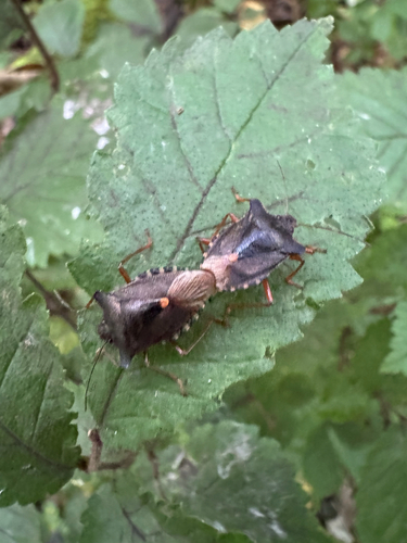
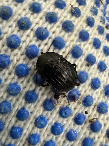
Research-grade observations from iNaturalist (within ~15 mi).
Events
Gallery
Official Identifiers
ONS — UK Office for National Statistics
- ONS code
- osgb4000000074557196
- Local type
- Village
- Region
- Scotland
api.postcodes.io / OS Open Names
Sources
- • Wikipedia
- • Wikidata
- • iNaturalist
- • Open-Meteo / sunrise-sunset.org
- • Wikipedia Pageviews API
- • Open Library
- • ONS / OS Open Names — UK official place gazetteer, via api.postcodes.io (OS code, local type, county/unitary, district/borough, region)
- • ONS — UK Office for National Statistics — api.postcodes.io / OS Open Names