Browse / United States / Utah / Alta
Alta
Utahtown

Alta
Total population
284
Median home value
$2,000,001
Bachelor's+
Median income
$0
Air quality index
Demographic figures from US Census Bureau · ACS 5-year estimates. Overview below cites Wikipedia and may reference a different year.
City facts
Overview
Alta is a town in eastern Salt Lake County, Utah, United States. It is part of the Salt Lake City, Utah Metropolitan Statistical Area. The population was 228 at the 2020 census, a large decrease from the 2010 figure of 383.
Read more on WikipediaHistory & geography
History
Alta has been important to the development of skiing in Utah. Alta was founded about 1865 to house miners from the Emma mine, the Flagstaff mine, and other silver mines in Little Cottonwood Canyon. Sensationally rich silver ore in the Emma mine enabled its owners to sell the mine at an inflated price to British investors in 1871. The subsequent exhaustion of the Emma ore body led to the recall of the American ambassador to Great Britain, who was a director of the company, and to Congressional hearings in Washington DC on the transaction. An alleged incident that occurred in the town in 1873 was adapted by Rod Serling for the episode entitled "Mr. Garrity and the Graves" of his television series The Twilight Zone. The legend was also used as the basis for an episode of Death Valley Days, entitled “Miracle at Boot Hill” (S10 E10). An 1878 fire and an 1885 avalanche destroyed most of the original mining town, though some mining activity persisted into the 20th century. By the 1930s, only one resident, George Watson, remained in the town. Facing back taxes on mining claims that he owned, Watson donated much of his land in Alta to the U.S. Forest Service, stipulating that the land be used to construct a ski area. In 1935, Norwegian skiing legend Alf Engen was hired to help develop the area, and Alta opened its first ski lift in 1938. By the end of the twentieth century, up to 7,000 people per day could be found on the Alta slopes, and traffic in the Little Cottonwood Canyon was nearing gridlock proportions. Today, Alta is a small town centered around the Alta Ski Area. During the COVID-19 pandemic and subsequent government-mandated economic restrictions, Alta briefly gained national attention when it was the only ski resort included in a detailed study of…
Geography
According to the United States Census Bureau, the town has a total area of 4.1 square miles (10.5 km2), of which 0.25% is water. At , Alta is one of the highest cities in Utah and one of the highest in America.
Excerpted from the corresponding Wikipedia article (CC BY-SA).
Demographics & economy
Race & ethnicity
Source: US Census Bureau — American Community Survey, 5-year estimates.
Geography
Coordinates & boundaries from the US Census TIGER/Line shapefiles.
Climate
Current forecast
Forecast for Alta, UT from NOAA NWS API.
Air quality
Current readings from Open-Meteo Air Quality API (Copernicus CAMS European reanalysis).
Industrial & pollution facilities
Natural hazard risk
Health (adults)
Age-adjusted prevalence estimates from CDC PLACES (latest release).
Walkability
Amenities nearby
Wildlife & biodiversity
Most-observed species
- American RobinTurdus migratorius Linnaeus, 1766 · Aves17,371
- House FinchHaemorhous mexicanus (P.L.Statius Müller, 1776) · Aves16,776
- Black-capped ChickadeePoecile atricapillus (Linnaeus, 1766) · Aves15,851
- Song SparrowMelospiza melodia (A.Wilson, 1810) · Aves13,149
- Mourning DoveZenaida macroura (Linnaeus, 1758) · Aves10,998
- Black-billed MagpiePica hudsonia (Sabine, 1823) · Aves10,817
- Lesser GoldfinchSpinus psaltria (Say, 1822) · Aves10,687
- Dark-eyed JuncoJunco hyemalis (Linnaeus, 1758) · Aves10,163
Citizen-science & research observations from the Global Biodiversity Information Facility (GBIF).
Schools
Largest nearby schools
- Canyon View SchoolElementary · Salt Lake City · 500 students · 23.8:1 ratio
- Granite SchoolElementary · SANDY · 355 students · 19.7:1 ratio
- Goldminer's DaughterElementary · ALTA · 5 students
Public K–12 schools within ~10 mi from Urban Institute Education Data Portal (NCES Common Core of Data, 2022).
Earthquake history
Most recent
- M 2.86 — 2026-08-076 km NNW of Saratoga Springs, Utah
- M 3.52 — 2026-02-144 km NNW of West Valley City, Utah
- M 3.5 — 2026-02-056 km WNW of Lehi, Utah
- M 2.71 — 2026-02-0541 km ENE of Oakley, Utah
- M 2.97 — 2026-01-2241 km SSE of Evanston, Wyoming
- M 4.65 — 2026-01-2240 km S of Evanston, Wyoming
Events from the USGS Earthquake Catalog (global) (FDSN Event Web Service).
Photos
Sights & places nearby
Notable people from here
Nearby places in Utah
Geography & sun
Elevation, sunrise/sunset and daylight from Open-Meteo. Solar climatology from NASA POWER.
Nearby airports
Public attention
Pageview totals from the Wikimedia Pageviews API.
Books about Alta

Search results from Open Library.
Recent natural events nearby
- Wildfire Rocky Canyon, Morgan, UtahWildfires · 2026-08-07 · 25 mi
- Wildfire Brushy Canyon, Box Elder, UtahWildfires · 2026-08-27 · 66 mi
- Wildfire Tom Creek, Tooele, UtahWildfires · 2026-08-24 · 70 mi
- Wildfire Black Canyon, Sanpete, UtahWildfires · 2026-07-30 · 85 mi
- Wildfire Johnson Canyon, Box Elder, UtahWildfires · 2026-08-01 · 96 mi
- Wildfire Salt Wells, Box Elder, UtahWildfires · 2026-08-21 · 101 mi
- Wildfire Slough Canyon, Grand, UtahWildfires · 2026-08-15 · 123 mi
- Wildfire Widemouth 2, Millard, UtahWildfires · 2026-07-27 · 136 mi
Wildfires, storms and other events from NASA EONET (last 12 months, within 250 mi).
Ground air-quality sensors
Recently spotted species
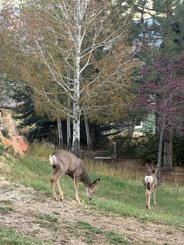
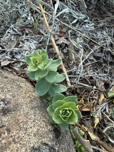
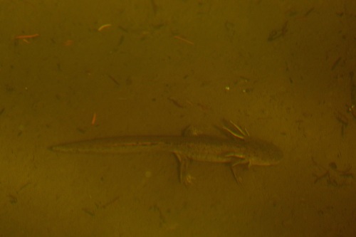
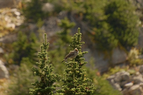
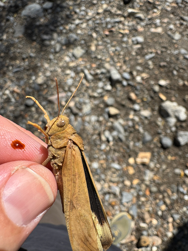
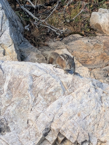
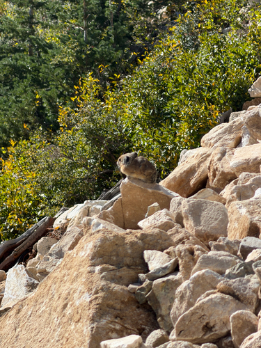
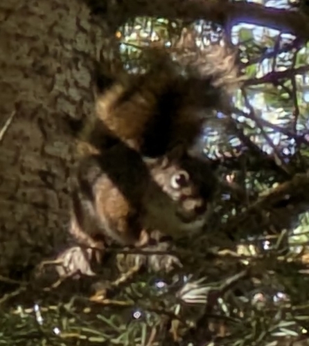
Research-grade observations from iNaturalist (within ~15 mi).
Nearest stream gauge
Events
Gallery
Sources
- • Wikipedia
- • US Census Bureau (ACS 5-year estimates)
- • NOAA National Weather Service
- • Wikidata
- • Open-Meteo Air Quality (CAMS)
- • USGS Earthquake Catalog (global feed)
- • NCES via Urban Institute Education Data Portal
- • GBIF (Global Biodiversity Information Facility)
- • iNaturalist
- • CDC PLACES
- • Open-Meteo / sunrise-sunset.org
- • Wikipedia Pageviews API
- • Open Library
- • NASA EONET