Browse / United States / Utah / Clawson
Clawson
Utahtown

Clawson
Total population
197
Median home value
$234,600
Bachelor's+
Median income
$75,250
Founded
1897
Demographic figures from US Census Bureau · ACS 5-year estimates. Overview below cites Wikipedia and may reference a different year.
City facts
Facts from Wikidata (CC0).
Overview
Clawson is a town in Emery County, Utah, United States. The population was 163 at the 2020 census. The community was named after Rudger Clawson, a Mormon leader.
Read more on WikipediaHistory & geography
History
A canal to carry water from Ferron Creek was completed in 1896. Before being settled, the area was known as North Flat. In 1897, the first settlers arrived, calling the community "Kingsville" after Guy King, who was one of the original settlers. The first school was opened in 1898 in the home of Guy King, with Florence Barney as the teacher. She rode on horseback each day to the school. In 1902, the President of the Emery Stake, Reuben C. Miller, sent the bishopric of Ferron to select a permanent spot for the town of Kingsville. There were two candidate locations: the homesteads and the Westingkow farm west of that. The bishop decided it should be near the Westingkow farm because the lay of the land suggested that the old location could become swampy. Although the settlers initially disagreed, they consented, purchased the Westingkow farm, and moved their log cabins two miles to the west. On October 25, 1904, LDS Church Apostle Rudger Clawson of the Quorum of the Twelve Apostles came and organized a ward. The town's name was changed from Kingsville to Clawson in his honor. After decades of existing as an unincorporated community, Clawson was incorporated as a town in 1981.
Geography
Clawson is located in northwestern Emery County along Utah State Route 10. It is southwest of Castle Dale, the county seat, and northeast of Ferron. According to the United States Census Bureau, the town of Clawson has a total area of , all land. Large seasonal temperature differences typify this climatic region, with warm to hot (and often humid) summers and cold (sometimes severely cold) winters. According to the Köppen Climate Classification system, Clawson has a humid continental climate, abbreviated "Dfb" on climate maps.
Excerpted from the corresponding Wikipedia article (CC BY-SA).
Demographics & economy
Race & ethnicity
Source: US Census Bureau — American Community Survey, 5-year estimates.
Geography
Coordinates & boundaries from the US Census TIGER/Line shapefiles.
Climate
Current forecast
Forecast for Clawson, UT from NOAA NWS API.
Air quality
Industrial & pollution facilities
Natural hazard risk
Health (adults)
Age-adjusted prevalence estimates from CDC PLACES (latest release).
Walkability
Amenities nearby
Wildlife & biodiversity
Most-observed species
- Common RavenCorvus corax Linnaeus, 1758 · Aves103
- American RobinTurdus migratorius Linnaeus, 1766 · Aves102
- House SparrowPasser domesticus (Linnaeus, 1758) · Aves92
- House FinchHaemorhous mexicanus (P.L.Statius Müller, 1776) · Aves88
- Black-billed MagpiePica hudsonia (Sabine, 1823) · Aves86
- European StarlingSturnus vulgaris Linnaeus, 1758 · Aves84
- Eurasian Collared-DoveStreptopelia decaocto (Frivaldszky, 1838) · Aves77
- Dark-eyed JuncoJunco hyemalis (Linnaeus, 1758) · Aves69
Citizen-science & research observations from the Global Biodiversity Information Facility (GBIF).
Schools
Earthquake history
Most recent
- M 2.69 — 2026-09-2715 km E of Kenilworth, Utah
- M 3.96 — 2026-03-1029 km ENE of Torrey, Utah
- M 2.81 — 2026-02-227 km SW of Clear Creek, Utah
- M 2.54 — 2026-01-0627 km W of Emery, Utah
- M 3.05 — 2025-05-249 km NNE of Scipio, Utah
- M 2.63 — 2025-04-1318 km WNW of Emery, Utah
Events from the USGS Earthquake Catalog (global) (FDSN Event Web Service).
Photos
Sights & places nearby
Notable people from here
People born within ~10 km, from Wikidata (CC0). Click any name for their Wikipedia article.
Nearby places in Utah
Geography & sun
Elevation, sunrise/sunset and daylight from Open-Meteo. Solar climatology from NASA POWER.
Nearby airports
Public attention
Pageview totals from the Wikimedia Pageviews API.
Books about Clawson



Search results from Open Library.
Recent natural events nearby
- Wildfire Black Canyon, Sanpete, UtahWildfires · 2026-07-30 · 21 mi
- Wildfire Slough Canyon, Grand, UtahWildfires · 2026-08-15 · 65 mi
- Wildfire Tom Creek, Tooele, UtahWildfires · 2026-08-24 · 105 mi
- Wildfire Rocky Canyon, Morgan, UtahWildfires · 2026-08-07 · 128 mi
- Wildfire Brushy Canyon, Box Elder, UtahWildfires · 2026-08-27 · 166 mi
- Wildfire 310, Garfield, ColoradoWildfires · 2026-08-06 · 168 mi
- Prescribed Fire Bear River MBR Unit 2c RX, Box Elder, UtahWildfires · 2026-09-18 · 174 mi
- Wildfire Johnson Canyon, Box Elder, UtahWildfires · 2026-08-01 · 200 mi
Wildfires, storms and other events from NASA EONET (last 12 months, within 250 mi).
Ground air-quality sensors
Recently spotted species
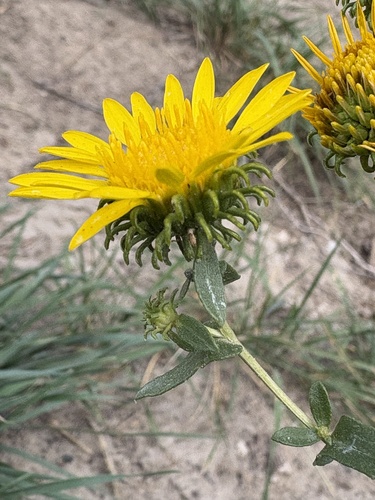
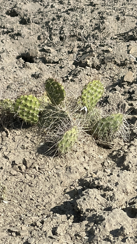
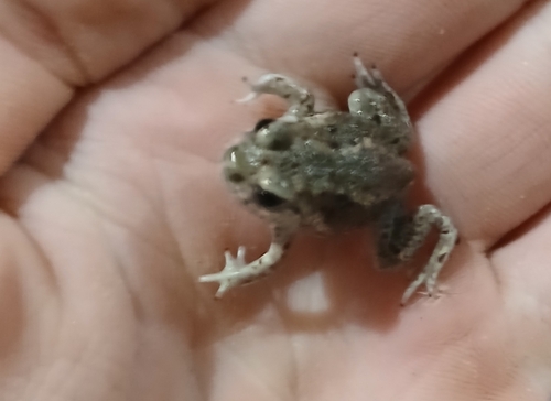
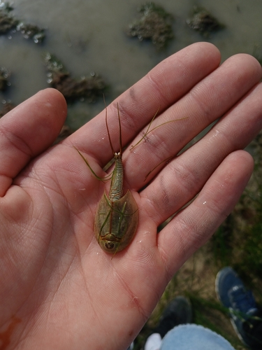
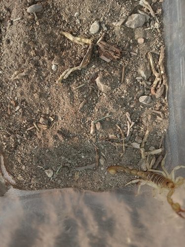
Research-grade observations from iNaturalist (within ~15 mi).
Nearest stream gauge
Events
Gallery
Sources
- • Wikipedia
- • US Census Bureau (ACS 5-year estimates)
- • NOAA National Weather Service
- • Wikidata
- • USGS Earthquake Catalog (global feed)
- • GBIF (Global Biodiversity Information Facility)
- • iNaturalist
- • CDC PLACES
- • Open-Elevation
- • Open-Meteo / sunrise-sunset.org
- • Wikipedia Pageviews API
- • Open Library
- • NASA EONET