Browse / United States / Utah / Coalville
Coalville
Utahcity

Coalville
Total population
1,881
Median home value
$462,200
Bachelor's+
Median income
$95,729
Founded
1859
Demographic figures from US Census Bureau · ACS 5-year estimates. Overview below cites Wikipedia and may reference a different year.
City facts
Facts from Wikidata (CC0).
Overview
Coalville is a city in and the county seat of Summit County, Utah, United States. It is part of the Salt Lake City metropolitan area. The population was 1,486 as of the 2020 census. Interstate 80 passes through the town, as well as the Weber River, which flows into Echo Reservoir, just north of Coalville.
Read more on WikipediaHistory & geography
History
Coalville originally began as a settlement known as Chalk Creek. In 1856 Brigham Young, president of the Church of Jesus Christ of Latter-day Saints (LDS Church), awarded hundreds of acres of farmland to trailblazer and trusted bodyguard "Return" Jackson Redden. Redden first visited the valley around 1846 while scouting trail ahead of the advance of Mormon pioneers. The first recorded settlement was Redden's ranch, spanning from 100 N. Main Street to beyond the Coalville City Cemetery where he is buried. In 1854, the territorial government in Utah offered a $1000 reward to anyone who could find coal within 40 miles of Salt Lake City. Four years later, Redden and associate Thomas Rhodes found a coal vein in the Chalk Creek area, and coal mining began in earnest. Hundreds of tons of coal were shipped to Salt Lake City, and soon a narrow gauge railroad was built. The settlement was then renamed Coalville, as a result of this early success. Coalville was officially founded by William Henderson Smith, an early Mormon freighter. He noticed that wheat, spilled by other wagons moving through the area, would grow to maturity without being tended. In 1859, he signed Coalville into official township. Early life in Coalville was difficult, and during winters, the settlers dealt with a constant scarcity of food. When food ran out, they would travel to Salt Lake City for supplies. The local Indian tribes were also hostile for a time, and the settlers built a fort on the advice of Brigham Young. In 1867, Coalville was incorporated. By 1880, success in the coal industry led to the extension of the railroad into Park City. Then known as the Summit County Railway, the railroad continued to transport coal and was also used for Park City's silver mines. Unlike most Mormon settlements…
Geography
According to the United States Census Bureau, the city has a total area of , of which is land and (12.27%) is water. Coalville has a high-altitude, warm-summer humid continental climate (Köppen Dfb) that borders a subarctic climate (Dfc), characterized by extreme diurnal temperature ranges that range from extremely cold winter nights to hot afternoons in the summer. However, the high altitude and low humidity mean that mornings in the summer remain very cool, and frosts have occasionally occurred—even in July. Precipitation is moderate throughout the year, though with a minimum in summer, and snow accumulation is generally heavy due to the very cold nights between November and March, with a median of for the year. Coalville is located at the intersection of two narrow valleys—formed by Chalk Creek and the Weber River. Like other valley locations in northern Utah, Coalville experiences pronounced temperature inversions associated with high-pressure systems during winter months, with low temperatures below 0 °F relatively common. Owing to this localized phenomenon, observed low temperatures are often significantly lower than those forecasted by national agencies.
Excerpted from the corresponding Wikipedia article (CC BY-SA).
Demographics & economy
Race & ethnicity
Source: US Census Bureau — American Community Survey, 5-year estimates.
Geography
Coordinates & boundaries from the US Census TIGER/Line shapefiles.
Climate
Current forecast
Forecast for Coalville, UT from NOAA NWS API.
Air quality
Industrial & pollution facilities
Natural hazard risk
Health (adults)
Age-adjusted prevalence estimates from CDC PLACES (latest release).
Walkability
Amenities nearby
Wildlife & biodiversity
Most-observed species
- Black-billed MagpiePica hudsonia (Sabine, 1823) · Aves5,104
- American RobinTurdus migratorius Linnaeus, 1766 · Aves3,562
- MallardAnas platyrhynchos Linnaeus, 1758 · Aves3,439
- Canada Goose (canadensis Group)Branta canadensis (Linnaeus, 1758) · Aves2,795
- Common RavenCorvus corax Linnaeus, 1758 · Aves2,487
- Red-tailed HawkButeo jamaicensis (Gmelin, 1788) · Aves2,169
- Bald EagleHaliaeetus leucocephalus (Linnaeus, 1766) · Aves2,168
- European StarlingSturnus vulgaris Linnaeus, 1758 · Aves2,013
Citizen-science & research observations from the Global Biodiversity Information Facility (GBIF).
Schools
Largest nearby schools
- North Summit SchoolElementary · COALVILLE · 364 students · 16.5:1 ratio
- North Summit MiddleMiddle · COALVILLE · 334 students · 20.9:1 ratio
- North Summit HighHigh · COALVILLE · 328 students · 16.4:1 ratio
- North Summit PreschoolOther · COALVILLE · 27 students
Public K–12 schools within ~10 mi from Urban Institute Education Data Portal (NCES Common Core of Data, 2022).
Earthquake history
Most recent
- M 2.86 — 2026-08-076 km NNW of Saratoga Springs, Utah
- M 2.59 — 2026-06-2512 km E of Millville, Utah
- M 3.52 — 2026-02-144 km NNW of West Valley City, Utah
- M 3.5 — 2026-02-056 km WNW of Lehi, Utah
- M 2.71 — 2026-02-0541 km ENE of Oakley, Utah
- M 2.97 — 2026-01-2241 km SSE of Evanston, Wyoming
Events from the USGS Earthquake Catalog (global) (FDSN Event Web Service).
Photos
Sights & places nearby
Notable people from here


People born within ~10 km, from Wikidata (CC0). Click any name for their Wikipedia article.
Nearby places in Utah
- Hoytsville2.9 mi away
- Henefer8.3 mi away
- Marion17.4 mi away · pop. 830
- Kamas19.4 mi away · pop. 2,096
- Enterprise21.2 mi away · pop. 560
- Centerville24.2 mi away · pop. 16,679
- Woodland24.4 mi away
- Mountain Green25.3 mi away
- Woods Cross26 mi away
- Fruit Heights26.6 mi away
- Huntsville30.4 mi away
- Uintah31.2 mi away
Geography & sun
Elevation, sunrise/sunset and daylight from Open-Meteo. Solar climatology from NASA POWER.
Nearby airports
Public attention
Pageview totals from the Wikimedia Pageviews API.
Books about Coalville
Search results from Open Library.
Recent natural events nearby
- Wildfire Rocky Canyon, Morgan, UtahWildfires · 2026-08-07 · 12 mi
- Prescribed Fire Bear River MBR Unit 2c RX, Box Elder, UtahWildfires · 2026-09-18 · 61 mi
- Wildfire Brushy Canyon, Box Elder, UtahWildfires · 2026-08-27 · 61 mi
- Wildfire Johnson Canyon, Box Elder, UtahWildfires · 2026-08-01 · 81 mi
- Wildfire Salt Wells, Box Elder, UtahWildfires · 2026-08-21 · 90 mi
- Wildfire Tom Creek, Tooele, UtahWildfires · 2026-08-24 · 92 mi
- Wildfire Black Canyon, Sanpete, UtahWildfires · 2026-07-30 · 105 mi
- Wildfire Slough Canyon, Grand, UtahWildfires · 2026-08-15 · 132 mi
Wildfires, storms and other events from NASA EONET (last 12 months, within 250 mi).
Ground air-quality sensors
Recently spotted species
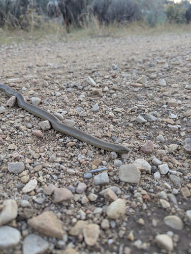
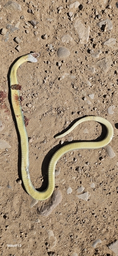
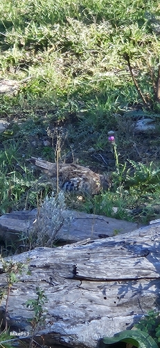
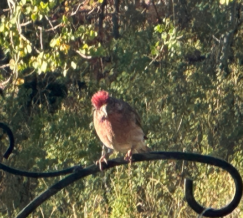
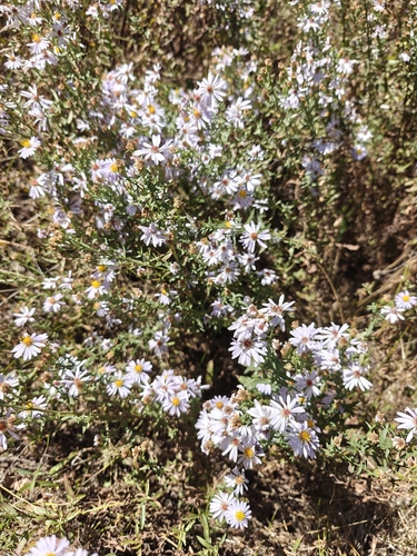
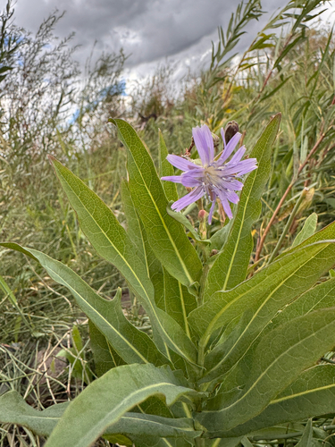
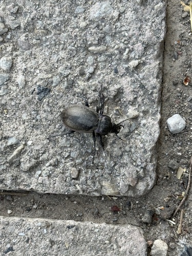
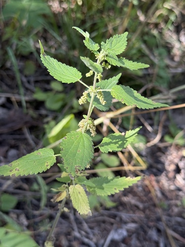
Research-grade observations from iNaturalist (within ~15 mi).
Nearest stream gauge
Events
Gallery
Sources
- • Wikipedia
- • US Census Bureau (ACS 5-year estimates)
- • NOAA National Weather Service
- • Wikidata
- • USGS Earthquake Catalog (global feed)
- • NCES via Urban Institute Education Data Portal
- • GBIF (Global Biodiversity Information Facility)
- • iNaturalist
- • CDC PLACES
- • Open-Meteo / sunrise-sunset.org
- • Wikipedia Pageviews API
- • Open Library
- • NASA EONET