Browse / United States / Utah / Deweyville
Deweyville
Utahtown

Deweyville
Total population
415
Median home value
$484,100
Bachelor's+
Median income
$88,750
Founded
1864
Demographic figures from US Census Bureau · ACS 5-year estimates. Overview below cites Wikipedia and may reference a different year.
City facts
Facts from Wikidata (CC0).
Overview
Deweyville is a town in Box Elder County, Utah, United States. The population was 417 at the 2020 census, up from the 2010 figure of 332.
Read more on WikipediaHistory & geography
History
On March 14, 1864, the John C. Dewey family, Mormon pioneer immigrants from England, left Calls Fort, Utah, and settled at Empey Springs, an area originally settled by William Empey. Empey Springs became known as Dewey Springs. Other settlers soon moved to the area. John C. Dewey directed many community activities, including the construction of a school house in 1869 and a Sunday school in 1872. The schoolhouse served as a community center where dances were commonly held. A post office was established in 1873, with John C. Dewey as the Postmaster. In 1877, a LDS Church Ward was organized, with John C. Dewey as Bishop. Deweyville was a stop on the Utah Northern Railroad. The Oregon Short Line Railroad took over the Utah Northern Line in 1874 and converted the tracks to standard gauge. The town served as the main shipping point for the Bear River Valley until 1901. This, along with the construction of the Bothwell and Hammond Canals, contributed to significant business development. Saloons, a brewery, two boarding houses, a barber shop, and lumber, hardware, and merchandise businesses were opened. On March 7, 1939, Deweyville was granted a municipal charter by the Box Elder County. In 1941, a water system was installed. This was one of the last Public Works Administration projects completed in Utah.
Geography
According to the United States Census Bureau, the town has a total area of , all land. Much of what the local population refers to as Deweyville is actually land outside the town boundaries, located in unincorporated Box Elder County. This includes the Cedar Ridge Subdivision, a 26-house development located 1.6 miles north of incorporated Deweyville. The town is also known for its unique location adjacent to the Wasatch Range - the steepest mountain range in the country based on the height-to-base ratio. The Deweyville portion of the western slopes of the Wasatch is home to several notable geologic and natural destinations, including Gribble Arch, Lizzy's Landing, The Easter Caves, and The Cedar Trees. Chocolate Peak in northern Deweyville was the location of numerous winter Hillclimb attempts in the late 20th and early 21st centuries.
Excerpted from the corresponding Wikipedia article (CC BY-SA).
Demographics & economy
Race & ethnicity
Source: US Census Bureau — American Community Survey, 5-year estimates.
Geography
Coordinates & boundaries from the US Census TIGER/Line shapefiles.
Climate
Current forecast
Forecast for Deweyville, UT from NOAA NWS API.
Air quality
Industrial & pollution facilities
Natural hazard risk
Health (adults)
Walkability
Amenities nearby
Wildlife & biodiversity
Most-observed species
- Canada Goose (canadensis Group)Branta canadensis (Linnaeus, 1758) · Aves3,595
- European StarlingSturnus vulgaris Linnaeus, 1758 · Aves3,458
- Red-winged BlackbirdAgelaius phoeniceus (Linnaeus, 1766) · Aves3,395
- MallardAnas platyrhynchos Linnaeus, 1758 · Aves3,386
- Black-billed MagpiePica hudsonia (Sabine, 1823) · Aves3,266
- Red-tailed HawkButeo jamaicensis (Gmelin, 1788) · Aves2,826
- American RobinTurdus migratorius Linnaeus, 1766 · Aves2,553
- Eurasian Collared-DoveStreptopelia decaocto (Frivaldszky, 1838) · Aves2,284
Citizen-science & research observations from the Global Biodiversity Information Facility (GBIF).
Schools
Earthquake history
Most recent
- M 3.23 — 2026-07-236 km WSW of Bennington, Idaho
- M 2.99 — 2026-07-226 km WSW of Bennington, Idaho
- M 2.57 — 2026-07-1115 km W of Paris, Idaho
- M 2.59 — 2026-06-2512 km E of Millville, Utah
- M 2.51 — 2026-06-1625 km NNW of Snowville, Utah
- M 2.6 — 2026-06-152 km ESE of Malad City, Idaho
Events from the USGS Earthquake Catalog (global) (FDSN Event Web Service).
Photos
Sights & places nearby
Notable people from here
Nearby places in Utah
Geography & sun
Elevation, sunrise/sunset and daylight from Open-Meteo. Solar climatology from NASA POWER.
Nearby airports
Public attention
Pageview totals from the Wikimedia Pageviews API.
Books about this place
Recent natural events nearby
- Wildfire Johnson Canyon, Box Elder, UtahWildfires · 2026-08-01 · 17 mi
- Wildfire Salt Wells, Box Elder, UtahWildfires · 2026-08-21 · 31 mi
- Wildfire Brushy Canyon, Box Elder, UtahWildfires · 2026-08-27 · 35 mi
- Wildfire Rocky Canyon, Morgan, UtahWildfires · 2026-08-07 · 57 mi
- Wildfire North Heglar, Cassia, IdahoWildfires · 2026-08-19 · 75 mi
- Wildfire Lake Channel, Power, IdahoWildfires · 2026-07-29 · 82 mi
- Wildfire Bare, Sublette, WyomingWildfires · 2026-08-04 · 110 mi
- Wildfire Tom Creek, Tooele, UtahWildfires · 2026-08-24 · 121 mi
Wildfires, storms and other events from NASA EONET (last 12 months, within 250 mi).
Ground air-quality sensors
Recently spotted species
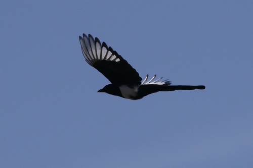
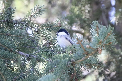
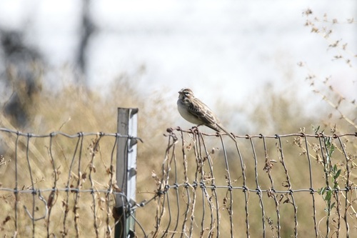
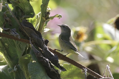
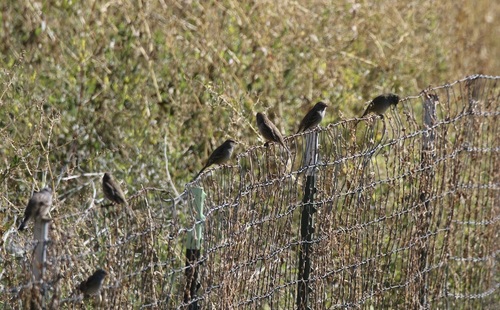
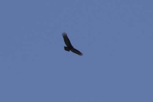
Research-grade observations from iNaturalist (within ~15 mi).
Nearest stream gauge
Events
Gallery
Sources
- • Wikipedia
- • US Census Bureau (ACS 5-year estimates)
- • NOAA National Weather Service
- • Wikidata
- • USGS Earthquake Catalog (global feed)
- • GBIF (Global Biodiversity Information Facility)
- • iNaturalist
- • Open-Meteo / sunrise-sunset.org
- • Wikipedia Pageviews API
- • NASA EONET