Browse / United States / Utah / Eagle Mountain
Eagle Mountain
Utahcity

Eagle Mountain
Total population
53,290
Median home value
$518,100
Bachelor's+
Median income
$113,648
Founded
1996
Demographic figures from US Census Bureau · ACS 5-year estimates. Overview below cites Wikipedia and may reference a different year.
City facts
Facts from Wikidata (CC0).
Overview
Eagle Mountain is a city in Utah County, Utah. It is part of the Provo–Orem metropolitan area, and located to the west and north of the Lake Mountains.
Read more on WikipediaHistory & geography
History
In 1994, a trio of men bought about 8,000 acres in the Cedar Valley of western Utah County at a bankruptcy auction, under the company names of "TI Mortgage" and "Monte Vista Ranch". These investors were John Walden, a real estate developer from Florida, and physicians Scott Gettings and Andrew Zorbis. All owned houses in Park City, Utah where they came to ski. No one lived in the region they wanted to incorporate so the trio approached developer Debbie Hooge for help. Already familiar with the area and a resident of the region, Hooge and the trio of investors approached two established communities nearby. The first was Cedar Pass Ranch, a community of large lots; while the second was Harvest Haven, a Fundamentalist Mormon polygamous community on the north side of Utah State Route 73. The two small communities signed on to the proposal and the town, at 24 square miles, incorporated in December 1996 as the Town of Eagle Mountain. Debbie Hooge was appointed as the First Mayor of the Town of Eagle Mountain. In 2001, the city was reclassified and renamed to Eagle Mountain City. In 2011, Eagle Mountain extended further west with the annexation of the White Hills neighborhood, which had about 400 residents, as well as an area that is part of the Pole Canyon development plan. The land outside of White Hills was almost 2,900 acres. Eagle Mountain was reclassified as a third-class city on September 4, 2001. a municipality achieves "third-class” city status with a population of 30,000 or more but less than 65,000. The area is home to several natural and manmade landmarks, including a site along the original Pony Express trail, and a boulder with 1,800-year-old rock art petroglyphs carved by ancient Fremont Indians.
Geography
Eagle Mountain is located at the western and northern bases of the Lake Mountains, in the flat Cedar Valley, east and northeast of the town of Cedar Fort. According to the United States Census Bureau, the city has a total area of , all land. Eagle Mountain's climate varies drastically between the northeastern Ranches area and the southwestern City Center area. Despite being further south than Salt Lake City, both areas have cooler temperatures, due to sitting at a higher elevation. The Ranches section of the city has slightly milder temperatures, since it is closer to the moderating impact of the Salt Lake and Utah Valleys, as well as the Great Salt Lake, which gives it a climate more similar to Salt Lake City. The City Center area near Fairfield lies in the Cedar Valley, which cuts that area off from the moderating influence of the Salt Lake Valley and Great Salt lake. This causes nights to get significantly colder than in the Ranches, and puts it in a rain shadow, causing less precipitation and more sunshine than the Ranches part of the city. Within the Köppen climate classification, the climate of the Ranches area is classified as humid subtropical (Cfa) or hot-summer humid continental (Dfa) depending on which variant of the system is used. The City Center area is drier and cooler. The Köppen classification for this area is cold semi-arid (BSk), although rainfall is nearly enough to classify the area as warm-summer humid continental (Dfb).
Excerpted from the corresponding Wikipedia article (CC BY-SA).
Demographics & economy
Race & ethnicity
Source: US Census Bureau — American Community Survey, 5-year estimates.
Geography
Coordinates & boundaries from the US Census TIGER/Line shapefiles.
Climate
Current forecast
Forecast for Eagle Mountain, UT from NOAA NWS API.
Air quality
Industrial & pollution facilities
Natural hazard risk
Health (adults)
Age-adjusted prevalence estimates from CDC PLACES (latest release).
Walkability
Amenities nearby
Wildlife & biodiversity
Most-observed species
- American RobinTurdus migratorius Linnaeus, 1766 · Aves6,070
- MallardAnas platyrhynchos Linnaeus, 1758 · Aves5,236
- Black-billed MagpiePica hudsonia (Sabine, 1823) · Aves4,897
- European StarlingSturnus vulgaris Linnaeus, 1758 · Aves4,861
- House FinchHaemorhous mexicanus (P.L.Statius Müller, 1776) · Aves4,521
- Song SparrowMelospiza melodia (A.Wilson, 1810) · Aves4,465
- Canada Goose (canadensis Group)Branta canadensis (Linnaeus, 1758) · Aves4,188
- Red-winged BlackbirdAgelaius phoeniceus (Linnaeus, 1766) · Aves4,179
Citizen-science & research observations from the Global Biodiversity Information Facility (GBIF).
Schools
Largest nearby schools
- Cedar Valley HighHigh · EAGLE MOUNTAIN · 2,924 students · 28.4:1 ratio
- Westlake HighHigh · SARATOGA SPRINGS · 2,659 students · 27.4:1 ratio
- Willowcreek MiddleMiddle · Lehi · 1,746 students · 28.6:1 ratio
- Frontier Middle SchoolMiddle · EAGLE MOUNTAIN · 1,634 students · 27.2:1 ratio
- Vista Heights MiddleOther · SARATOGA SPRINGS · 1,519 students · 27.6:1 ratio
- Lake Mountain MiddleMiddle · SARATOGA SPRINGS · 1,412 students · 28.2:1 ratio
- Mountain Trails SchoolElementary · EAGLE MOUNTAIN · 1,289 students · 25.3:1 ratio
- Black Ridge SchoolElementary · EAGLE MOUNTAIN · 1,191 students · 27.1:1 ratio
Public K–12 schools within ~10 mi from Urban Institute Education Data Portal (NCES Common Core of Data, 2022).
Earthquake history
Most recent
- M 2.86 — 2026-08-076 km NNW of Saratoga Springs, Utah
- M 3.52 — 2026-02-144 km NNW of West Valley City, Utah
- M 3.5 — 2026-02-056 km WNW of Lehi, Utah
- M 2.75 — 2025-10-086 km WNW of Independence, Utah
- M 3.94 — 2025-05-014 km WNW of Independence, Utah
- M 2.6 — 2025-01-0615 km NNW of Summit Park, Utah
Events from the USGS Earthquake Catalog (global) (FDSN Event Web Service).
Photos
Sights & places nearby
Notable people from here
People born within ~10 km, from Wikidata (CC0). Click any name for their Wikipedia article.
Nearby places in Utah
- Saratoga Springs5.5 mi away · pop. 48,425
- Lindon15.6 mi away · pop. 11,765
- Stockton21.1 mi away · pop. 901
- West Mountain21.8 mi away · pop. 1,282
- Genola22.6 mi away · pop. 1,842
- Salem25.5 mi away · pop. 10,324
- Santaquin26.4 mi away · pop. 16,436
- Woodland Hills28 mi away · pop. 1,559
- Hobble Creek28.4 mi away
- Grantsville31.6 mi away · pop. 14,341
- Independence38.3 mi away · pop. 79
- Woods Cross38.9 mi away
Geography & sun
Elevation, sunrise/sunset and daylight from Open-Meteo. Solar climatology from NASA POWER.
Nearby airports
Public attention
Pageview totals from the Wikimedia Pageviews API.
Books about Eagle Mountain





Search results from Open Library.
Recent natural events nearby
- Wildfire Tom Creek, Tooele, UtahWildfires · 2026-08-24 · 42 mi
- Wildfire Rocky Canyon, Morgan, UtahWildfires · 2026-08-07 · 47 mi
- Prescribed Fire West Fork RX, Wasatch, UtahWildfires · 2026-10-05 · 51 mi
- Wildfire Brushy Canyon, Box Elder, UtahWildfires · 2026-08-27 · 72 mi
- Prescribed Fire Bear River MBR Unit 2c RX, Box Elder, UtahWildfires · 2026-09-18 · 82 mi
- Wildfire Salt Wells, Box Elder, UtahWildfires · 2026-08-21 · 109 mi
- Wildfire Johnson Canyon, Box Elder, UtahWildfires · 2026-08-01 · 109 mi
- Wildfire Slough Canyon, Grand, UtahWildfires · 2026-08-15 · 129 mi
Wildfires, storms and other events from NASA EONET (last 12 months, within 250 mi).
Ground air-quality sensors
Recently spotted species
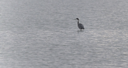
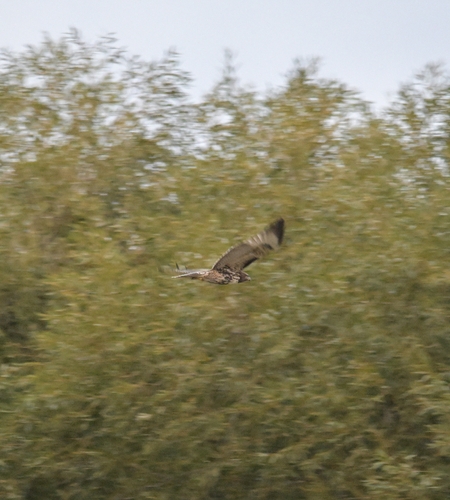

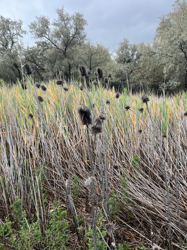

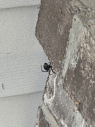
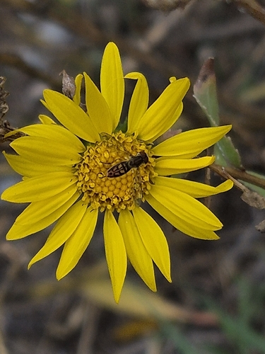
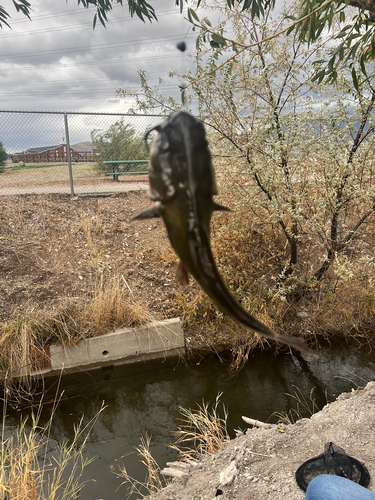
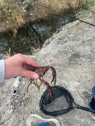
Research-grade observations from iNaturalist (within ~15 mi).
Nearest stream gauge
Events
Gallery
Sources
- • Wikipedia
- • US Census Bureau (ACS 5-year estimates)
- • NOAA National Weather Service
- • Wikidata
- • USGS Earthquake Catalog (global feed)
- • NCES via Urban Institute Education Data Portal
- • GBIF (Global Biodiversity Information Facility)
- • iNaturalist
- • CDC PLACES
- • Open-Meteo / sunrise-sunset.org
- • Wikipedia Pageviews API
- • Open Library
- • NASA EONET