Browse / United States / Utah / Helper
Helper
Utahcity

Helper
Total population
2,698
Median home value
$209,800
Bachelor's+
Median income
$56,875
Founded
1881
Demographic figures from US Census Bureau · ACS 5-year estimates. Overview below cites Wikipedia and may reference a different year.
City facts
Facts from Wikidata (CC0).
Overview
Helper is a city in Carbon County, Utah, United States, approximately 110 miles (180 km) southeast of Salt Lake City and 7 miles (11 km) northwest of the city of Price. The population was 2,112 at the 2020 census.
Read more on WikipediaHistory & geography
History
With the arrival of the Denver and Rio Grande Western Railroad (D&RGW) in 1881–82, Helper began to develop as a population center. By 1887 the D&RGW had erected some twenty-seven frame residences, with more built later in the year. The railroad planned to make Helper a freight terminal after the rail lines were changed from narrow to standard gauge. The changeover process began in 1889 and was completed in 1891. In 1892, Helper designated the division point between the eastern and western D&RGW terminals in Grand Junction, Colorado, and Ogden, Utah, respectively, and a new depot, hotel, and other buildings were constructed. On April 21, 1897, Butch Cassidy and Elzy Lay robbed the Pleasant Valley Coal Company in nearby Castle Gate; they stayed in Helper the day before. It was said that Butch Cassidy later came back to Helper for occasional visits. Adjacent to Helper is Spring Glen. It was first established in 1880, with Teancum Pratt being one of the first settlers. A Branch of the Church of Jesus Christ of Latter-day Saints was organized there in 1885 with Francis Marion Ewell as president. It was made a ward in 1889. As of 1930, less than 20% of the population in Spring Glen were members of the Church of Jesus Christ of Latter-day Saints. Helper's growth proceeded in a slow but deliberate fashion bearing little resemblance to booming metal-mining towns. The first amenities offered to the few settlers and numerous railroad workers included three saloons, one grocery store, and one clothing establishment. A school was built in 1891. By 1895 the D&RGW buildings and shops at Helper were lighted by electricity, and two reservoirs for water had been constructed. Ethnic diversity was destined to become a chief characteristic of Helper. Industrial expansion, coal mining,…
Geography
According to the United States Census Bureau, the city has a total area of , all land, along the Price River. Helper has a hot-summer humid continental climate (Köppen Dfa).
Excerpted from the corresponding Wikipedia article (CC BY-SA).
Demographics & economy
Race & ethnicity
Source: US Census Bureau — American Community Survey, 5-year estimates.
Geography
Coordinates & boundaries from the US Census TIGER/Line shapefiles.
Climate
Current forecast
Forecast for Helper, UT from NOAA NWS API.
Air quality
Industrial & pollution facilities
Natural hazard risk
Health (adults)
Age-adjusted prevalence estimates from CDC PLACES (latest release).
Walkability
Amenities nearby
Wildlife & biodiversity
Schools
Largest nearby schools
- Carbon HighHigh · PRICE · 1,023 students · 21.8:1 ratio
- Mont Harmon MiddleMiddle · PRICE · 601 students · 20.7:1 ratio
- Creekview SchoolElementary · PRICE · 450 students · 23.7:1 ratio
- Castle Heights SchoolElementary · PRICE · 422 students · 21.1:1 ratio
- Pinnacle Canyon AcademyOther · Price · 407 students · 16.3:1 ratio
- Sally Mauro SchoolElementary · HELPER · 318 students · 18.7:1 ratio
- Helper MiddleMiddle · HELPER · 205 students · 17.1:1 ratio
- Castle Valley CenterOther · PRICE · 85 students · 10.6:1 ratio
Public K–12 schools within ~10 mi from Urban Institute Education Data Portal (NCES Common Core of Data, 2022).
Earthquake history
Photos
Sights & places nearby
Notable people from here


People born within ~10 km, from Wikidata (CC0). Click any name for their Wikipedia article.
Nearby places in Utah
Geography & sun
Elevation, sunrise/sunset and daylight from Open-Meteo. Solar climatology from NASA POWER.
Nearby airports
Public attention
Pageview totals from the Wikimedia Pageviews API.
Books about Helper



Search results from Open Library.
Recent natural events nearby
- Wildfire Black Canyon, Sanpete, UtahWildfires · 2026-07-30 · 32 mi
- Wildfire Slough Canyon, Grand, UtahWildfires · 2026-08-15 · 55 mi
- Wildfire Rocky Canyon, Morgan, UtahWildfires · 2026-08-07 · 96 mi
- Wildfire Tom Creek, Tooele, UtahWildfires · 2026-08-24 · 100 mi
- Wildfire Widemouth 2, Millard, UtahWildfires · 2026-07-27 · 110 mi
- Wildfire Brushy Canyon, Box Elder, UtahWildfires · 2026-08-27 · 139 mi
- Wildfire 310, Garfield, ColoradoWildfires · 2026-08-06 · 154 mi
- Wildfire Johnson Canyon, Box Elder, UtahWildfires · 2026-08-01 · 169 mi
Wildfires, storms and other events from NASA EONET (last 12 months, within 250 mi).
Ground air-quality sensors
Recently spotted species
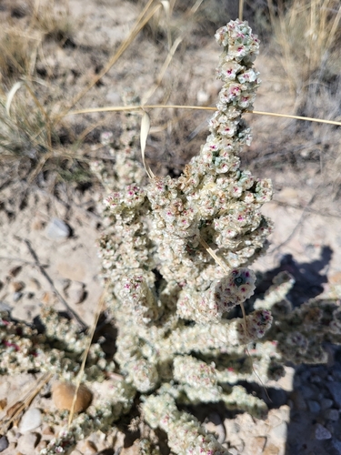
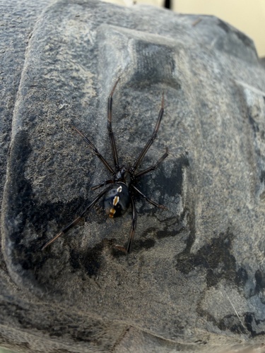
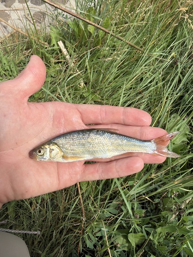
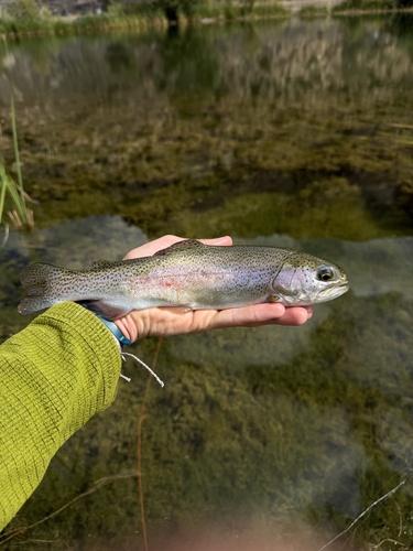
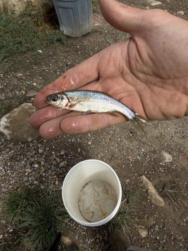
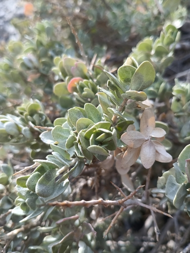
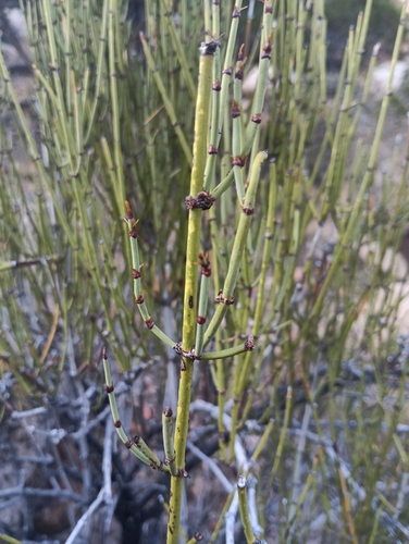
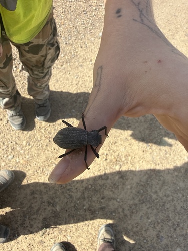
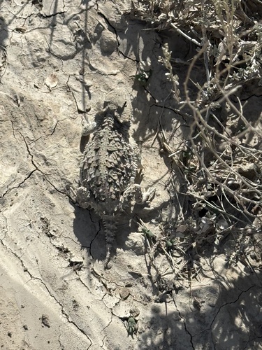
Research-grade observations from iNaturalist (within ~15 mi).
Nearest stream gauge
Events
Gallery
Sources
- • Wikipedia
- • US Census Bureau (ACS 5-year estimates)
- • NOAA National Weather Service
- • Wikidata
- • NCES via Urban Institute Education Data Portal
- • iNaturalist
- • CDC PLACES
- • Open-Elevation
- • Open-Meteo / sunrise-sunset.org
- • Wikipedia Pageviews API
- • Open Library
- • NASA EONET