Browse / United States / Utah / Hinckley
Hinckley
Utahtown

Hinckley
Total population
855
Demographic figures from US Census Bureau · ACS 5-year estimates. Overview below cites Wikipedia and may reference a different year.
City facts
Facts from Wikidata (CC0).
Overview
Hinckley is a town in Millard County, Utah, United States, in the middle of the Sevier Desert. Irrigation water from the Sevier River, passing nearby, has been used to turn Hinckley into a farming oasis. The mountains that are common in Utah are seen only in the distance, and beyond the reach of the river, a severe desert prevails. The population was 614 at the 2020 census.
Read more on WikipediaHistory & geography
History
Hinckley was first settled by Erastus F. Pack, a son of John Pack. The area was part of the Latter Day Saints Deseret Ward until 1891 when that ward was split, and the area now known as Hinckley was made the Hinckley Ward, named after Ira N. Hinckley. Thomas George Theobald surveyed the town and divided it into 14 blocks of 5 acres each. On August 1, 1944, a B-24D Liberator Bomber on a training run crash landed west of Hinckley. The crew had bailed out near Eureka, NV.
Geography
According to the United States Census Bureau, the town has a total area of 5.0 square miles (12.9 km2), all land. According to the Köppen Climate Classification system, Hinckley has a semi-arid climate, abbreviated "BSk" on climate maps. Hinckley is in USDA Plant Hardiness Zone 6a
Excerpted from the corresponding Wikipedia article (CC BY-SA).
Demographics & economy
Geography
Coordinates & boundaries from the US Census TIGER/Line shapefiles.
Climate
Air quality
Industrial & pollution facilities
Natural hazard risk
Health (adults)
Walkability
Amenities nearby
Wildlife & biodiversity
Schools
Earthquake history
Photos
Sights & places nearby
Notable people from here


People born within ~10 km, from Wikidata (CC0). Click any name for their Wikipedia article.
Nearby places in Utah
Geography & sun
Elevation, sunrise/sunset and daylight from Open-Meteo. Solar climatology from NASA POWER.
Nearby airports
Public attention
Pageview totals from the Wikimedia Pageviews API.
Books about Hinckley



Search results from Open Library.
Recent natural events nearby
- Wildfire Widemouth 2, Millard, UtahWildfires · 2026-07-27 · 43 mi
- Wildfire Tom Creek, Tooele, UtahWildfires · 2026-08-24 · 46 mi
- Wildfire Black Canyon, Sanpete, UtahWildfires · 2026-07-30 · 73 mi
- Wildfire Ward, White Pine, NevadaWildfires · 2026-07-31 · 120 mi
- Wildfire Rocky Canyon, Morgan, UtahWildfires · 2026-08-07 · 124 mi
- Wildfire Brushy Canyon, Box Elder, UtahWildfires · 2026-08-27 · 135 mi
- Wildfire Slough Canyon, Grand, UtahWildfires · 2026-08-15 · 147 mi
- Wildfire Salt Wells, Box Elder, UtahWildfires · 2026-08-21 · 171 mi
Wildfires, storms and other events from NASA EONET (last 12 months, within 250 mi).
Ground air-quality sensors
Recently spotted species
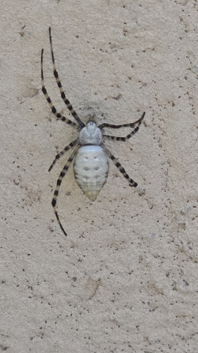
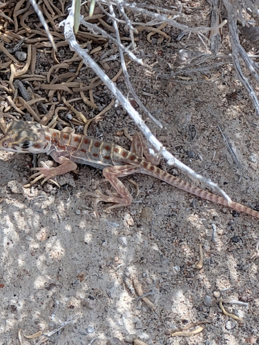
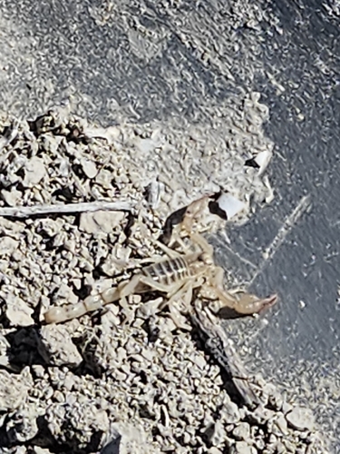
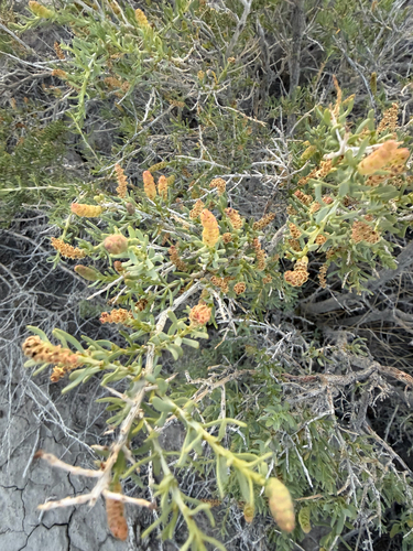
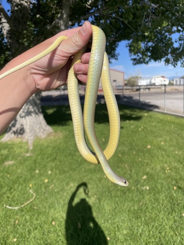
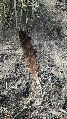
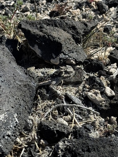

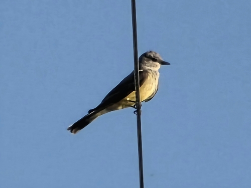
Research-grade observations from iNaturalist (within ~15 mi).
Nearest stream gauge
Events
Gallery
Sources
- • Wikipedia
- • Wikidata
- • iNaturalist
- • Open-Meteo / sunrise-sunset.org
- • Wikipedia Pageviews API
- • Open Library
- • NASA EONET