Browse / United States / Utah / Kanarraville
Kanarraville
Utahtown

Kanarraville
Total population
257
Median home value
$356,300
Bachelor's+
Median income
$0
Founded
1861
Demographic figures from US Census Bureau · ACS 5-year estimates. Overview below cites Wikipedia and may reference a different year.
City facts
Facts from Wikidata (CC0).
Overview
Kanarraville is a town in Iron County, Utah, United States. The population was 442 at the 2020 census.
Read more on WikipediaHistory & geography
History
Kanarra, later renamed Kanarraville, on Kanarra Creek, was first settled in 1861 and 1862. It was named for Piute Chief Canarrah or Quanarrah, but settlers spelled it Kanarrah or Kanarra. Its settlers were families driven from Fort Harmony when the fort had to be abandoned after most of its adobe walls were washed away during a month of heavy rains in January and February, during the Great Flood of 1862. New Harmony in Washington County was the other settlement created by refugees from this disaster.
Geography
According to the United States Census Bureau, the town has a total area of , all land. Kanarraville is located adjacent to the southwest end of Cedar Valley; it is also at the base of the Hurricane Cliffs, on the town's east border. This region experiences warm (but not hot) and dry summers, with no average monthly temperatures above 71.6 °F. According to the Köppen Climate Classification system, Kanarraville has a warm-summer Mediterranean climate, abbreviated "Csb" on climate maps.
Excerpted from the corresponding Wikipedia article (CC BY-SA).
Demographics & economy
Race & ethnicity
Source: US Census Bureau — American Community Survey, 5-year estimates.
Geography
Coordinates & boundaries from the US Census TIGER/Line shapefiles.
Climate
Current forecast
Forecast for Kanarraville, UT from NOAA NWS API.
Air quality
Industrial & pollution facilities
Natural hazard risk
Health (adults)
Age-adjusted prevalence estimates from CDC PLACES (latest release).
Walkability
Amenities nearby
Wildlife & biodiversity
Most-observed species
- Common RavenCorvus corax Linnaeus, 1758 · Aves2,362
- House FinchHaemorhous mexicanus (P.L.Statius Müller, 1776) · Aves1,743
- Woodhouse's Scrub-JayAphelocoma woodhouseii (S.F.Baird, 1858) · Aves1,586
- American RobinTurdus migratorius Linnaeus, 1766 · Aves1,304
- House SparrowPasser domesticus (Linnaeus, 1758) · Aves1,270
- Eurasian Collared-DoveStreptopelia decaocto (Frivaldszky, 1838) · Aves1,140
- Spotted TowheePipilo maculatus Swainson, 1827 · Aves964
- Northern FlickerColaptes auratus (Linnaeus, 1758) · Aves956
Citizen-science & research observations from the Global Biodiversity Information Facility (GBIF).
Schools
Earthquake history
Photos
Sights & places nearby
Notable people from here
Nearby places in Utah
- Springdale26.4 mi away · pop. 421
- Parowan28 mi away · pop. 3,165
- Orderville34.8 mi away · pop. 803
- Santa Clara38.4 mi away · pop. 8,152
- Hatch41.6 mi away · pop. 165
- Milford59.9 mi away · pop. 1,547
- Junction71 mi away · pop. 298
- Kanosh96.2 mi away · pop. 465
- Koosharem97.7 mi away · pop. 298
- Annabella101.2 mi away · pop. 701
- Glenwood106.6 mi away · pop. 673
- Scipio131.8 mi away · pop. 466
Geography & sun
Elevation, sunrise/sunset and daylight from Open-Meteo. Solar climatology from NASA POWER.
Nearby airports
Public attention
Pageview totals from the Wikimedia Pageviews API.
Books about Kanarraville
Search results from Open Library.
Recent natural events nearby
- Wildfire Ward, White Pine, NevadaWildfires · 2026-07-31 · 143 mi
- Wildfire Black Canyon, Sanpete, UtahWildfires · 2026-07-30 · 163 mi
- Wildfire Tom Creek, Tooele, UtahWildfires · 2026-08-24 · 172 mi
- Prescribed Fire Walker Hill Piles RX, Coconino, ArizonaWildfires · 2026-09-28 · 173 mi
- Wildfire Campwood, Yavapai, ArizonaWildfires · 2026-08-23 · 201 mi
- Wildfire Slough Canyon, Grand, UtahWildfires · 2026-08-15 · 217 mi
- Prescribed Fire D2 Vincent RX, Coconino, ArizonaWildfires · 2026-09-17 · 247 mi
- Prescribed Fire D2 Dye RX, Coconino, ArizonaWildfires · 2026-09-17 · 249 mi
Wildfires, storms and other events from NASA EONET (last 12 months, within 250 mi).
Ground air-quality sensors
Recently spotted species
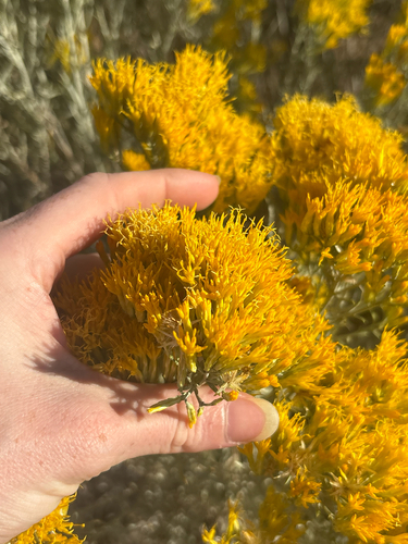
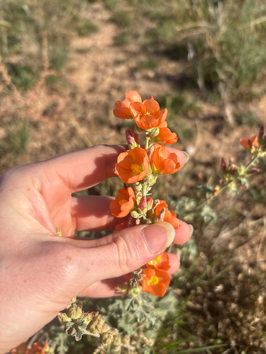
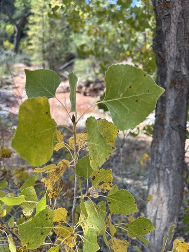
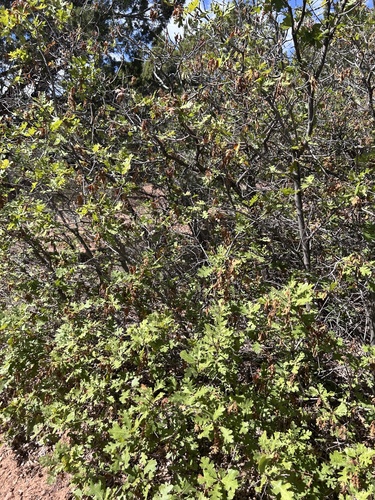
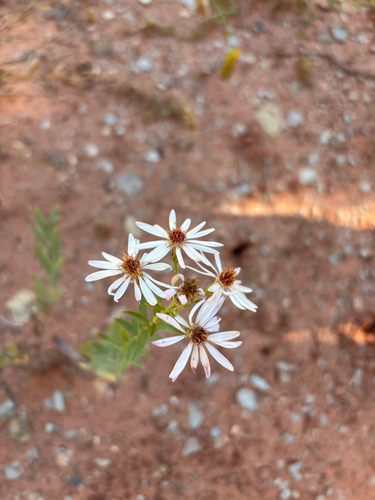
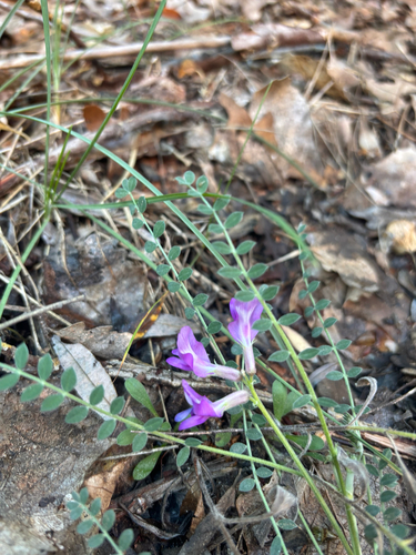
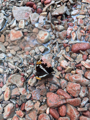
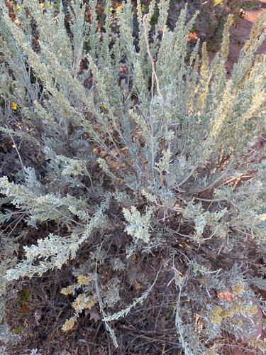
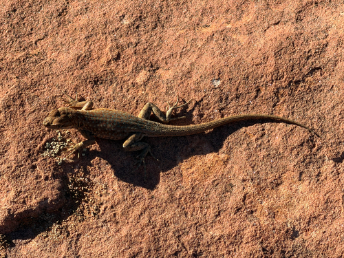
Research-grade observations from iNaturalist (within ~15 mi).
Nearest stream gauge
Events
Gallery
Sources
- • Wikipedia
- • US Census Bureau (ACS 5-year estimates)
- • NOAA National Weather Service
- • Wikidata
- • GBIF (Global Biodiversity Information Facility)
- • iNaturalist
- • CDC PLACES
- • Open-Meteo / sunrise-sunset.org
- • Wikipedia Pageviews API
- • Open Library
- • NASA EONET