Browse / United States / Utah / Layton
Layton
Utahcity

Layton
Total population
83,286
Median home value
$477,700
Bachelor's+
Median income
$102,480
Founded
1850
Demographic figures from US Census Bureau · ACS 5-year estimates. Overview below cites Wikipedia and may reference a different year.
City facts
Facts from Wikidata (CC0).
Overview
Layton (/ˈleɪʔɪn/) is a city in Davis County, Utah, United States. It is part of the Ogden-Clearfield Metropolitan Statistical Area. As of the 2020 census, the city had a population of 81,773, with 2022 Census Bureau estimates showing an increase to 82,601. 2024 estimates place Layton's population at 87,392. Layton is the most populous city in Davis County and the ninth most populous in Utah.
Read more on WikipediaHistory & geography
History
Layton was settled in the 1850s as an outgrowth of Kaysville and is named after Christopher Layton, a Latter-day Saint settler and leader. It was included in the boundaries when Kaysville was incorporated as a city in 1868, but by the 1880s, many Layton residents wanted to separate from the city. They challenged Kaysville's authority to tax their property, claiming they received no municipal services. This dispute reached the United States Supreme Court in 1894 as the case of Linford v. Ellison, which was decided in favor of the Layton property owners. The separatist movement finally succeeded in 1902, when Layton became an independent unincorporated area. After further growth, it was made an incorporated town in 1920. The town's population increased slowly; up until 1940, it was about 600. The creation of Hill Air Force Base to the north in 1940, followed shortly by the United States' entry into World War II, led to a dramatic population increase. War workers streamed into the area; the 1950 census counted 3,456 people. Layton became a city, transformed from a farming town to a residential community. Growth slowed after the war, but Layton continued to develop as a suburban bedroom community, as those not employed at the Air Force base began commuting to the Salt Lake City or Ogden areas. The city continued to expand geographically, annexing surrounding parcels of land, including the adjacent town of Laytona and the city of East Layton. In 1985, Layton passed Bountiful to become the most populous city in Davis County.
Geography
Layton is located in the northern portion of the Wasatch Front, approximately north of Salt Lake City and south of Ogden. It is bordered by Clearfield to the northwest, Hill Air Force Base to the north, South Weber to the northeast, the Wasatch Mountains to the east, Kaysville to the south, Great Salt Lake wetlands to the southwest and Syracuse to the west. According to the United States Census Bureau, Layton has a total area of , of which is land and , or 0.78%, is water. The climate in this area is characterized by hot summers and cold winters. Great Salt Lake effect snow is common in the winter.
Excerpted from the corresponding Wikipedia article (CC BY-SA).
Demographics & economy
Race & ethnicity
Source: US Census Bureau — American Community Survey, 5-year estimates.
Geography
Coordinates & boundaries from the US Census TIGER/Line shapefiles.
Climate
Current forecast
Forecast for Layton, UT from NOAA NWS API.
Air quality
Industrial & pollution facilities
Natural hazard risk
Health (adults)
Age-adjusted prevalence estimates from CDC PLACES (latest release).
Walkability
Amenities nearby
Wildlife & biodiversity
Schools
Largest nearby schools
- Syracuse HighHigh · SYRACUSE · 2,452 students · 25.5:1 ratio
- Layton HighHigh · LAYTON · 2,242 students · 28.4:1 ratio
- Davis HighHigh · KAYSVILLE · 2,175 students · 25.6:1 ratio
- Farmington HighHigh · FARMINGTON · 2,083 students · 26.7:1 ratio
- Clearfield HighHigh · CLEARFIELD · 2,030 students · 25.4:1 ratio
- Northridge HighHigh · LAYTON · 1,954 students · 26.1:1 ratio
- West Point Jr HighMiddle · WEST POINT · 1,469 students · 27.2:1 ratio
- Syracuse Jr HighMiddle · SYRACUSE · 1,359 students · 27.2:1 ratio
Public K–12 schools within ~10 mi from Urban Institute Education Data Portal (NCES Common Core of Data, 2022).
Earthquake history
Photos
Sights & places nearby
Notable people from here


People born within ~10 km, from Wikidata (CC0). Click any name for their Wikipedia article.
Nearby places in Utah
- Clearfield3.3 mi away · pop. 33,523
- South Weber4.1 mi away · pop. 8,115
- Washington Terrace6.3 mi away
- South Ogden6.6 mi away
- Clinton6.9 mi away · pop. 23,612
- West Haven10.3 mi away · pop. 21,563
- Centerville11.2 mi away · pop. 16,679
- Enterprise12.2 mi away · pop. 560
- Woods Cross14.3 mi away
- Huntsville16 mi away · pop. 567
- North Ogden16.4 mi away · pop. 21,947
- Wolf Creek18.4 mi away
Geography & sun
Elevation, sunrise/sunset and daylight from Open-Meteo. Solar climatology from NASA POWER.
Nearby airports
Public attention
Pageview totals from the Wikimedia Pageviews API.
Books about Layton




Search results from Open Library.
Recent natural events nearby
- Wildfire Rocky Canyon, Morgan, UtahWildfires · 2026-08-07 · 19 mi
- Wildfire Brushy Canyon, Box Elder, UtahWildfires · 2026-08-27 · 31 mi
- Prescribed Fire Bear River MBR Unit 2c RX, Box Elder, UtahWildfires · 2026-09-18 · 33 mi
- Wildfire Johnson Canyon, Box Elder, UtahWildfires · 2026-08-01 · 58 mi
- Prescribed Fire West Fork RX, Wasatch, UtahWildfires · 2026-10-05 · 63 mi
- Wildfire Salt Wells, Box Elder, UtahWildfires · 2026-08-21 · 63 mi
- Wildfire Tom Creek, Tooele, UtahWildfires · 2026-08-24 · 84 mi
- Wildfire North Heglar, Cassia, IdahoWildfires · 2026-08-19 · 114 mi
Wildfires, storms and other events from NASA EONET (last 12 months, within 250 mi).
Ground air-quality sensors
Recently spotted species
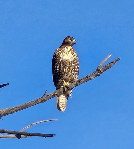
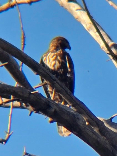
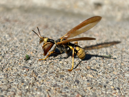
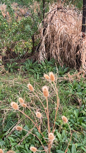


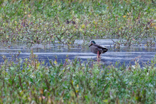
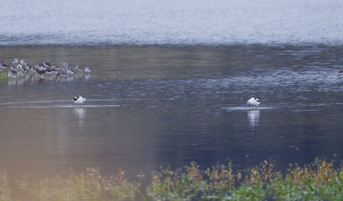
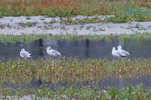
Research-grade observations from iNaturalist (within ~15 mi).
Nearest stream gauge
Events
Notable, recurring, and historical events associated with Layton, sourced from Wikidata.
- Jul 4, 2019
Source: Wikidata (CC0).
Gallery
Sources
- • Wikipedia
- • US Census Bureau (ACS 5-year estimates)
- • NOAA National Weather Service
- • Wikidata
- • NCES via Urban Institute Education Data Portal
- • iNaturalist
- • CDC PLACES
- • Open-Meteo / sunrise-sunset.org
- • Wikipedia Pageviews API
- • Open Library
- • NASA EONET