Browse / United States / Utah / Lehi
Lehi
Utahcity

Lehi
Total population
85,173
Median home value
$612,100
Bachelor's+
Median income
$131,299
Founded
1850
Demographic figures from US Census Bureau · ACS 5-year estimates. Overview below cites Wikipedia and may reference a different year.
City facts
Facts from Wikidata (CC0).
Overview
Lehi is a city in Utah County, Utah, United States. The population was 75,907 at the 2020 census, up from 47,407 in 2010, and it is the center of population of Utah. The rapid growth in Lehi is due, in part, to the rapid development of the tech industry region known as Silicon Slopes.
Read more on WikipediaHistory & geography
History
A group of Mormon pioneers settled the area now known as Lehi in the fall of 1850 at a place called Dry Creek in the northernmost part of Utah Valley. It was renamed Evansville in 1851 after David Evans, a local bishop in the Church of Jesus Christ of Latter-day Saints. Other historical names include Sulphur Springs and Snow's Springs. The settlement grew so rapidly that, in early 1852, Bishop Evans petitioned the Utah Territorial Legislature to incorporate the settlement. Lehi City was incorporated by legislative act on February 5, 1852. It was the sixth city incorporated in Utah. The legislature also approved a request to call the new city Lehi, after a Book of Mormon prophet of the same name. The first mayor of Lehi was Silas P. Barnes, from 1853 to 1854. The downtown area has been designated the Lehi Main Street Historic District by the National Park Service and is on the National Register of Historic Places.
Geography
According to the United States Census Bureau, the city has a total area of of which is land and , or 1.28%, is water.
Excerpted from the corresponding Wikipedia article (CC BY-SA).
Demographics & economy
Race & ethnicity
Source: US Census Bureau — American Community Survey, 5-year estimates.
Geography
Coordinates & boundaries from the US Census TIGER/Line shapefiles.
Climate
Current forecast
Forecast for Lehi, UT from NOAA NWS API.
Air quality
Industrial & pollution facilities
Natural hazard risk
Health (adults)
Age-adjusted prevalence estimates from CDC PLACES (latest release).
Walkability
Amenities nearby
Wildlife & biodiversity
Most-observed species
- American RobinTurdus migratorius Linnaeus, 1766 · Aves14,312
- House FinchHaemorhous mexicanus (P.L.Statius Müller, 1776) · Aves13,016
- MallardAnas platyrhynchos Linnaeus, 1758 · Aves12,632
- European StarlingSturnus vulgaris Linnaeus, 1758 · Aves10,597
- Black-billed MagpiePica hudsonia (Sabine, 1823) · Aves9,311
- Canada Goose (canadensis Group)Branta canadensis (Linnaeus, 1758) · Aves9,216
- Black-capped ChickadeePoecile atricapillus (Linnaeus, 1766) · Aves8,713
- Song SparrowMelospiza melodia (A.Wilson, 1810) · Aves8,705
Citizen-science & research observations from the Global Biodiversity Information Facility (GBIF).
Schools
Largest nearby schools
- Westlake HighHigh · SARATOGA SPRINGS · 2,659 students · 27.4:1 ratio
- Lone Peak HighHigh · HIGHLAND · 2,469 students · 28.1:1 ratio
- American Fork HighHigh · AMERICAN FORK · 2,412 students · 27.1:1 ratio
- Skyridge High SchoolHigh · LEHI · 2,387 students · 27.4:1 ratio
- Pleasant Grove HighHigh · PLEASANT GROVE · 2,084 students · 26.4:1 ratio
- Lehi HighHigh · LEHI · 1,982 students · 29.1:1 ratio
- American Fork Jr HighMiddle · AMERICAN FORK · 1,894 students · 28.3:1 ratio
- Viewpoint MiddleMiddle · LEHI · 1,790 students · 29.8:1 ratio
Public K–12 schools within ~10 mi from Urban Institute Education Data Portal (NCES Common Core of Data, 2022).
Earthquake history
Most recent
- M 2.86 — 2026-08-076 km NNW of Saratoga Springs, Utah
- M 3.52 — 2026-02-144 km NNW of West Valley City, Utah
- M 3.5 — 2026-02-056 km WNW of Lehi, Utah
- M 2.71 — 2026-02-0541 km ENE of Oakley, Utah
- M 3.26 — 2026-01-0413 km E of Huntsville, Utah
- M 2.75 — 2025-10-086 km WNW of Independence, Utah
Events from the USGS Earthquake Catalog (global) (FDSN Event Web Service).
Photos
Sights & places nearby
Notable people from here


People born within ~10 km, from Wikidata (CC0). Click any name for their Wikipedia article.
Nearby places in Utah
- Lindon9.6 mi away · pop. 11,765
- Hobble Creek25.1 mi away
- West Mountain25.7 mi away · pop. 1,282
- Stockton26.5 mi away · pop. 901
- Salem27.2 mi away · pop. 10,324
- Genola28 mi away · pop. 1,842
- Woodland Hills30.1 mi away · pop. 1,559
- Independence30.3 mi away · pop. 79
- Santaquin31.2 mi away · pop. 16,436
- Woods Cross31.6 mi away
- Grantsville34.2 mi away · pop. 14,341
- Centerville35.2 mi away · pop. 16,679
Geography & sun
Elevation, sunrise/sunset and daylight from Open-Meteo. Solar climatology from NASA POWER.
Nearby airports
Public attention
Pageview totals from the Wikimedia Pageviews API.
Books about Lehi

Search results from Open Library.
Recent natural events nearby
- Wildfire Rocky Canyon, Morgan, UtahWildfires · 2026-08-07 · 38 mi
- Prescribed Fire West Fork RX, Wasatch, UtahWildfires · 2026-10-05 · 43 mi
- Wildfire Tom Creek, Tooele, UtahWildfires · 2026-08-24 · 52 mi
- Wildfire Brushy Canyon, Box Elder, UtahWildfires · 2026-08-27 · 68 mi
- Prescribed Fire Bear River MBR Unit 2c RX, Box Elder, UtahWildfires · 2026-09-18 · 77 mi
- Wildfire Johnson Canyon, Box Elder, UtahWildfires · 2026-08-01 · 103 mi
- Wildfire Salt Wells, Box Elder, UtahWildfires · 2026-08-21 · 105 mi
- Wildfire Slough Canyon, Grand, UtahWildfires · 2026-08-15 · 126 mi
Wildfires, storms and other events from NASA EONET (last 12 months, within 250 mi).
Ground air-quality sensors
Recently spotted species

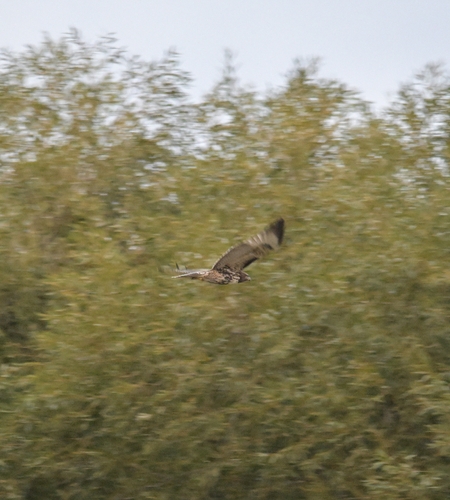
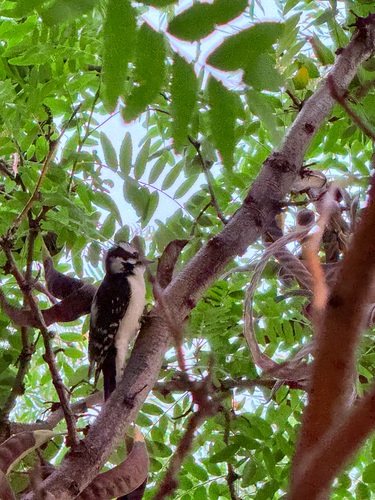
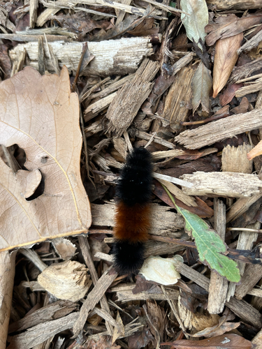
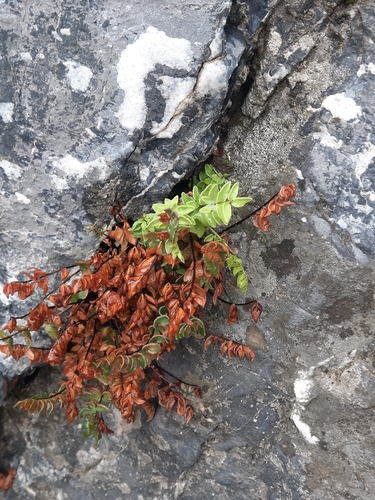
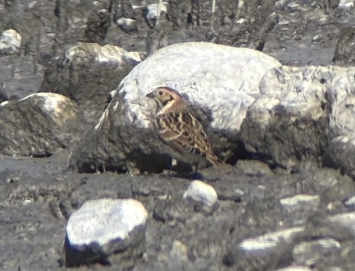
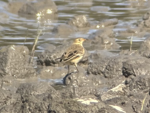

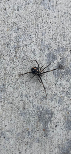
Research-grade observations from iNaturalist (within ~15 mi).
Nearest stream gauge
Events
Gallery
Sources
- • Wikipedia
- • US Census Bureau (ACS 5-year estimates)
- • NOAA National Weather Service
- • Wikidata
- • USGS Earthquake Catalog (global feed)
- • NCES via Urban Institute Education Data Portal
- • GBIF (Global Biodiversity Information Facility)
- • iNaturalist
- • CDC PLACES
- • Open-Meteo / sunrise-sunset.org
- • Wikipedia Pageviews API
- • Open Library
- • NASA EONET