Browse / United States / Utah / Liberty
Liberty
UtahCDP

Liberty
Total population
1,484
Median home value
$825,500
Bachelor's+
Median income
$106,719
Demographic figures from US Census Bureau · ACS 5-year estimates. Overview below cites Wikipedia and may reference a different year.
City facts
Overview
Liberty is a census-designated place in Weber County, Utah, United States. The population was 1,522 at the 2020 census. It is part of the Ogden–Clearfield, Utah Metropolitan Statistical Area, as well as the Ogden Valley census county division.
Read more on WikipediaHistory & geography
History
British trapper and explorer Peter Skene Ogden was the first European to map and describe the "Ogden Hole" valley which would later include Liberty. The Liberty area was settled beginning in 1859 as an outgrowth of Eden. In 1892, a separate townsite was laid out The name came from John Freeman's remarks that both cattle and people took "full liberty" in the area. Settlement happened gradually, homes built one at a time rather than in tract housing. Traditionally a farming and ranching community, Liberty has developed in recent years into a recreational community and commuter town for the Ogden area.
Geography
Liberty lies in the northwestern Ogden Valley of the Wasatch Range, approximately across the North Ogden Divide and east of North Ogden and northwest of Eden. Near Liberty are Nordic Valley, Utah State Route 158, and the Nordic Valley ski resort. To the southeast, just past Eden, are Pineview Reservoir and the town of Huntsville. Avon Road, formerly State Route 162, leads north over the Avon Pass to Avon.
Excerpted from the corresponding Wikipedia article (CC BY-SA).
Demographics & economy
Race & ethnicity
Source: US Census Bureau — American Community Survey, 5-year estimates.
Geography
Coordinates & boundaries from the US Census TIGER/Line shapefiles.
Climate
Current forecast
Forecast for Liberty, UT from NOAA NWS API.
Air quality
Industrial & pollution facilities
Natural hazard risk
Health (adults)
Age-adjusted prevalence estimates from CDC PLACES (latest release).
Walkability
Amenities nearby
Wildlife & biodiversity
Schools
Largest nearby schools
- Weber HighHigh · OGDEN · 2,037 students · 21.9:1 ratio
- Wahlquist Jr HighMiddle · FARR WEST · 1,260 students · 24.7:1 ratio
- Davinci AcademyOther · OGDEN · 1,199 students · 17.4:1 ratio
- Ben Lomond HighHigh · OGDEN · 1,169 students · 22.5:1 ratio
- Ogden HighHigh · OGDEN · 1,128 students · 20.5:1 ratio
- Orion Jr HighMiddle · HARRISVILLE · 1,063 students · 23.1:1 ratio
- Ogden Preparatory AcademyOther · OGDEN · 1,022 students · 20:1 ratio
- North Ogden Jr HighMiddle · OGDEN · 936 students · 22.8:1 ratio
Public K–12 schools within ~10 mi from Urban Institute Education Data Portal (NCES Common Core of Data, 2022).
Earthquake history
Photos
Sights & places nearby
Notable people from here


People born within ~10 km, from Wikidata (CC0). Click any name for their Wikipedia article.
Nearby places in Utah
- Wolf Creek2.2 mi away
- North Ogden5.3 mi away · pop. 20,916
- Huntsville7.5 mi away
- Farr West9.1 mi away
- South Willard9.2 mi away
- Marriott-Slaterville10.5 mi away
- Mantua11.4 mi away
- Perry12.4 mi away · pop. 5,843
- South Ogden12.7 mi away
- Washington Terrace13.4 mi away
- West Haven13.5 mi away
- Mountain Green14 mi away
Geography & sun
Elevation, sunrise/sunset and daylight from Open-Meteo. Solar climatology from NASA POWER.
Nearby airports
Public attention
Pageview totals from the Wikimedia Pageviews API.
Books about Liberty

Search results from Open Library.
Recent natural events nearby
- Wildfire Rocky Canyon, Morgan, UtahWildfires · 2026-08-07 · 30 mi
- Wildfire Brushy Canyon, Box Elder, UtahWildfires · 2026-08-27 · 32 mi
- Wildfire Johnson Canyon, Box Elder, UtahWildfires · 2026-08-01 · 43 mi
- Wildfire Salt Wells, Box Elder, UtahWildfires · 2026-08-21 · 53 mi
- Wildfire North Heglar, Cassia, IdahoWildfires · 2026-08-19 · 101 mi
- Wildfire Tom Creek, Tooele, UtahWildfires · 2026-08-24 · 102 mi
- Wildfire Lake Channel, Power, IdahoWildfires · 2026-07-29 · 109 mi
- Wildfire Bare, Sublette, WyomingWildfires · 2026-08-04 · 121 mi
Wildfires, storms and other events from NASA EONET (last 12 months, within 250 mi).
Ground air-quality sensors
Recently spotted species
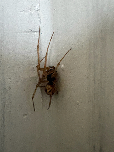
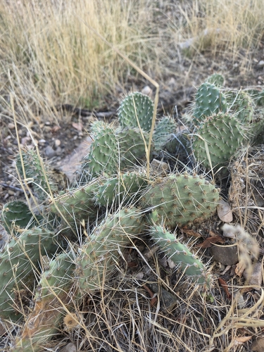
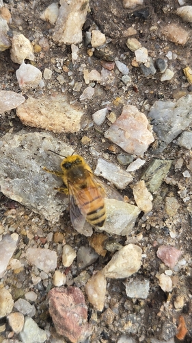
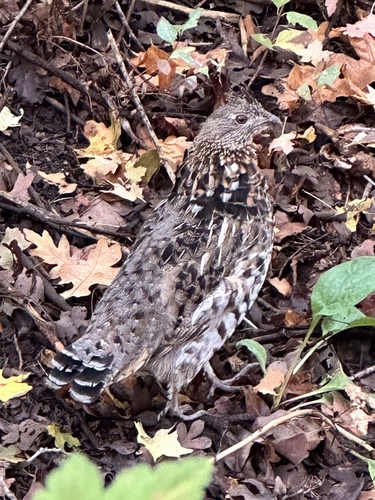
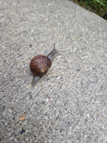
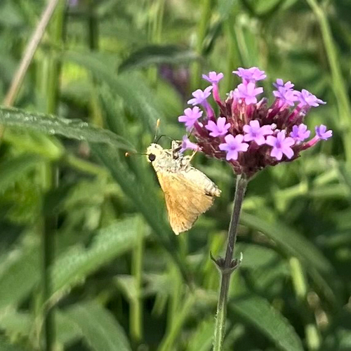
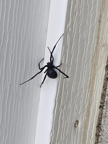
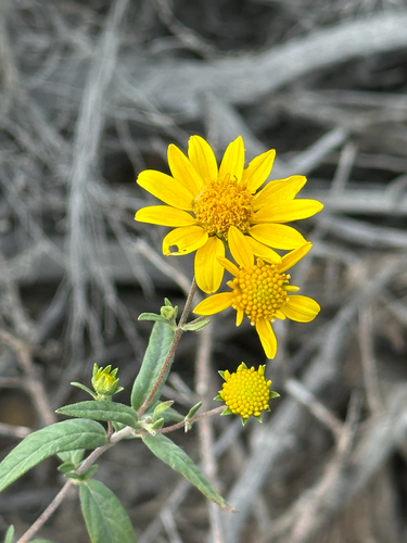
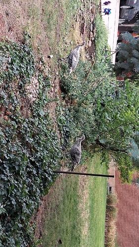
Research-grade observations from iNaturalist (within ~15 mi).
Nearest stream gauge
Events
Gallery
Sources
- • Wikipedia
- • US Census Bureau (ACS 5-year estimates)
- • NOAA National Weather Service
- • Wikidata
- • NCES via Urban Institute Education Data Portal
- • iNaturalist
- • CDC PLACES
- • Open-Elevation
- • Open-Meteo / sunrise-sunset.org
- • Wikipedia Pageviews API
- • Open Library
- • NASA EONET