Browse / United States / Utah / Millcreek
Millcreek
Utahcity

Millcreek
Total population
63,648
Median home value
$627,200
Bachelor's+
Median income
$98,045
Demographic figures from US Census Bureau · ACS 5-year estimates. Overview below cites Wikipedia and may reference a different year.
City facts
Overview
Millcreek is a city in Salt Lake County, Utah, United States, and part of the Salt Lake City metropolitan area. The population as of the 2020 census was 63,380. Prior to its incorporation on December 28, 2016, Millcreek was a census-designated place (CDP) and township.
Read more on WikipediaHistory & geography
History
Early settlers of the Millcreek area in 1848 included Mary Fielding Smith (widow of Hyrum Smith) and her children, including Joseph F. Smith. The area remained essentially rural in character until after World War II. As postwar suburban growth spilled south over the Salt Lake City limits, the area was not annexed by the city and remained unincorporated. By the 1980s, most of the area now in Millcreek was built out and known by various names, including East Mill Creek, Canyon Rim and Mount Olympus. In the 2000 census, the area was divided among four CDPs for statistical purposes, the westernmost of which was designated Millcreek CDP. The population of this CDP was 30,377 at the 2000 census, and had a total area of 4.9 square miles (12.8 km2). Canyon Rim CDP, East Millcreek CDP, and Mount Olympus CDP were consolidated with Millcreek CDP in the 2010 census, doubling its population to 62,139. Salt Lake County created Millcreek Township in 2002 as an administrative subentity that included the populated CDPs as well as undeveloped Mill Creek Canyon in the Uinta-Wasatch-Cache National Forest immediately to the east. The township was created to give residents of the area more local control over planning and prevent annexations by neighboring cities. As other communities south of Salt Lake City were incorporated in the 1990s and 2000s, Millcreek remained as the most populous unincorporated area of Salt Lake County. Residents considered a number of options for their future, including incorporation, which would make it the county's fifth-largest city. Amalgamation with neighboring South Salt Lake was also proposed, which would have combined South Salt Lake's commercial and industrial base with Millcreek's heavily residential character, creating a city of over 80,000.…
Geography
Suburban in character, Millcreek is wedged between Salt Lake City and South Salt Lake on the north and Murray and Holladay on the south. Millcreek residents typically identify with Salt Lake City, which is designated by the U.S. Postal Service as the default place name for mailing addresses in the area. Millcreek is a recognized place name for addresses in the ZIP codes 84106, 84107, 84109, 84117, and 84124. The city is organized into four community councils, Canyon Rim, East Mill Creek, Millcreek, and Mount Olympus, roughly corresponding to the former CDPs. This climatic region is typified by large seasonal temperature differences, with warm to hot summers and cold (sometimes severely cold) winters. According to the Köppen Climate Classification system, Millcreek has a humid continental climate, abbreviated "Dfb" on climate maps. Historically distinct communities from which Millcreek developed include: *Canyon Rim, located in the northeastern Millcreek, which developed during the post-World War II period as agricultural property was subdivided for housing. The Canyon Rim name came into broader use as homes were constructed near the rim of Parleys Hollow during the 1950s. *East Mill Creek, which includes residential areas near the mouth of Mill Creek Canyon and some of the city's earliest settlement areas. Farms and orchards historically characterized portions of the community before suburban subdivision accelerated during the 20th century. *The western and central portions of Millcreek, which contain denser residential and commercial development.
Excerpted from the corresponding Wikipedia article (CC BY-SA).
Demographics & economy
Race & ethnicity
Source: US Census Bureau — American Community Survey, 5-year estimates.
Geography
Coordinates & boundaries from the US Census TIGER/Line shapefiles.
Climate
Current forecast
Forecast for Millcreek, UT from NOAA NWS API.
Air quality
Industrial & pollution facilities
Natural hazard risk
Health (adults)
Age-adjusted prevalence estimates from CDC PLACES (latest release).
Walkability
Amenities nearby
Wildlife & biodiversity
Most-observed species
- House FinchHaemorhous mexicanus (P.L.Statius Müller, 1776) · Aves35,469
- American RobinTurdus migratorius Linnaeus, 1766 · Aves30,613
- Black-capped ChickadeePoecile atricapillus (Linnaeus, 1766) · Aves28,125
- Song SparrowMelospiza melodia (A.Wilson, 1810) · Aves24,223
- MallardAnas platyrhynchos Linnaeus, 1758 · Aves24,075
- Lesser GoldfinchSpinus psaltria (Say, 1822) · Aves22,493
- House SparrowPasser domesticus (Linnaeus, 1758) · Aves22,124
- Mourning DoveZenaida macroura (Linnaeus, 1758) · Aves22,002
Citizen-science & research observations from the Global Biodiversity Information Facility (GBIF).
Schools
Largest nearby schools
- Granger HighHigh · WEST VALLEY CITY · 3,481 students · 26:1 ratio
- Taylorsville HighHigh · TAYLORSVILLE · 2,770 students · 26.1:1 ratio
- West HighHigh · SALT LAKE CITY · 2,600 students · 22.2:1 ratio
- Kearns HighHigh · KEARNS · 2,382 students · 25.9:1 ratio
- Brighton HighHigh · Salt Lake City · 2,360 students · 26.2:1 ratio
- Hillcrest HighHigh · MIDVALE · 2,296 students · 23.9:1 ratio
- Alta HighHigh · SANDY · 2,294 students · 25.8:1 ratio
- Skyline HighHigh · SALT LAKE CITY · 2,124 students · 26.9:1 ratio
Public K–12 schools within ~10 mi from Urban Institute Education Data Portal (NCES Common Core of Data, 2022).
Earthquake history
Most recent
- M 2.86 — 2026-08-076 km NNW of Saratoga Springs, Utah
- M 3.52 — 2026-02-144 km NNW of West Valley City, Utah
- M 3.5 — 2026-02-056 km WNW of Lehi, Utah
- M 2.71 — 2026-02-0541 km ENE of Oakley, Utah
- M 2.97 — 2026-01-2241 km SSE of Evanston, Wyoming
- M 4.65 — 2026-01-2240 km S of Evanston, Wyoming
Events from the USGS Earthquake Catalog (global) (FDSN Event Web Service).
Photos
Sights & places nearby
Notable people from here
Geography & sun
Nearby airports
Public attention
Books about this place
Recent natural events nearby
- Wildfire Rocky Canyon, Morgan, UtahWildfires · 2026-08-07 · 20 mi
- Prescribed Fire West Fork RX, Wasatch, UtahWildfires · 2026-10-05 · 43 mi
- Wildfire Brushy Canyon, Box Elder, UtahWildfires · 2026-08-27 · 54 mi
- Prescribed Fire Bear River MBR Unit 2c RX, Box Elder, UtahWildfires · 2026-09-18 · 60 mi
- Wildfire Tom Creek, Tooele, UtahWildfires · 2026-08-24 · 66 mi
- Wildfire Johnson Canyon, Box Elder, UtahWildfires · 2026-08-01 · 86 mi
- Wildfire Salt Wells, Box Elder, UtahWildfires · 2026-08-21 · 89 mi
- Wildfire Slough Canyon, Grand, UtahWildfires · 2026-08-15 · 136 mi
Wildfires, storms and other events from NASA EONET (last 12 months, within 250 mi).
Ground air-quality sensors
Recently spotted species


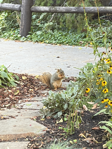


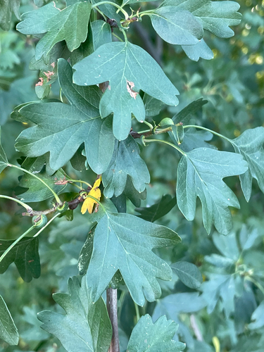
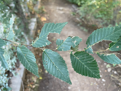

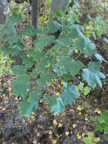
Research-grade observations from iNaturalist (within ~15 mi).
Nearest stream gauge
Events
Gallery
Sources
- • Wikipedia
- • US Census Bureau (ACS 5-year estimates)
- • NOAA National Weather Service
- • USGS Earthquake Catalog (global feed)
- • NCES via Urban Institute Education Data Portal
- • GBIF (Global Biodiversity Information Facility)
- • iNaturalist
- • CDC PLACES
- • NASA EONET