Browse / United States / Utah / Provo
Provo
Utahcity

Provo
Total population
115,496
Median home value
$513,200
Bachelor's+
Median income
$60,139
Founded
1849
Demographic figures from US Census Bureau · ACS 5-year estimates. Overview below cites Wikipedia and may reference a different year.
City facts
Sister cities
Facts from Wikidata (CC0).
Overview
Provo is a city in and the county seat of Utah County, Utah, United States. It had a population of 115,162 at the 2020 census, making it the fourth-most populous city in Utah. It is the principal city in the Provo–Orem–Lehi metropolitan area, which had a population of 671,185 at the 2020 census. Provo anchors the second-largest metropolitan area in Utah, after the Salt Lake City metropolitan area.
Read more on WikipediaHistory & geography
History
The Provo area was originally called Timpanogas, a Numic (Ute people) word perhaps meaning "rock river". The area was inhabited by the Timpanogos. The ample food from the Provo River made the Timpanogos a peaceful people. The area also served as the traditional meeting place for the Ute and Shoshone tribes and was used as a common location for worship of their creator deity. Silvestre Vélez de Escalante, a Spanish Franciscan missionary-explorer, is considered the first European explorer to have visited the area in 1776. He was guided by two Timpanogos Utes, whom he called Silvestre and Joaquín. Escalante chronicled this first European exploration across the Great Basin Desert. The Europeans did not build a permanent settlement but traded with the Timpanogos, whom they called Lagunas (lake people) or Come Pescado (fish eaters). Escalating tensions with the Timpanog contributed to the Walker War. Fort Utah was renamed Provo in 1850 for Étienne Provost, an early French-Canadian trapper who arrived in the region in 1825. In 1850, the first schoolhouse was constructed in Provo, built within Utah Fort. As more Latter-day Saints arrived, Provo quickly grew as a city. It soon was nicknamed The Garden City with a large number of fruit orchards and gardens there. In 1872, a railroad reached Provo. It was also this year that the Provo Woolen Mills opened. They were the first large factory in Provo and employed about 150 people, initially mainly skilled textile laborers who had emigrated from Britain. The construction of the blast furnace plant of the Columbia Steel Company in 1923-1924 marked the arrival of heavy industry in Provo, albeit most of the pig iron was shipped to the company's steel mills in California. The plant supplied manufactured gas to the area and in 1948…
Geography
Provo lies on the eastern bank of Utah Lake in Utah Valley at an elevation of . According to the United States Census Bureau, the city has an area of , of which is land and , or 5.66%, is water. The Wasatch Range contains many peaks within Utah County along the east side of the Wasatch Front. One of them, known as Y Mountain, towers over the city. There is a large hillside letter Y made of whitewashed concrete halfway up the steep mountain, built in the early part of the 20th century to commemorate BYU (original plans included construction use of all three letters). Wild deer (and less frequently, cougars, and moose) still roam the mountains (and occasionally the city streets). The geography allows for hiking, skiing, fishing and other outdoor activities. Provo's climate can be classified as either a hot-summer Mediterranean climate classification (Köppen: Csa) or as a cool semi-arid climate (Köppen: BSk). Overall, annual rainfall at the location of BYU is around ; however, the western part of the metropolitan area near Orem is substantially drier, receiving only around of precipitation and consequently has a cool semi-arid climate (Köppen: BSk). |source 2 = Weather Atlas }}
Excerpted from the corresponding Wikipedia article (CC BY-SA).
Demographics & economy
Race & ethnicity
Source: US Census Bureau — American Community Survey, 5-year estimates.
Geography
Coordinates & boundaries from the US Census TIGER/Line shapefiles.
Climate
Current forecast
Forecast for Provo, UT from NOAA NWS API.
Air quality
Industrial & pollution facilities
Natural hazard risk
Health (adults)
Age-adjusted prevalence estimates from CDC PLACES (latest release).
Walkability
Amenities nearby
Wildlife & biodiversity
Most-observed species
- MallardAnas platyrhynchos Linnaeus, 1758 · Aves15,134
- American RobinTurdus migratorius Linnaeus, 1766 · Aves13,686
- European StarlingSturnus vulgaris Linnaeus, 1758 · Aves12,217
- Song SparrowMelospiza melodia (A.Wilson, 1810) · Aves10,419
- House FinchHaemorhous mexicanus (P.L.Statius Müller, 1776) · Aves10,370
- Red-winged BlackbirdAgelaius phoeniceus (Linnaeus, 1766) · Aves9,202
- Black-capped ChickadeePoecile atricapillus (Linnaeus, 1766) · Aves8,932
- American CootFulica americana Gmelin, 1789 · Aves8,695
Citizen-science & research observations from the Global Biodiversity Information Facility (GBIF).
Schools
Largest nearby schools
- Timpview HighHigh · PROVO · 2,341 students · 23.6:1 ratio
- Pleasant Grove HighHigh · PLEASANT GROVE · 2,084 students · 26.4:1 ratio
- Provo HighHigh · PROVO · 1,988 students · 24.9:1 ratio
- Maple Mountain HighHigh · SPANISH FORK · 1,740 students · 26.8:1 ratio
- Springville HighHigh · SPRINGVILLE · 1,612 students · 22.7:1 ratio
- Spanish Fork HighHigh · SPANISH FORK · 1,519 students · 24.9:1 ratio
- Mountain View HighHigh · OREM · 1,508 students · 24.3:1 ratio
- Lakeridge Jr HighMiddle · OREM · 1,388 students · 26.2:1 ratio
Public K–12 schools within ~10 mi from Urban Institute Education Data Portal (NCES Common Core of Data, 2022).
Earthquake history
Most recent
- M 2.86 — 2026-08-076 km NNW of Saratoga Springs, Utah
- M 2.81 — 2026-02-227 km SW of Clear Creek, Utah
- M 3.52 — 2026-02-144 km NNW of West Valley City, Utah
- M 3.5 — 2026-02-056 km WNW of Lehi, Utah
- M 2.71 — 2026-02-0541 km ENE of Oakley, Utah
- M 2.97 — 2026-01-2241 km SSE of Evanston, Wyoming
Events from the USGS Earthquake Catalog (global) (FDSN Event Web Service).
Photos
Sights & places nearby
Notable people from here


People born within ~10 km, from Wikidata (CC0). Click any name for their Wikipedia article.
Nearby places in Utah
- Lindon7.7 mi away · pop. 11,765
- Hobble Creek8.7 mi away
- Salem13.2 mi away · pop. 10,324
- West Mountain15.2 mi away · pop. 1,282
- Saratoga Springs15.8 mi away · pop. 48,425
- Woodland Hills16 mi away · pop. 1,559
- Genola19.4 mi away · pop. 1,842
- Santaquin20.6 mi away · pop. 16,436
- Independence21.7 mi away · pop. 79
- Woodland31.8 mi away · pop. 625
- Kamas34.1 mi away · pop. 2,096
- Marion35.8 mi away · pop. 830
Geography & sun
Elevation, sunrise/sunset and daylight from Open-Meteo. Solar climatology from NASA POWER.
Nearby airports
Public attention
Pageview totals from the Wikimedia Pageviews API.
Books about Provo

Search results from Open Library.
Recent natural events nearby
- Wildfire Rocky Canyon, Morgan, UtahWildfires · 2026-08-07 · 48 mi
- Wildfire Tom Creek, Tooele, UtahWildfires · 2026-08-24 · 58 mi
- Wildfire Black Canyon, Sanpete, UtahWildfires · 2026-07-30 · 62 mi
- Wildfire Brushy Canyon, Box Elder, UtahWildfires · 2026-08-27 · 84 mi
- Wildfire Slough Canyon, Grand, UtahWildfires · 2026-08-15 · 110 mi
- Wildfire Widemouth 2, Millard, UtahWildfires · 2026-07-27 · 114 mi
- Wildfire Johnson Canyon, Box Elder, UtahWildfires · 2026-08-01 · 118 mi
- Wildfire Salt Wells, Box Elder, UtahWildfires · 2026-08-21 · 121 mi
Wildfires, storms and other events from NASA EONET (last 12 months, within 250 mi).
Ground air-quality sensors
Recently spotted species
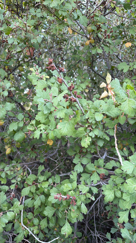
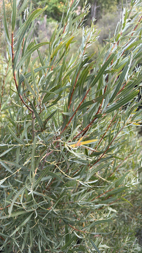
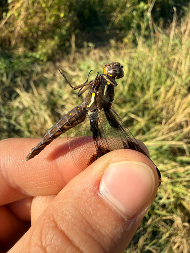
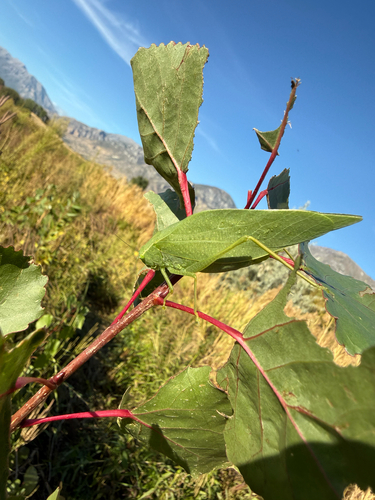
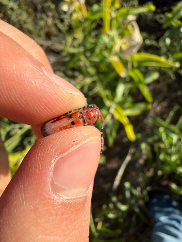
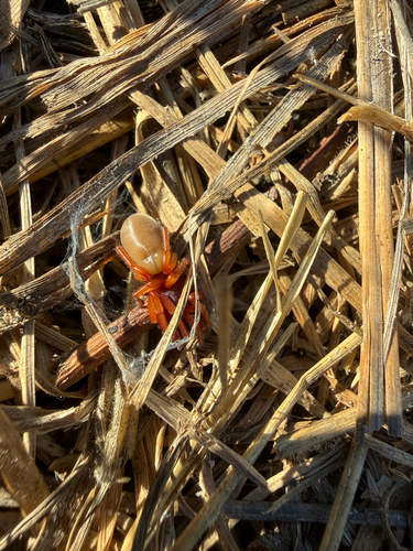
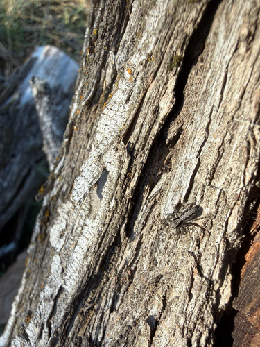
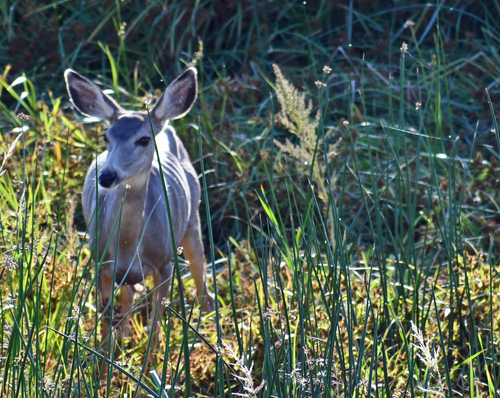
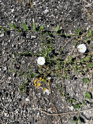
Research-grade observations from iNaturalist (within ~15 mi).
Nearest stream gauge
Events
Notable, recurring, and historical events associated with Provo, sourced from Wikidata.
Source: Wikidata (CC0).
Gallery
Sources
- • Wikipedia
- • US Census Bureau (ACS 5-year estimates)
- • NOAA National Weather Service
- • Wikidata
- • USGS Earthquake Catalog (global feed)
- • NCES via Urban Institute Education Data Portal
- • GBIF (Global Biodiversity Information Facility)
- • iNaturalist
- • CDC PLACES
- • Open-Meteo / sunrise-sunset.org
- • Wikipedia Pageviews API
- • Open Library
- • NASA EONET