Browse / United States / Utah / Rocky Ridge
Rocky Ridge
Utahtown

Rocky Ridge
Total population
1,060
Median home value
$573,400
Bachelor's+
Median income
$95,625
Founded
1998
Demographic figures from US Census Bureau · ACS 5-year estimates. Overview below cites Wikipedia and may reference a different year.
City facts
Facts from Wikidata (CC0).
Overview
Rocky Ridge is a town on the northeastern edge of Juab County, Utah, United States. As of the 2020 census it had a population of 848.
Read more on WikipediaHistory & geography
History
The original community in the area was known as York and was the southern terminus of the Utah Southern Railroad from February 1875 to May 1979. However, after the railroad was extended further south, the community of York was essentially abandoned. A post office had been established in the community in 1875, but it closed in 1879. Nearly a century passed without much change, but by 1971 Marvin L. Allred had purchased in the area and I‑15 had been completed to just north of the Juab‑Utah county line. Over the next quarter century the community (which had become known as locally as Allred Ranch) continued growing, with the completion of I‑15 through the valley and the addition of more than to the community.
Geography
Rocky Ridge is in the northeast corner of Juab County, at the northern end of the Juab Valley. It is bordered to the north by the city of Santaquin. Interstate 15 runs just east of the town limits, with access from the north at Exit 242 (Summit Ridge Parkway) in Santaquin. Payson is to the north, and Mona is to the south. Nephi, the Juab County seat, is south of Rocky Ridge. According to the United States Census Bureau, the town has a total area of , all land.
Excerpted from the corresponding Wikipedia article (CC BY-SA).
Demographics & economy
Race & ethnicity
Source: US Census Bureau — American Community Survey, 5-year estimates.
Geography
Coordinates & boundaries from the US Census TIGER/Line shapefiles.
Climate
Current forecast
Forecast for Rocky Ridge, UT from NOAA NWS API.
Air quality
Industrial & pollution facilities
Natural hazard risk
Health (adults)
Age-adjusted prevalence estimates from CDC PLACES (latest release).
Walkability
Amenities nearby
Wildlife & biodiversity
Most-observed species
- American RobinTurdus migratorius Linnaeus, 1766 · Aves2,317
- European StarlingSturnus vulgaris Linnaeus, 1758 · Aves1,957
- Black-billed MagpiePica hudsonia (Sabine, 1823) · Aves1,924
- MallardAnas platyrhynchos Linnaeus, 1758 · Aves1,647
- Common RavenCorvus corax Linnaeus, 1758 · Aves1,623
- Northern FlickerColaptes auratus (Linnaeus, 1758) · Aves1,488
- Red-tailed HawkButeo jamaicensis (Gmelin, 1788) · Aves1,486
- Eurasian Collared-DoveStreptopelia decaocto (Frivaldszky, 1838) · Aves1,462
Citizen-science & research observations from the Global Biodiversity Information Facility (GBIF).
Schools
Earthquake history
Most recent
- M 2.86 — 2026-08-076 km NNW of Saratoga Springs, Utah
- M 2.81 — 2026-02-227 km SW of Clear Creek, Utah
- M 3.52 — 2026-02-144 km NNW of West Valley City, Utah
- M 3.5 — 2026-02-056 km WNW of Lehi, Utah
- M 2.75 — 2025-10-086 km WNW of Independence, Utah
- M 3.05 — 2025-05-249 km NNE of Scipio, Utah
Events from the USGS Earthquake Catalog (global) (FDSN Event Web Service).
Photos
Sights & places nearby
Notable people from here
People born within ~10 km, from Wikidata (CC0). Click any name for their Wikipedia article.
Nearby places in Utah
- Santaquin3.8 mi away · pop. 16,436
- Genola6.5 mi away · pop. 1,842
- West Mountain9.4 mi away · pop. 1,282
- Woodland Hills11.1 mi away · pop. 1,559
- Salem12.6 mi away · pop. 10,324
- Nephi14.9 mi away · pop. 6,885
- Spanish Fork16.4 mi away · pop. 42,602
- Fountain Green22.4 mi away · pop. 1,521
- Hobble Creek25.6 mi away
- Lindon29.7 mi away · pop. 11,765
- Moroni30 mi away · pop. 1,535
- Clear Creek40.4 mi away
Geography & sun
Elevation, sunrise/sunset and daylight from Open-Meteo. Solar climatology from NASA POWER.
Nearby airports
Public attention
Pageview totals from the Wikimedia Pageviews API.
Books about Rocky Ridge


Search results from Open Library.
Recent natural events nearby
- Wildfire Black Canyon, Sanpete, UtahWildfires · 2026-07-30 · 46 mi
- Wildfire Tom Creek, Tooele, UtahWildfires · 2026-08-24 · 47 mi
- Wildfire Rocky Canyon, Morgan, UtahWildfires · 2026-08-07 · 71 mi
- Wildfire Widemouth 2, Millard, UtahWildfires · 2026-07-27 · 90 mi
- Wildfire Brushy Canyon, Box Elder, UtahWildfires · 2026-08-27 · 101 mi
- Wildfire Slough Canyon, Grand, UtahWildfires · 2026-08-15 · 108 mi
- Wildfire Johnson Canyon, Box Elder, UtahWildfires · 2026-08-01 · 137 mi
- Wildfire Salt Wells, Box Elder, UtahWildfires · 2026-08-21 · 138 mi
Wildfires, storms and other events from NASA EONET (last 12 months, within 250 mi).
Ground air-quality sensors
Recently spotted species
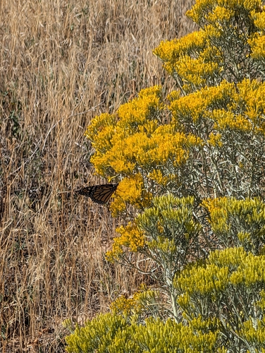
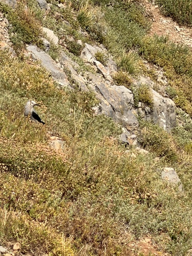
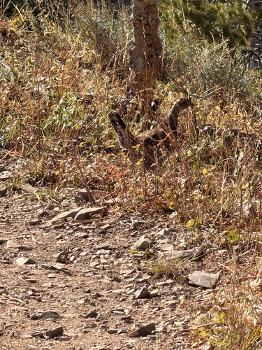
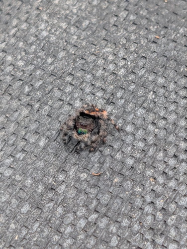
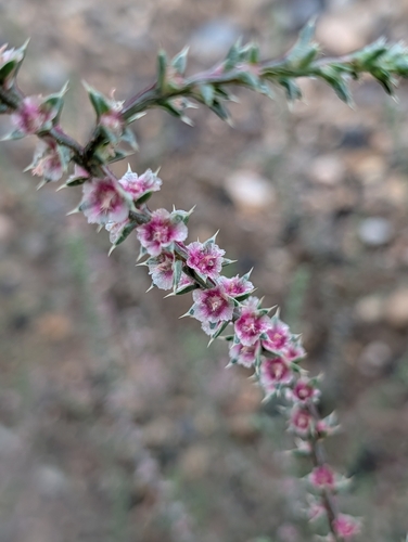
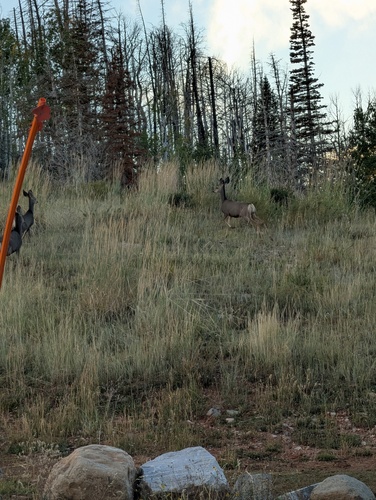
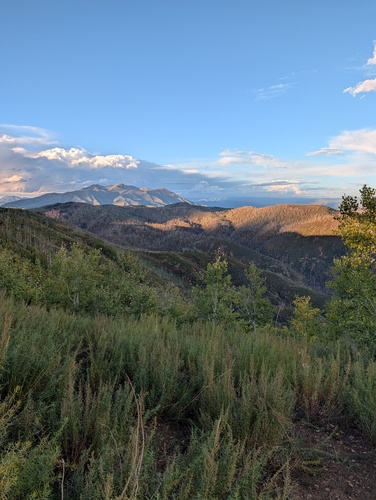
Research-grade observations from iNaturalist (within ~15 mi).
Nearest stream gauge
Events
Gallery
Sources
- • Wikipedia
- • US Census Bureau (ACS 5-year estimates)
- • NOAA National Weather Service
- • Wikidata
- • USGS Earthquake Catalog (global feed)
- • GBIF (Global Biodiversity Information Facility)
- • iNaturalist
- • CDC PLACES
- • Open-Meteo / sunrise-sunset.org
- • Wikipedia Pageviews API
- • Open Library
- • NASA EONET