Browse / United States / Utah / West Valley City
West Valley City
Utahcity

West Valley City
Total population
138,153
Median home value
$438,900
Bachelor's+
Median income
$92,750
Founded
1980
Demographic figures from US Census Bureau · ACS 5-year estimates. Overview below cites Wikipedia and may reference a different year.
City facts
Facts from Wikidata (CC0).
Overview
West Valley City is a city in Salt Lake County and an inner suburb of Salt Lake City in the U.S. state of Utah. The population was 140,230 at the 2020 census, making it the second-most populous city in Utah after Salt Lake City. The city incorporated in 1980 from a large, quickly growing unincorporated area, combining the four communities of Granger, Hunter, Chesterfield, and Redwood. It is home to the Maverik Center and Utah First Credit Union Amphitheatre.
Read more on WikipediaHistory & geography
History
The earliest known residents of the western Salt Lake Valley were Native American bands of the Ute and Shoshoni tribes. The first European people to live in the area were the Latter-day Saints. The Euro-Americans arrived in the Salt Lake Valley in 1847. The area was first staked out by settler Joseph Harker and his family in the area they named as "over Jordan" (referring to the land west of the Jordan River, which runs through the valley). The Granger area was settled by Welsh pioneers who came to Utah with Dan Jones in 1849. Irrigation systems and agriculture were developed in the area, and Elias Smith proposed the area's name on account of its successful farming. The population of Granger and its vicinity was about 1,000 people in 1930. Hunter was not settled until 1876. This settlement was started by Rasmus Nielson, Edward Rushton, August Larsen and about seven others along with their families. Irrigation began in 1881 and the main crop was fruit trees.
Geography
According to the United States Census Bureau, the city has a total area of 35.5 square miles (91.8 km2), of which 35.4 square miles (91.7 km2) is land and 0.1 square miles (0.2 km2) (0.17%) is water. West Valley is located on the northwest side of the Salt Lake Valley between Salt Lake City on the north, South Salt Lake on the east, Magna on the west, and Taylorsville and Kearns Township on the south. The Oquirrh Mountains loom over the city to the west, while the Jordan River marks the eastern boundary. The Eastern side of West Valley City consists of the Redwood, Chesterfield and East Granger neighborhoods. The neighborhood population in 2013 was 54,832. This area of West Valley City has a median household income of $42,512, which is lower when compared to the rest of the city and region. The neighborhood's racial makeup was 51.17% White, 35.08% Hispanic or Latino, 4.73% Asian, 3.24% Native Hawaiian and Other Pacific Islander and 2.51% African-American. Much of Eastern West Valley's residential architecture is based on common brick ranch styles from the 1960s and 1970s. To the north of Parkway Boulevard exists a significant number of light industrial development. South of Parkway is mostly residential and commercial, including Valley Fair Mall and the Maverik Center. The Westshire neighborhood is located directly south of Valley Fair Mall and consists of 160 homes built by modernist architect Ron Molen. This neighborhood is unique in that all homes were built in the 1960s and 1970s in the Mid-Century Modern style and are excellent examples of modernist residential architecture. West Valley City planners are currently developing a planned mass-transit anchored Downtown area near the Valley Fair Mall with the emergence of the Fairbourne…
Excerpted from the corresponding Wikipedia article (CC BY-SA).
Demographics & economy
Race & ethnicity
Source: US Census Bureau — American Community Survey, 5-year estimates.
Geography
Coordinates & boundaries from the US Census TIGER/Line shapefiles.
Climate
Current forecast
Forecast for West Valley City, UT from NOAA NWS API.
Air quality
Industrial & pollution facilities
Natural hazard risk
Health (adults)
Age-adjusted prevalence estimates from CDC PLACES (latest release).
Walkability
Amenities nearby
Wildlife & biodiversity
Most-observed species
- House FinchHaemorhous mexicanus (P.L.Statius Müller, 1776) · Aves35,156
- American RobinTurdus migratorius Linnaeus, 1766 · Aves26,494
- Black-capped ChickadeePoecile atricapillus (Linnaeus, 1766) · Aves26,295
- MallardAnas platyrhynchos Linnaeus, 1758 · Aves23,849
- Song SparrowMelospiza melodia (A.Wilson, 1810) · Aves23,676
- House SparrowPasser domesticus (Linnaeus, 1758) · Aves22,732
- Lesser GoldfinchSpinus psaltria (Say, 1822) · Aves22,374
- European StarlingSturnus vulgaris Linnaeus, 1758 · Aves21,989
Citizen-science & research observations from the Global Biodiversity Information Facility (GBIF).
Schools
Largest nearby schools
- Granger HighHigh · WEST VALLEY CITY · 3,481 students · 26:1 ratio
- Copper Hills HighHigh · WEST JORDAN · 2,841 students · 25.6:1 ratio
- Taylorsville HighHigh · TAYLORSVILLE · 2,770 students · 26.1:1 ratio
- Cyprus HighHigh · MAGNA · 2,709 students · 26.6:1 ratio
- West HighHigh · SALT LAKE CITY · 2,600 students · 22.2:1 ratio
- Hunter HighHigh · WEST VALLEY CITY · 2,595 students · 25.2:1 ratio
- Bingham HighHigh · SOUTH JORDAN · 2,482 students · 24.6:1 ratio
- Kearns HighHigh · KEARNS · 2,382 students · 25.9:1 ratio
Public K–12 schools within ~10 mi from Urban Institute Education Data Portal (NCES Common Core of Data, 2022).
Earthquake history
Most recent
- M 2.86 — 2026-08-076 km NNW of Saratoga Springs, Utah
- M 3.52 — 2026-02-144 km NNW of West Valley City, Utah
- M 3.5 — 2026-02-056 km WNW of Lehi, Utah
- M 2.71 — 2026-02-0541 km ENE of Oakley, Utah
- M 2.97 — 2026-01-2241 km SSE of Evanston, Wyoming
- M 4.65 — 2026-01-2240 km S of Evanston, Wyoming
Events from the USGS Earthquake Catalog (global) (FDSN Event Web Service).
Photos
Sights & places nearby
Notable people from here


People born within ~10 km, from Wikidata (CC0). Click any name for their Wikipedia article.
Nearby places in Utah
- Woods Cross13.7 mi away
- Centerville17.8 mi away · pop. 16,679
- Saratoga Springs24.3 mi away · pop. 48,425
- Grantsville24.6 mi away · pop. 14,341
- Stockton25.4 mi away · pop. 901
- Clearfield28.2 mi away · pop. 33,523
- Lindon28.5 mi away · pop. 11,765
- South Weber31 mi away · pop. 8,115
- Clinton31.2 mi away · pop. 23,612
- Enterprise32.4 mi away · pop. 560
- Washington Terrace33.2 mi away
- South Ogden33.5 mi away
Geography & sun
Elevation, sunrise/sunset and daylight from Open-Meteo. Solar climatology from NASA POWER.
Nearby airports
Public attention
Pageview totals from the Wikimedia Pageviews API.
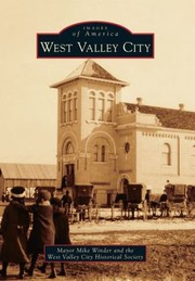
Books about West Valley City
![The Complete Sherlock Holmes [4 novels, 56 stories]](https://covers.openlibrary.org/b/id/12501284-M.jpg)
Search results from Open Library.
Recent natural events nearby
- Wildfire Rocky Canyon, Morgan, UtahWildfires · 2026-08-07 · 26 mi
- Wildfire Brushy Canyon, Box Elder, UtahWildfires · 2026-08-27 · 48 mi
- Prescribed Fire West Fork RX, Wasatch, UtahWildfires · 2026-10-05 · 52 mi
- Prescribed Fire Bear River MBR Unit 2c RX, Box Elder, UtahWildfires · 2026-09-18 · 57 mi
- Wildfire Tom Creek, Tooele, UtahWildfires · 2026-08-24 · 60 mi
- Wildfire Johnson Canyon, Box Elder, UtahWildfires · 2026-08-01 · 83 mi
- Wildfire Salt Wells, Box Elder, UtahWildfires · 2026-08-21 · 85 mi
- Wildfire North Heglar, Cassia, IdahoWildfires · 2026-08-19 · 136 mi
Wildfires, storms and other events from NASA EONET (last 12 months, within 250 mi).
Ground air-quality sensors
Recently spotted species
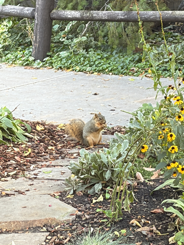
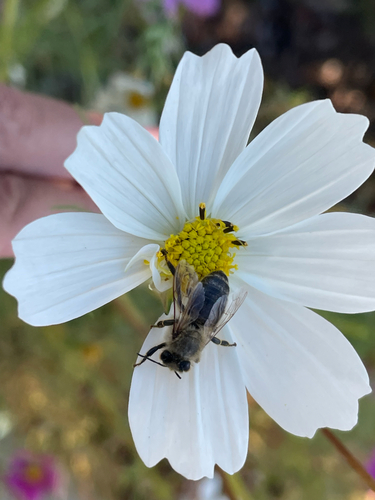

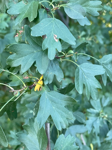
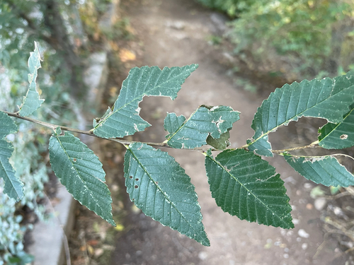
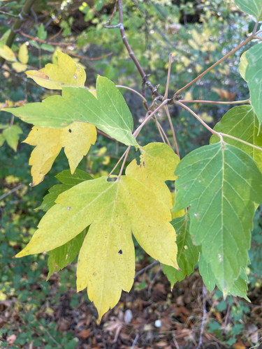
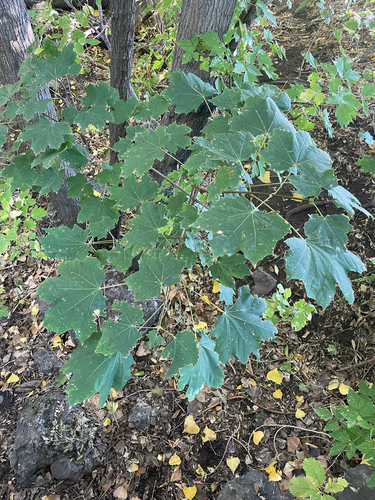
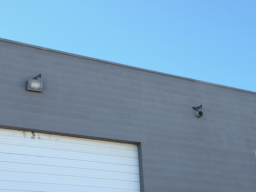

Research-grade observations from iNaturalist (within ~15 mi).
Nearest stream gauge
Live readings from USGS NWIS · measured 2026-09-16 22:00 UTC.
Events
Gallery
Sources
- • Wikipedia
- • US Census Bureau (ACS 5-year estimates)
- • NOAA National Weather Service
- • Wikidata
- • USGS Earthquake Catalog (global feed)
- • USGS NWIS (water data)
- • NCES via Urban Institute Education Data Portal
- • GBIF (Global Biodiversity Information Facility)
- • iNaturalist
- • CDC PLACES
- • Open-Meteo / sunrise-sunset.org
- • Wikipedia Pageviews API
- • Open Library
- • NASA EONET