Browse / Uruguay / Maldonado / Aiguá
Aiguá
Maldonadotown

Aiguá
Total population
2,742
Founded
1892
Demographic figures from INE Uruguay. Overview below cites Wikipedia and may reference a different year.
City facts
Facts from Wikidata (CC0).
Overview
Aiguá is a city of the Maldonado Department in Uruguay. Its name means running water in the Guaraní language. It is also the name of the municipality to which the city belongs. It includes the following zones: Aiguá, Sauce de Aiguá, Sarandí de Aiguá, Alférez, Valdivia, Salamanca, Coronilla, Rincón de Aparicio, Los Talas, Paso de los Talas.
Read more on WikipediaHistory & geography
History
On 9 May 1906 it was declared a "Pueblo" (village)
Geography
The city is located in the northern sector of the department, at the intersection of Route 39 with Route 109, north of the capital city, Maldonado. It is situated on the east bank of the stream Arroyo de Aiguá, one of the main tributaries of Cebollatí River. The municipality of Aiguá has the highest point of Uruguay, the Cerro Catedral. This point is situated at an altitude of .
Excerpted from the corresponding Wikipedia article (CC BY-SA).
Geography
Coordinates & boundaries from the US Census TIGER/Line shapefiles.
Climate
Air quality
Walkability
Amenities nearby
Wildlife & biodiversity
Earthquake history
Photos
Sights & places nearby
Notable people from here
People born within ~10 km, from Wikidata (CC0). Click any name for their Wikipedia article.
Nearby places in Maldonado
- Gerona47.9 mi away · pop. 687
- Punta Negra54.1 mi away · pop. 914
- Curupá1769.5 mi away
- Pau-da-terra1810.5 mi away
- Brejo dos Bois1822.1 mi away
- Santana1823.6 mi away
- Pedras Pretas1827.9 mi away
- Purezinho1838.5 mi away
- Suçuapara1847.3 mi away
- São Pedro1852.7 mi away
- Bavieira1866.7 mi away
- São João da Cachoeira1912.4 mi away
Geography & sun
Elevation, sunrise/sunset and daylight from Open-Meteo. Solar climatology from NASA POWER.
Nearby airports
Public attention
Pageview totals from the Wikimedia Pageviews API.
Books about this place
Recent natural events nearby
Ground air-quality sensors
Recently spotted species
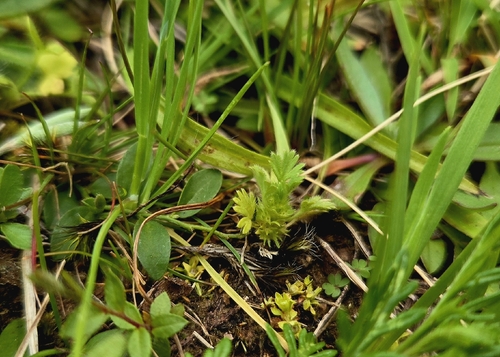
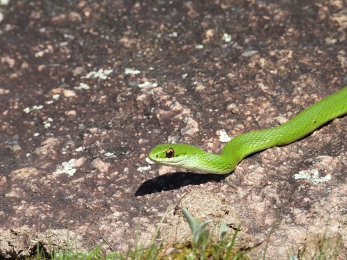
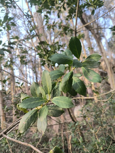
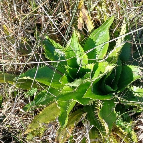
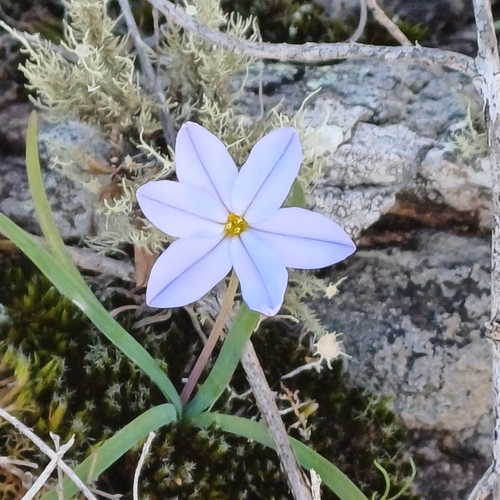
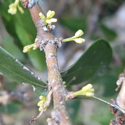
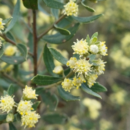
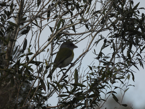
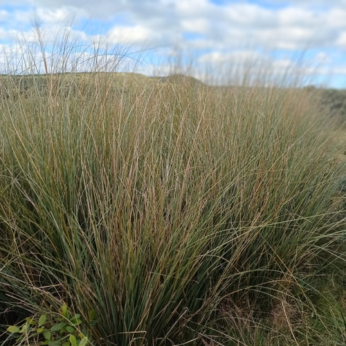
Research-grade observations from iNaturalist (within ~15 mi).
Events
Gallery
Sources
- • Wikipedia
- • Wikidata
- • iNaturalist
- • Open-Meteo / sunrise-sunset.org
- • Wikipedia Pageviews API
- • Wikidata SPARQL (CC0) — population, area, elevation, inception, head of government, Commons image