Browse / Uruguay / Rocha / Chuy
Chuy
Rochacity

Chuy
Total population
14,521
Founded
1888
Air quality index
Demographic figures from INE Uruguay. Overview below cites Wikipedia and may reference a different year.
City facts
Facts from Wikidata (CC0).
Overview
Chuy is a city in the extreme east of Uruguay, in the Rocha Department, 340 kilometres (211 mi) northeast of Montevideo. It lies on the border with Brazil, separated from its Brazilian sister town of Chuí only by a shared avenue that serves as the border, and by the Arroyo Chuy (stream) to the east. Chuy's population was 9,675 in 2011.
Read more on WikipediaHistory & geography
History
In the late 17th century, Portugal and Spain began the occupation of the Banda Oriental; they succeeded in founding Colonia del Sacramento in 1680, Montevideo in 1726, the Fuerte de San Miguel in 1737, and the Fortaleza de Santa Teresa in 1762. The Treaty of Madrid (1750) settled boundaries between the mouth of the creek Valizas and Cabo Polonio. By order of the Governor of Montevideo, José Joaquín de Viana, in 1751, frontier military posts were created, with colonial guards on both sides of the Chuy stream, the result of the discussions that had prevailed in the courts of the Spanish and Portuguese crowns. The treaty expired in 1761 with the signing of the Treaty of El Pardo. In Europe came the Seven Years' War. At that time, Pedro de Cevallos ousted the Portuguese colony of Santa Teresa and San Miguel, and Chuy came to dominate the southern Rio Grande do Sul. The situation was unstable, however, and the signing of the Treaty of San Ildefonso on October 1, 1777, led to a clearer demarcation of dominions in South America. In 1762 after the surrender of Colonia del Sacramento, Pedro de Cevallos went to the Portuguese, demanding the "eviction of the Yacuí River and areas of Rio Pardo, Santo Amaro, Rio Grande, San Gonzalo, San Miguel and Chuy, as well as Martín García Island and Dos Hermanas Island." In 1763, the Military Command at Maldonado was created to take care of security in the east. In 1772 Bernardo Lecocq developed the fortifications of Fuerte de San Miguel here. Eventually, however, Spain would lose influence over these territories. For the sake of demarcating the Hispano-Lusitanian boundary, both Spain and Portugal brought to the area a significant number of scientists. Work in the Guardia de Chuy began in February 1784. It is presumed that in 1826, there…
Geography
The town lies on National Route 9, 340 kilometres northeast of the capital, Montevideo,
Excerpted from the corresponding Wikipedia article (CC BY-SA).
Geography
Coordinates & boundaries from the US Census TIGER/Line shapefiles.
Climate
10-year averages from ERA5 reanalysis (Open-Meteo).
Air quality
Current readings from Open-Meteo Air Quality API (Copernicus CAMS European reanalysis).
Walkability
Amenities nearby
Wildlife & biodiversity
Most-observed species
- Southern LapwingVanellus chilensis (Molina, 1782) · Aves307
- Great KiskadeePitangus sulphuratus (Linnaeus, 1766) · Aves271
- Monk ParakeetMyiopsitta monachus (Boddaert, 1783) · Aves263
- Rufous HorneroFurnarius rufus (Gmelin, 1788) · Aves250
- Eared DoveZenaida auriculata (Des Murs, 1847) · Aves227
- White-faced IbisPlegadis chihi (Vieillot, 1817) · Aves221
- Saffron FinchSicalis flaveola (Linnaeus, 1766) · Aves199
- Brown-chested MartinProgne tapera (Linnaeus, 1766) · Aves185
Citizen-science & research observations from the Global Biodiversity Information Facility (GBIF).
Earthquake history
Events from the USGS Earthquake Catalog (global) (FDSN Event Web Service).
Photos
Sights & places nearby
Notable people from here
People born within ~10 km, from Wikidata (CC0). Click any name for their Wikipedia article.
Nearby places in Rocha
- 18 de Julio5.7 mi away · pop. 1,153
- Barra del Chuy5.7 mi away · pop. 905
- Puimayen5.8 mi away · pop. 1,346
- Barrio Pereira13.7 mi away · pop. 209
- La Coronilla14.4 mi away · pop. 707
- Capacho14.5 mi away · pop. 544
- San Luis al Medio16.2 mi away · pop. 649
- Punta del Diablo24.7 mi away · pop. 2,014
- La Esmeralda34.8 mi away · pop. 245
- Cebollatí35.3 mi away · pop. 1,665
- Castillos42 mi away · pop. 7,715
- Lascano43.2 mi away · pop. 7,572
Geography & sun
Elevation, sunrise/sunset and daylight from Open-Meteo. Solar climatology from NASA POWER.
Nearby airports
Public attention
Pageview totals from the Wikimedia Pageviews API.
Books about this place
Recent natural events nearby
Ground air-quality sensors
Recently spotted species
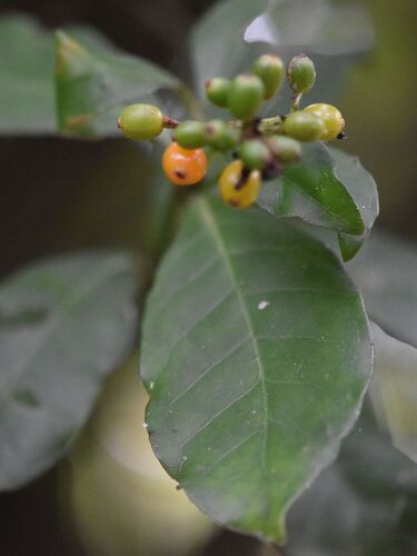
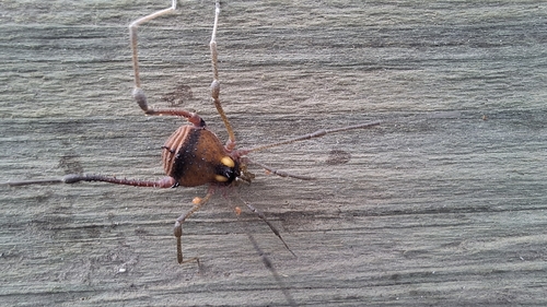
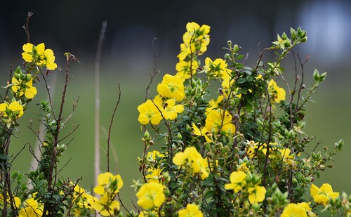
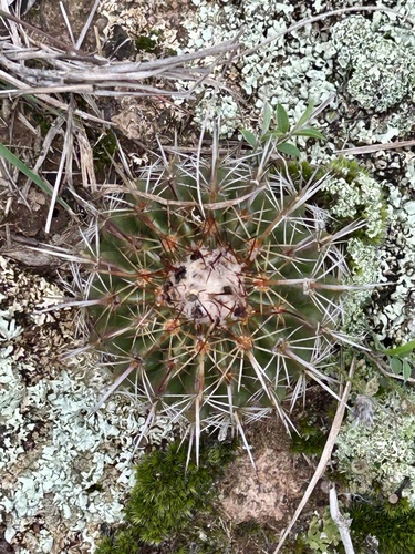
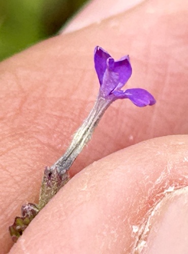
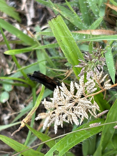
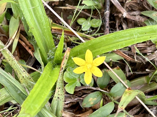
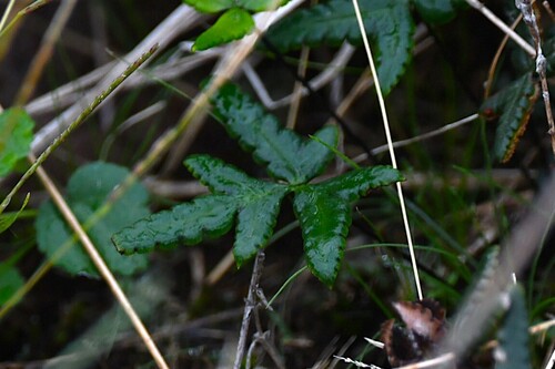
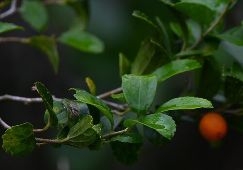
Research-grade observations from iNaturalist (within ~15 mi).
Events
Gallery
Geotagged photos within ~6 miles of Chuy, from Wikimedia Commons contributors.
 0 mi
0 mi 0.3 mi
 0.4 mi
 0.4 mi
.jpg) 0.9 mi
0.9 mi.jpg) 0.9 mi
0.9 mi 1 mi
1 mi.jpg) 1.3 mi
1.3 mi 2.9 mi
.jpg) 3.2 mi
3.2 mi.jpg) 3.8 mi
3.8 mi 4.6 mi
 4.8 mi
 5 mi
5 mi 5 mi
5 mi 5 mi
5 mi 5 mi
5 mi 5 mi
5 mi 5.2 mi
 5.8 mi
 5.8 mi
 5.8 mi
 5.8 mi
Photos via Wikimedia Commons — see each image page for license & attribution.
Sources
- • Wikipedia
- • Open-Meteo (ERA5 reanalysis)
- • Wikimedia Commons
- • Wikidata
- • Open-Meteo Air Quality (CAMS)
- • USGS Earthquake Catalog (global feed)
- • GBIF (Global Biodiversity Information Facility)
- • iNaturalist
- • Open-Meteo / sunrise-sunset.org
- • Wikipedia Pageviews API
- • Wikidata SPARQL (CC0) — population, area, elevation, inception, head of government, Commons image