Browse / Uruguay / Río Negro / Fray Bentos
Fray Bentos
Río Negrocity

Fray Bentos
Total population
26,951
Founded
1859
Demographic figures from INE Uruguay. Overview below cites Wikipedia and may reference a different year.
City facts
Facts from Wikidata (CC0).
Overview
Fray Bentos is the capital city of the Río Negro Department, in south-western Uruguay, at the Argentina-Uruguay border, near the Argentine city of Gualeguaychú. Its port on the Uruguay River is one of the nation's most important harbours. The city hosts the first campus of the Technological University, beside the historically relevant industrial complex Anglo, a World Heritage Site, however, the Port is mainly famous for giving the name to the world renowned Fray Bentos pies.
Read more on WikipediaHistory & geography
History
The town was founded as 'Villa Independencia' by Decree of 16 April 1859. It became capital of the Department of Río Negro on 7 July 1860 by the Act of Ley Nº 1.475 and its status was elevated to "Ciudad" (city) on 16 July 1900 by the Act of Ley Nº 2.656. Historically, Fray Bentos' main industry has been meat processing. An industrial plant owned by the Societe de Fray Bentos Giebert & Cie., the Liebig Extract of Meat Company (LEMCO), was founded there in 1863. It was closed in 1979, after 117 years in operation. A local history museum opened on the site in March 2005. The surroundings of Fray Bentos were the location of the crash of Austral Flight 2553, in which 74 people were killed (69 passengers and 5 crew) on 10 October 1997. On 5 July 2015, the city's Barrio Anglo, the location of the industrial plant, was declared a World Heritage Site as the "Fray Bentos Cultural-Industrial Landscape".
Geography
The city is close to the border with Argentina and about due north of Buenos Aires, and north-west from Montevideo, Uruguay's capital.
Excerpted from the corresponding Wikipedia article (CC BY-SA).
Geography
Coordinates & boundaries from the US Census TIGER/Line shapefiles.
Climate
Air quality
Walkability
Amenities nearby
Wildlife & biodiversity
Earthquake history
Photos
Sights & places nearby
Notable people from here
Nearby places in Río Negro
- Tenente Ananias2249.3 mi away · pop. 10,262
- Major Felipe2250.1 mi away
- Rancho Manoel Paulino2251.1 mi away
- Coronel João Pessoa2251.5 mi away · pop. 4,237
- São Miguel2252.4 mi away · pop. 23,537
- Mata de São Bráz2254.2 mi away
- Riacho de Santana2256.1 mi away · pop. 4,127
- Alexandria2258.3 mi away · pop. 13,640
- Doutor Severiano2263.7 mi away · pop. 7,044
- Rafael Fernandes2263.8 mi away · pop. 5,432
- Encanto2265.3 mi away · pop. 6,016
- Ipueira2265.7 mi away · pop. 2,035
Geography & sun
Elevation, sunrise/sunset and daylight from Open-Meteo. Solar climatology from NASA POWER.
Nearby airports
Public attention
Pageview totals from the Wikimedia Pageviews API.
Books about Fray Bentos
Search results from Open Library.
Recent natural events nearby
Ground air-quality sensors
Recently spotted species
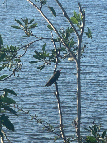
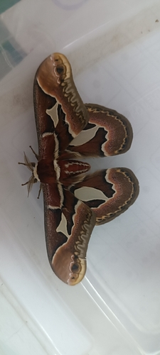
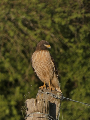
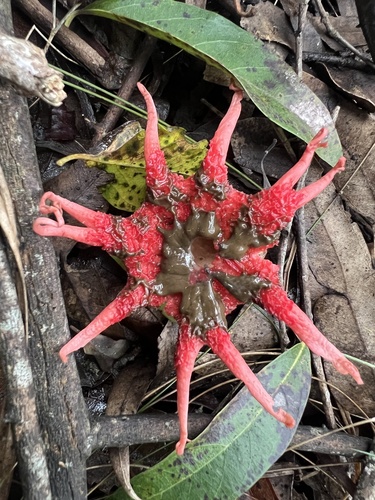
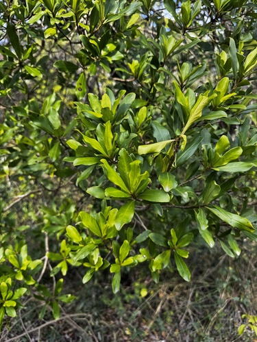
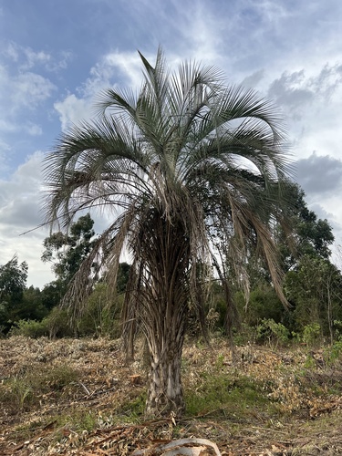
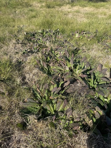
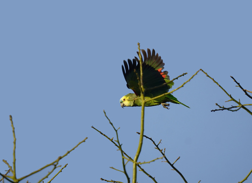
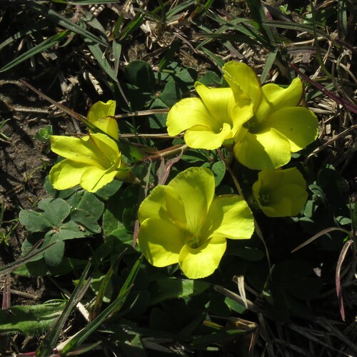
Research-grade observations from iNaturalist (within ~15 mi).
Events
Gallery
Sources
- • Wikipedia
- • Wikidata
- • iNaturalist
- • Open-Meteo / sunrise-sunset.org
- • Wikipedia Pageviews API
- • Open Library
- • Wikidata SPARQL (CC0) — population, area, elevation, inception, head of government, Commons image