Browse / Uruguay / Cerro Largo / Lago Merín
Lago Merín
Cerro Largovillage

Lago Merín
Total population
794
Demographic figures from INE Uruguay. Overview below cites Wikipedia and may reference a different year.
City facts
Facts from Wikidata (CC0).
Overview
Lago Merín is a village and resort on the coast of Lagoon Merín, in the Cerro Largo Department of Uruguay. Although it has a very few permanent inhabitants, it is an important summer resort. In the last years it has become an important kitesurfing location.
Read more on WikipediaHistory & geography
Geography
It is located near the borders.
Excerpted from the corresponding Wikipedia article (CC BY-SA).
Geography
Coordinates & boundaries from the US Census TIGER/Line shapefiles.
Climate
10-year averages from ERA5 reanalysis (Open-Meteo).
Air quality
Walkability
Amenities nearby
Wildlife & biodiversity
Earthquake history
Photos
Sights & places nearby
Notable people from here
Nearby places in Cerro Largo
- Ciudad Rodrigo5878.3 mi away · pop. 10,873
- San Felices de los Gallegos5886.4 mi away · pop. 355
- Las Casas del Conde5889.3 mi away · pop. 63
- El Cabaco5889.6 mi away · pop. 216
- Hinojosa de Duero5891.1 mi away · pop. 561
- Fresnedoso5896.3 mi away · pop. 92
- Vitigudino5903.8 mi away · pop. 2,291
- Arenas de San Pedro5904.7 mi away · pop. 5,638
- Hoyos del Espino5909.6 mi away · pop. 360
- San Esteban del Valle5911.6 mi away · pop. 734
- San Martín del Pimpollar5914.2 mi away · pop. 202
- Navarrevisca5919.3 mi away · pop. 285
Geography & sun
Elevation, sunrise/sunset and daylight from Open-Meteo. Solar climatology from NASA POWER.
Nearby airports
Public attention
Pageview totals from the Wikimedia Pageviews API.
Books about this place
Recent natural events nearby
Ground air-quality sensors
Recently spotted species
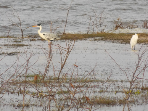
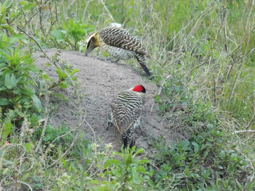
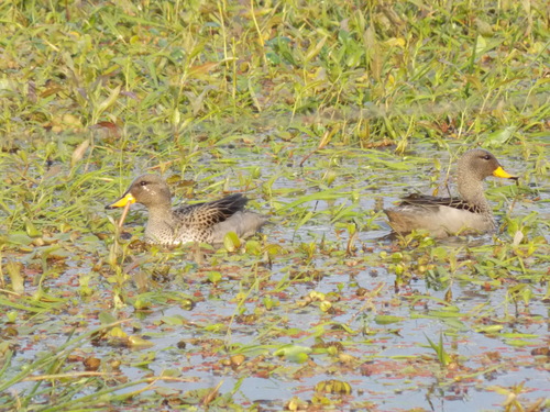
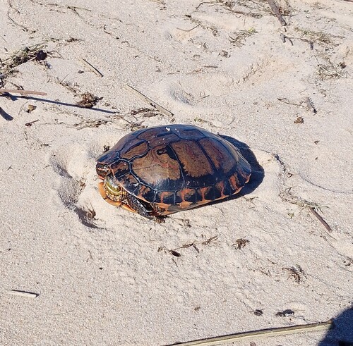
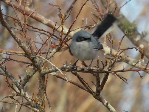
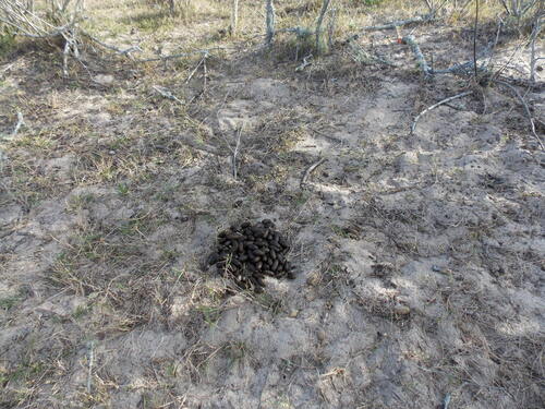
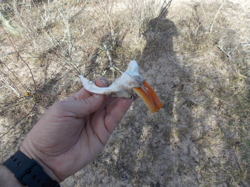
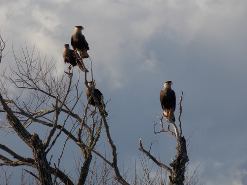
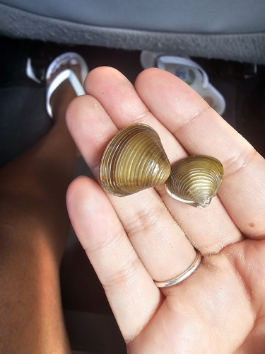
Research-grade observations from iNaturalist (within ~15 mi).
Events
Gallery
Sources
- • Wikipedia
- • Open-Meteo (ERA5 reanalysis)
- • Wikidata
- • iNaturalist
- • Open-Meteo / sunrise-sunset.org
- • Wikipedia Pageviews API
- • Wikidata SPARQL (CC0) — population, area, elevation, inception, head of government, Commons image