Browse / Uruguay / Rivera / Minas de Corrales
Minas de Corrales
Riveratown
Total population
3,641
Demographic figures from INE Uruguay. Overview below cites Wikipedia and may reference a different year.
City facts
Facts from Wikidata (CC0).
Overview
Minas de Corrales is a town in the Rivera Department of northeastern Uruguay.
Read more on WikipediaHistory & geography
History
In 1878 the mining company Compañía Francesa de Minas de Oro del Uruguay started looking for gold in the area, giving thus birth to the town. From the end of December 1879 to the start of March 1880 Henry Küss visited Uruguay to evaluate the gold concession on the Arroyo Corrales. The company was looking for at least 8 million francs to develop the mines. Küss undertook a careful survey of the mineralogy. His report was unenthusiastic, saying only that it might be worth spending two or three hundred thousand francs on a more systematic study. In 1902 the railway line was inaugurated, which operated until 1916, when the company ended. On 9 November 1920, it was declared a "Pueblo" (village) by the Act of Ley Nº 7.299, In 1997 the mining operations resumed by the company Uruguay Mineral Exploration (UME).
Geography
The town is located on the banks of the stream Arroyo Corrales, on the intersection of Route 28 with Route 400, about south of the city of Rivera.
Excerpted from the corresponding Wikipedia article (CC BY-SA).
Geography
Coordinates & boundaries from the US Census TIGER/Line shapefiles.
Climate
Air quality
Walkability
Amenities nearby
Wildlife & biodiversity
Earthquake history
Photos
Sights & places nearby
Notable people from here
Nearby places in Rivera
- Las Flores21.9 mi away · pop. 373
- Paso Ataques25.9 mi away · pop. 868
- Moirones28.9 mi away · pop. 213
- Lapuente30.8 mi away · pop. 295
- Tranqueras31.1 mi away · pop. 7,743
- Lagos del Norte40.5 mi away · pop. 624
- Masoller45.8 mi away · pop. 312
- Rivera46.4 mi away · pop. 84,775
- Vichadero48.1 mi away · pop. 3,919
- Paso Hospital50.5 mi away · pop. 273
Geography & sun
Elevation, sunrise/sunset and daylight from Open-Meteo. Solar climatology from NASA POWER.
Nearby airports
Public attention
Pageview totals from the Wikimedia Pageviews API.
Books about this place
Recent natural events nearby
Ground air-quality sensors
Recently spotted species
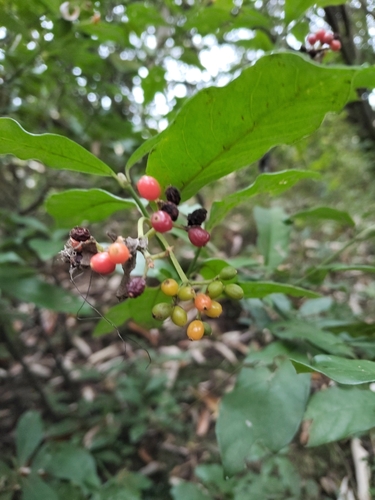
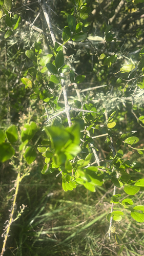
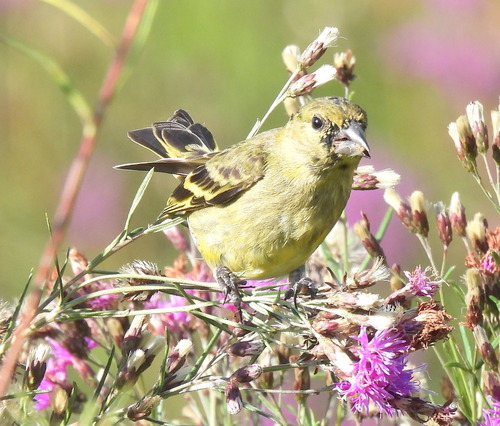
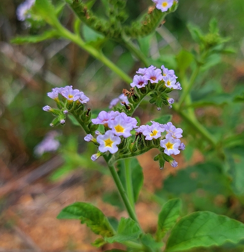
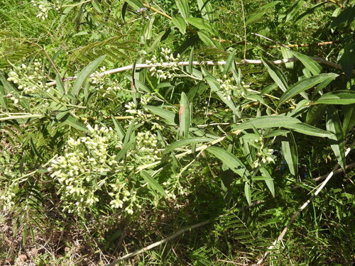
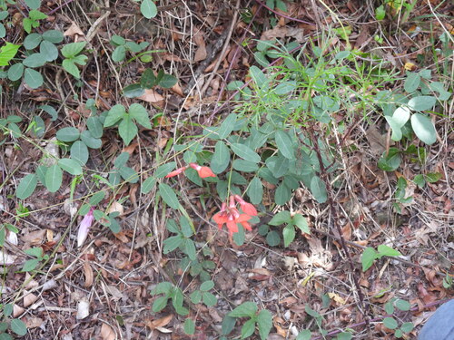
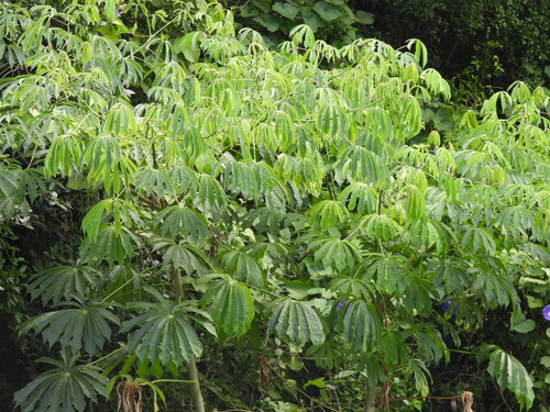
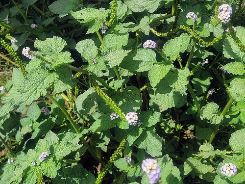
Research-grade observations from iNaturalist (within ~15 mi).
Events
Gallery
Sources
- • Wikipedia
- • Wikidata
- • iNaturalist
- • Open-Meteo / sunrise-sunset.org
- • Wikipedia Pageviews API
- • Wikidata SPARQL (CC0) — population, area, elevation, inception, head of government, Commons image