Browse / Uruguay / Río Negro / Nuevo Berlín
Nuevo Berlín
Río Negrotown

Nuevo Berlín
Total population
2,692
Founded
1875
Demographic figures from INE Uruguay. Overview below cites Wikipedia and may reference a different year.
City facts
Facts from Wikidata (CC0).
Overview
Nuevo Berlín is a town in the Río Negro Department of western Uruguay.
Read more on WikipediaHistory & geography
History
In the 19th century, some German settlements were created next to the river, mostly composed of farmers. The brothers Richard and Karl Wendelstandt migrated from Germany around 1850 and bought the farm "El Curupí" in the Department of Soriano. Some years later, they bought properties in Paysandú which they renamed as Nueva Mehlem (New Mehlem). This new farm, with some 27,000 hectares was surrounded by 32 "positions", 31 of which were occupied by other German families. Meanwhile, the Wendelstandt family in Germany decided to invest in their relatives' properties in Uruguay. With these investments, the surroundings of "Nueva Mehlem" farm became the village Nuevo Berlín around 1865–1868, with the approval of the brothers Wendelstandt, who requested Mr. Fridolin Quincke to design it. The task was finished by the end of 1874. On 16 March 1875, it was declared a "Pueblo" (village)
Geography
It is located on the east bank of Uruguay River northwest of the junction of Route 24 with Route 20. South of the town flows the stream Arroyo de la Yeguada and to its west, in the Uruguay River, is the island Isla del Burro. Its distance from the capital of the department Fray Bentos is via Route 42 and Route 2.
Excerpted from the corresponding Wikipedia article (CC BY-SA).
Geography
Coordinates & boundaries from the US Census TIGER/Line shapefiles.
Climate
Air quality
Walkability
Amenities nearby
Wildlife & biodiversity
Earthquake history
Photos
Sights & places nearby
Notable people from here


People born within ~10 km, from Wikidata (CC0). Click any name for their Wikipedia article.
Nearby places in Río Negro
- Bellaco18.1 mi away · pop. 263
- Tenente Ananias2232.6 mi away · pop. 10,262
- Major Felipe2233.5 mi away
- Rancho Manoel Paulino2234.4 mi away
- Coronel João Pessoa2234.9 mi away · pop. 4,237
- São Miguel2235.8 mi away · pop. 23,537
- Mata de São Bráz2237.5 mi away
- Riacho de Santana2239.4 mi away · pop. 4,127
- Alexandria2241.6 mi away · pop. 13,640
- Rafael Fernandes2247.1 mi away · pop. 5,432
- Doutor Severiano2247.1 mi away · pop. 7,044
- Encanto2248.7 mi away · pop. 6,016
Geography & sun
Elevation, sunrise/sunset and daylight from Open-Meteo. Solar climatology from NASA POWER.
Nearby airports
Public attention
Pageview totals from the Wikimedia Pageviews API.
Books about Nuevo Berlín

Search results from Open Library.
Recent natural events nearby
Ground air-quality sensors
Recently spotted species
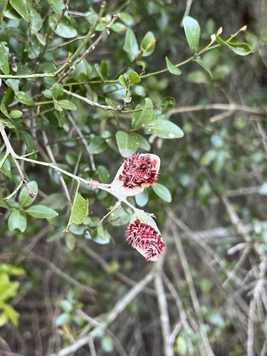
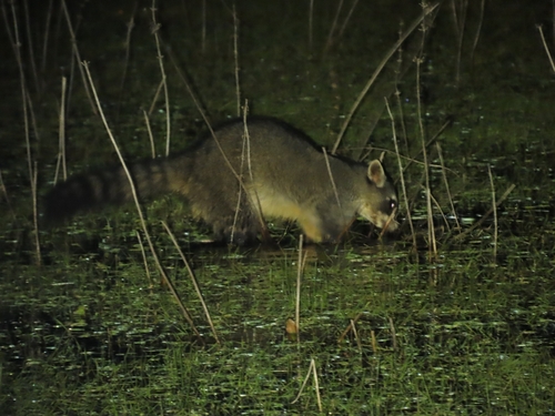
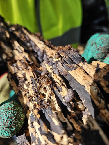
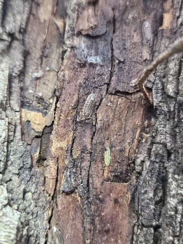
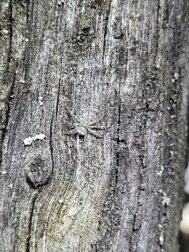
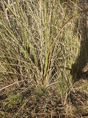
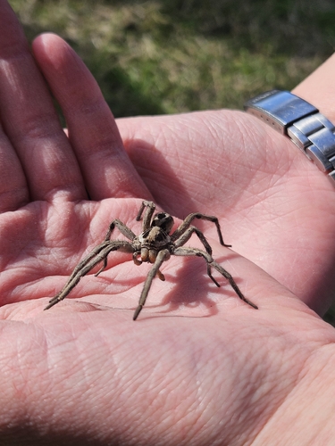
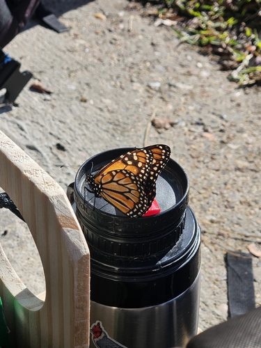
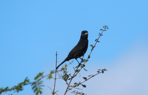
Research-grade observations from iNaturalist (within ~15 mi).
Events
Gallery
Sources
- • Wikipedia
- • Wikidata
- • iNaturalist
- • Open-Meteo / sunrise-sunset.org
- • Wikipedia Pageviews API
- • Open Library
- • Wikidata SPARQL (CC0) — population, area, elevation, inception, head of government, Commons image