Browse / Uruguay / Paysandú / Nuevo Paysandú
Nuevo Paysandú
Paysandútown

Nuevo Paysandú
Total population
10,170
Demographic figures from INE Uruguay. Overview below cites Wikipedia and may reference a different year.
City facts
Overview
Nuevo Paysandú is a northern suburb of Paysandú in the Paysandú Department of western Uruguay.
Read more on WikipediaHistory & geography
Geography
It is situated on the coast of Uruguay River, just south of the stream Arroyo de San Francisco Grande and west of Route 3. At its west end is situated the Area Industrial F1 Norte of Paysandú, as well as General Artigas Bridge, which passes over Río Uruguay to join National Road #135 of Entre Ríos Province, Argentina.
Excerpted from the corresponding Wikipedia article (CC BY-SA).
Geography
Coordinates & boundaries from the US Census TIGER/Line shapefiles.
Climate
Air quality
Walkability
Amenities nearby
Wildlife & biodiversity
Earthquake history
Photos
Sights & places nearby
Notable people from here


People born within ~10 km, from Wikidata (CC0). Click any name for their Wikipedia article.
Nearby places in Paysandú
- Linwood5103.6 mi away · pop. 3,921
- Folsom5106.7 mi away · pop. 8,671
- Glenolden5106.7 mi away
- East Lansdowne5109.2 mi away
- Little Britain5110.2 mi away
- Broomall5112.2 mi away · pop. 10,679
- Haverford College5114.2 mi away
- Bristol5114.3 mi away
- Cochranville5114.9 mi away · pop. 590
- Bryn Mawr5115.1 mi away · pop. 5,880
- Marshallton5115.3 mi away
- Elkins Park5116.3 mi away
Geography & sun
Nearby airports
Public attention
Books about this place
Recent natural events nearby
Ground air-quality sensors
Recently spotted species



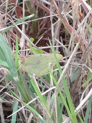
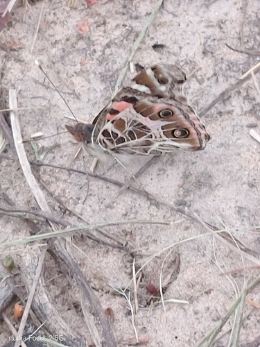
Research-grade observations from iNaturalist (within ~15 mi).
Events
Gallery
Sources
- • Wikipedia
- • Wikidata
- • iNaturalist
- • Wikidata SPARQL (CC0) — population, area, elevation, inception, head of government, Commons image